An official website of the United States government
Here's how you know
Official websites use .gov A
.gov website belongs to an official government
organization in the United States.
Secure .gov websites use HTTPS A
lock (
) or https:// means you've safely connected to
the .gov website. Share sensitive information only on official,
secure websites.
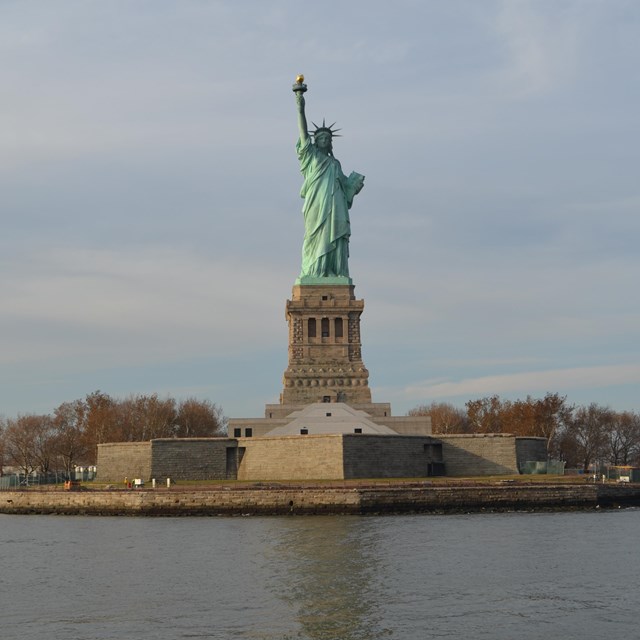
Photo by John Donofrio, Share The Experience Photo Contest.
Introduction
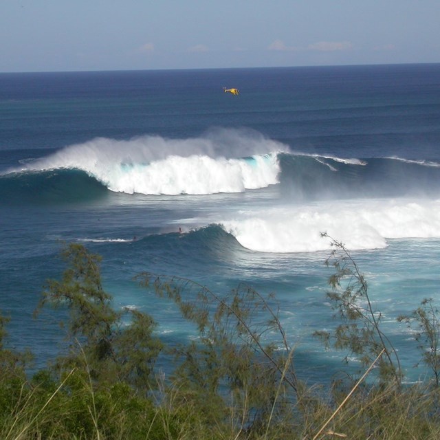
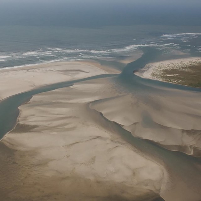
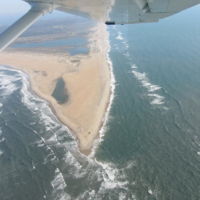
About 70% of Earth's surface is covered by water, and the coast, which forms the interface between land and water, is the sight of a particular array of geomorphic processes and a range of landforms. For example, waves and tides involve movement and dissipation of large amounts of energy capable of causing rapid and spectacular changes in landforms along coasts. Shoreline and coastal features (e.g., dunes, berms, reefs, and barrier islands) are critical for protecting the inland areas from storm events and high-energy waves.
Geologic Features and Processes
To learn about Coastal Geology and the dynamic forces that affect shorelines, select a topic below.
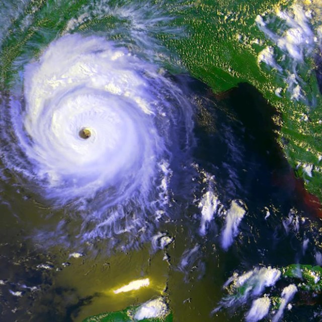
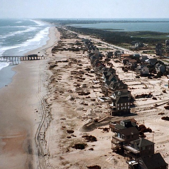
Moving powerfully around the globe, storms frequently cut across coastlines. Their intense forces drive large scale geomorphic change along the shore and disrupt existing processes. Beach profiles shift in response to increased wave action and local habitat is both disturbed and created. Although recognized for the devastation they cause, storms also have many beneficial aspects in the natural environment.
People love living near the beach. More than 50% of the U.S. population lives within 50 miles (80 km) of a shoreline. However, dynamic coastal processes put human lives and property at risk. Human activities can also threaten the balance of natural coastal systems. To learn more about our interactions with coastal features and processes, select a topic below.
To protect and preserve natural areas along coasts, NPS resource mangers need an understanding of how coastal systems function. An integrative, holistic approach to coastal investigations takes into account the complex interactions between coastal processes and materials, as well as human influences within these very important and fragile environments.
To learn more about how geoscience can be used in managing and conserving coastal land, select a topic below.
Ross Lake National Recreation Area, Washington—[Geodiversity Atlas] [Park Home]
Coastal Engineering Inventory
A reconnaissance-level investigation, analysis and inventory of coastal engineering projects in ten coastal national parks was completed by the Program for the Study of Developed Shorelines at Western Carolina University with funding provided by the National Park Service Recreation Fee Program.