Last updated: July 8, 2024
Article
NPS Geodiversity Atlas—Isle Royale National Park, Michigan
Geodiversity refers to the full variety of natural geologic (rocks, minerals, sediments, fossils, landforms, and physical processes) and soil resources and processes that occur in the park. A product of the Geologic Resources Inventory, the NPS Geodiversity Atlas delivers information in support of education, Geoconservation, and integrated management of living (biotic) and non-living (abiotic) components of the ecosystem.

Introduction
Isle Royale National Park (ISRO) is located in northwestern Lake Superior near the Canadian border in Keweenaw County, Michigan. Established on March 3, 1931, ISRO encompasses about 231,395 hectares (571,790 acres) spread across one large island surrounded by approximately 400 smaller islands. Portions of ISRO were designated a wilderness area on October 20, 1976, and the park became a Biosphere Reserve in 1980 (Anderson 2017). The main island is located about 16 km (10 mi) east of the Minnesota mainland, and more than 48 km (30 mi) north of the upper peninsula of Michigan. The park is only accessible by seaplane from Houghton, Michigan, or by boat ferry from Houghton or Copper Harbor, Michigan, or Grand Portage, Minnesota. The remote, forested islands of ISRO are ideal natural laboratories that host a unique environment that responds to natural influences with little human interference (Thornberry-Ehrlich 2008).
Geologic Setting
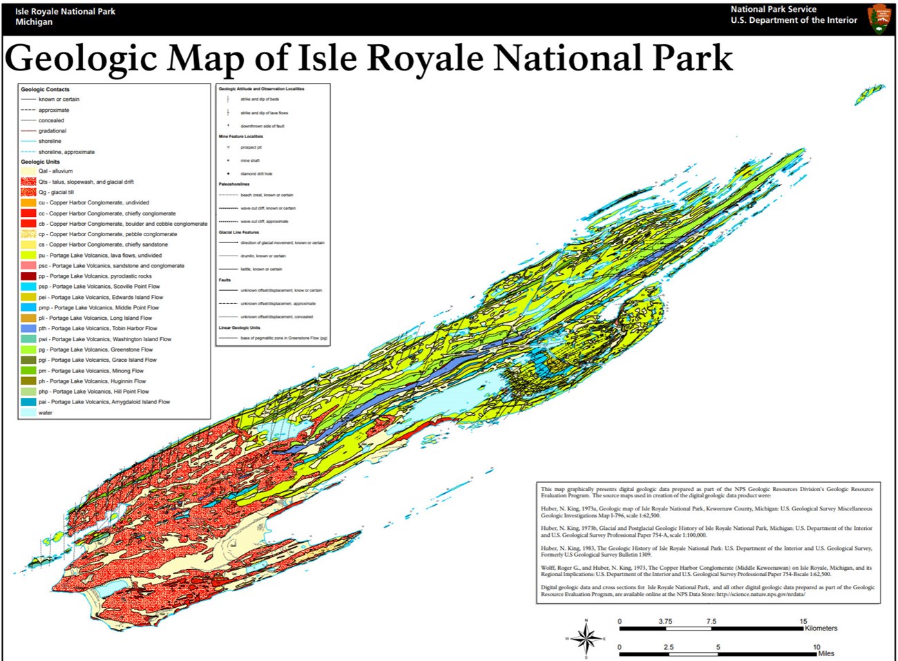
The bedrock geology of Isle Royale National Park predominantly consists of ancient thick lava flows of the Mesoproterozoic Portage Lake Volcanics of the Bergland Group and overlying strata of the Copper Harbor Conglomerate of the Oronto Group. Numerous flow units of the Portage Lake Volcanics occur in ISRO, including the Scoville Point, Edwards Island, Middle Point, Long Island, Tobin Harbor, Washington Island, Grace Island, Minong, Huginnin, Hill Point, and Amygdaloid Island flows. The Greenstone Flow of the Portage Lake Volcanics forms Greenstone Ridge which is the backbone of Isle Royale and measures up to 240 m (790 ft) thick (Thornberry-Ehrlich 2008). Many of the geologic units exposed at ISRO form a regional-scale syncline that extends beneath the surface of Lake Superior, reappearing on the Keweenaw Peninsula of Michigan (Huber 1975). The youngest geologic units of ISRO are unconsolidated surficial deposits consisting of glacial deposits and alluvium. During the last significant glacial maximum (~11,000 years ago) glaciers scoured the Great Lakes area leaving grooves, fjord-like inlets, rocky finger-like promontories of land, and drowned valleys with abundant glacial deposits of till and erratics (glacier-transported rock fragment that differs from local bedrock) (Thornberry-Ehrlich 2008).
Geologic Features and Processes
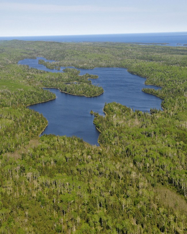
Isle Royale includes the primary large island known as “Isle Royale,” and more than 400 smaller islands that together form a complex, forested archipelago surrounded by the deep, cold waters of the largest North American Great Lake. Within the designated boundary, more than 75% of the total park area is submerged. There are no contemporary roads on the island and the park is currently only accessible by ferry, seaplane, or private boat. A portion of the park’s northern boundary within Lake Superior abuts the international border between the United States and Canada.
The rocks of the Isle Royale archipelago exhibit more than one billion years of geologic processes, including successive volcanism, sedimentation, uplift, and erosion.
Continental Rift
The Lake Superior basin is the result of a combination of a failed continental rift, a geological syncline, and glacial erosion, which preferentially excavated the softer rocks from the middle of the syncline (Mineralogical Society of America (MSA) 2007). The failed continental rift in the middle of the North American craton (The Midcontinent Rift) was active approximately 1.1 billion years ago (Sexton and Henson 1991).
Massive Volcanic Flow
The billion-year-old Greenstone flow forming the island’s main ridge reveals one of the oldest, largest, and longestlasting lava flow events on Earth. Uplifted layers of these rocks create the park’s distinctive ridge and valley topography.
A distinctive feature of the lava flows is the presence of a variety of minerals including prehnite, datolite, quartz, calcite, and a rare variety of pumpellyite—Isle Royale greenstone, Michigan’s state gemstone. Native copper, found throughout the lava flows and sedimentary layers, influenced human presence on the island for thousands of years.
Glacial
Massive glacial events over the last three million years sculpted the landscape of the archipelago. The resulting formation of Lake Superior effectively isolated Isle Royale from the rest of the continent. Glacial processes provided the foundation for the developing ecology of the island. The island’s distinct ridge and valley topography continues underwater, and is all a direct result of these dynamic geologic processes.
Abandoned Mineral Lands
The first evidence of human use of Isle Royale was left by Archaic period aboriginal copper miners. Shallow pits remain throughout the island as testimony to the special purity of Isle Royale’s copper deposits. Native groups also came to harvest the island’s other natural resources through hunting, fishing, and gathering plants and berries. Three phases of historic copper mining punctuated the 19th century history of the island. Coming thousands of years after prehistoric miners, historic entrepreneurs often mined the same sites that had attracted native peoples. Success was limited because of the high cost of operation at Isle Royale. Initial profits ended when pure copper veins pinched out and inevitably all of the copper mining companies went out of business.
NPS AML sites can be important cultural resources and habitat, but many pose risks to park visitors and wildlife, and degrade water quality, park landscapes, and physical and biological resources. Be safe near AML sites—Stay Out and Stay Alive!
Regional Geology
Isle Royale is a part of the Superior Upland Physiographic Province and shares its geologic history and some characteristic geologic formations with a region that extends well beyond park boundaries.
- Scoping summaries are records of scoping meetings where NPS staff and local geologists determined the park’s geologic mapping plan and what content should be included in the report.
- Digital geologic maps include files for viewing in GIS software, a guide to using the data, and a document with ancillary map information. Newer products also include data viewable in Google Earth and online map services.
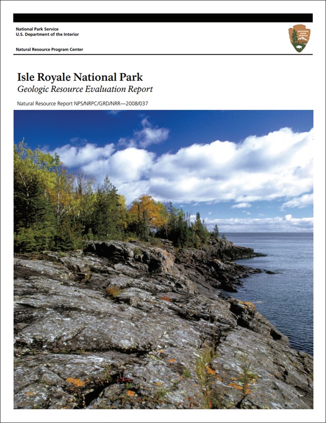
- Reports use the maps to discuss the park’s setting and significance, notable geologic features and processes, geologic resource management issues, and geologic history.
- Posters are a static view of the GIS data in PDF format. Newer posters include aerial imagery or shaded relief and other park information. They are also included with the reports.
- Projects list basic information about the program and all products available for a park.
Source: NPS DataStore Saved Search 2906. To search for additional information, visit the NPS DataStore.
A NPS Soil Resources Inventory project has been completed for Isle Royale National Park and can be found on the NPS Data Store.
Source: NPS DataStore Saved Search 2978. To search for additional information, visit the NPS DataStore.
Related Articles
Isle Royale National Park
National Park Service Geodiversity Atlas
The servicewide Geodiversity Atlas provides information on geoheritage and geodiversity resources and values within the National Park System. This information supports science-based geoconservation and interpretation in the NPS, as well as STEM education in schools, museums, and field camps. The NPS Geologic Resources Division and many parks work with National and International geoconservation communities to ensure that NPS abiotic resources are managed using the highest standards and best practices available.


