Last updated: July 17, 2024
Article
NPS Geodiversity Atlas—Whiskeytown National Recreation Area, California
Geodiversity refers to the full variety of natural geologic (rocks, minerals, sediments, fossils, landforms, and physical processes) and soil resources and processes that occur in the park. A product of the Geologic Resources Inventory, the NPS Geodiversity Atlas delivers information in support of education, Geoconservation, and integrated management of living (biotic) and non-living (abiotic) components of the ecosystem.

Introduction
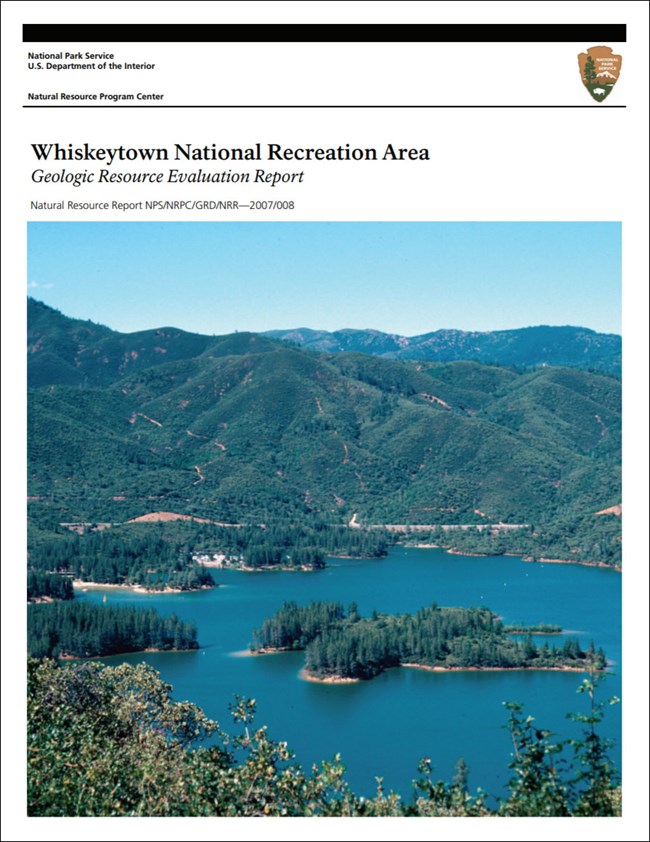
Whiskeytown National Recreation Area (WHIS) lies within the Klamath Mountains approximately (90 mi) south of the California–Oregon border in Shasta and Trinity Counties, northern California. Established on October 21, 1972, WHIS preserves approximately 17,200 hectares (42,503 acres) of mountainous backcountry, the popular man-made Whiskeytown Lake, and historic sites related to the 1849 Gold Rush. Created by the impoundment of Clear Creek behind the Whiskeytown Dam, Whiskeytown Lake provides a multitude of outdoor recreation opportunities including fishing, kayaking, sailing, swimming, and waterskiing (Anderson 2017).
Geologic Setting
The geology of Whiskeytown National Recreation Area is dominated by igneous and metamorphic rocks that played an important role in the early mining history of the region. Prospectors and miners of the Gold Rush were attracted to the area by the gold and sulfide deposits associated with igneous intrusions (Thornberry-Ehrlich 2007). The oldest geologic units in WHIS are the Devonian Copley Greenstone and Balaklala Rhyolite that occur throughout the central portion of WHIS. Some of the youngest geologic units of the park include the Pleistocene Red Bluff Formation and more recent landslide and talus deposits. One of the most prominent geologic features within the recreation area is the peak of Shasta Bally with an elevation of 1,893 m (6,209 ft) (Thornberry-Ehrlich 2007).
Regional Geology
Whiskeytown National Recreation Area is a part of the Pacific Border Physiographic Province and shares its geologic history and some characteristic geologic formations with a region that extends well beyond park boundaries.
- Scoping summaries are records of scoping meetings where NPS staff and local geologists determined the park’s geologic mapping plan and what content should be included in the report.
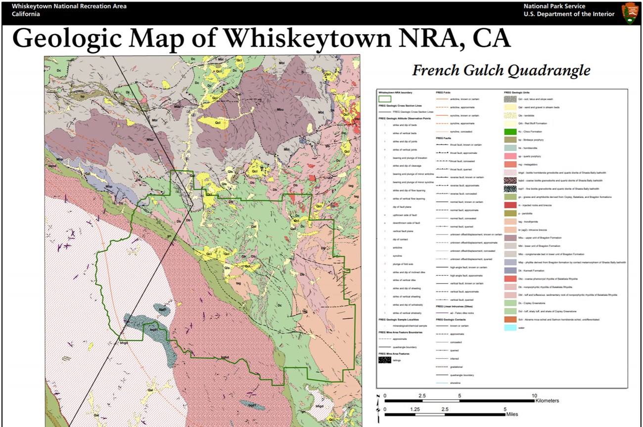
- Digital geologic maps include files for viewing in GIS software, a guide to using the data, and a document with ancillary map information. Newer products also include data viewable in Google Earth and online map services.
- Reports use the maps to discuss the park’s setting and significance, notable geologic features and processes, geologic resource management issues, and geologic history.
- Posters are a static view of the GIS data in PDF format. Newer posters include aerial imagery or shaded relief and other park information. They are also included with the reports.
- Projects list basic information about the program and all products available for a park.
Source: NPS DataStore Saved Search 3196. To search for additional information, visit the NPS DataStore.
A NPS Soil Resources Inventory project has been completed for Whiskeytown National Recreation Area and can be found on the NPS Data Store.
Source: NPS DataStore Saved Search 3221. To search for additional information, visit the NPS DataStore.

Related Links
Related Articles
Whiskeytown National Recreation Area
National Park Service Geodiversity Atlas
The servicewide Geodiversity Atlas provides information on geoheritage and geodiversity resources and values within the National Park System. This information supports science-based geoconservation and interpretation in the NPS, as well as STEM education in schools, museums, and field camps. The NPS Geologic Resources Division and many parks work with National and International geoconservation communities to ensure that NPS abiotic resources are managed using the highest standards and best practices available.

