Last updated: July 17, 2024
Article
NPS Geodiversity Atlas—Timucuan Ecological and Historic Preserve Ecological and Historic Preserve, Florida
Geodiversity refers to the full variety of natural geologic (rocks, minerals, sediments, fossils, landforms, and physical processes) and soil resources and processes that occur in the park. A product of the Geologic Resources Inventory, the NPS Geodiversity Atlas delivers information in support of education, Geoconservation, and integrated management of living (biotic) and non-living (abiotic) components of the ecosystem.

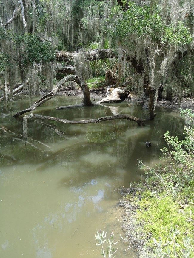
Photo by Rick Rasmussen.
Introduction
Timucuan Ecological and Historic Preserve (TIMU) is located immediately northeast of Jacksonville between the Nassau River and St. Johns River in Duval County, northeastern Florida. Authorized on February 16, 1988, TIMU contains approximately 18,721 hectares (46,263 acres) and protects one of the largest remaining saltmarsh estuaries on the southeast coast. The preserve is named in honor of the Timucua, an indigenous people who inhabited the St. Johns River valley at the time of first contact with Europeans. More than 200 archeological sites in TIMU record over 6,000 years of human history, including Archaic shell ring sites and shell middens that provide insight into the lives of the Timucua and other pre-European contact civilizations (National Park Service 2012c). Timucuan Ecological Preserve also contains the Kingsley Plantation, one of the oldest surviving examples of an antebellum Spanish Colonial plantation.
Geologic Setting
The geology of Timucuan Ecological and Historic Preserve and Fort Caroline National Memorial consists primarily of three groups of unconsolidated, surficial deposits: (1) Quaternary beach ridge and dune deposits; (2) Quaternary undifferentiated deposits; and (3) Holocene undifferentiated sediments. These geologically young deposits represent a range of depositional settings that include saltmarsh, beach, marine, and lagoon habitats (Scott et al. 1986). Quaternary beach ridge and dune deposits underlie both TIMU and FOCA, consisting primarily of quartz sand with minor amounts of clay and organics. Undifferentiated Quaternary sediments are mapped in the northwestern portion of TIMU near Thomas Creek and are of identical lithology to similar-age beach ridge and dune deposits. Undifferentiated Holocene sediments are located in both TIMU and FOCA and occur in association with the St. Johns River, Nassau River, and their tributaries.
Regional Geology
Timucuan Ecological and Historic Preserve is a part of the Coastal Plain Physiographic Province and shares its geologic history and some characteristic geologic formations with a region that extends well beyond park boundaries.
- Scoping summaries are records of scoping meetings where NPS staff and local geologists determined the park’s geologic mapping plan and what content should be included in the report.
- Digital geologic maps include files for viewing in GIS software, a guide to using the data, and a document with ancillary map information. Newer products also include data viewable in Google Earth and online map services.
- Reports use the maps to discuss the park’s setting and significance, notable geologic features and processes, geologic resource management issues, and geologic history.
- Posters are a static view of the GIS data in PDF format. Newer posters include aerial imagery or shaded relief and other park information. They are also included with the reports.
- Projects list basic information about the program and all products available for a park.
Source: NPS DataStore Saved Search 3182. To search for additional information, visit the NPS DataStore.
A NPS Soil Resources Inventory project has been completed for Timucuan Ecological and Historic Preserve Ecological and Historic Preserve and can be found on the NPS Data Store.
Source: NPS DataStore Saved Search 3133. To search for additional information, visit the NPS DataStore.
Related Articles
Timucuan Ecological and Historic Preserve Ecological and Historic Preserve
National Park Service Geodiversity Atlas
The servicewide Geodiversity Atlas provides information on geoheritage and geodiversity resources and values within the National Park System. This information supports science-based geoconservation and interpretation in the NPS, as well as STEM education in schools, museums, and field camps. The NPS Geologic Resources Division and many parks work with National and International geoconservation communities to ensure that NPS abiotic resources are managed using the highest standards and best practices available.

