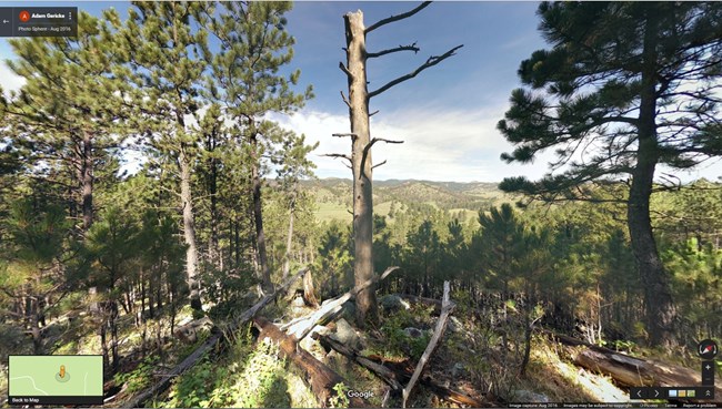
NPS Photo Rankin Ridge Trail This trail goes up to highest point in the park. Great views abound on this family-friendly walk as illustrated by these photo sphere stations. For educators, these stations act as a good introduction to the surface area of the park. They can be used as a stand alone or a pre-visit lesson.
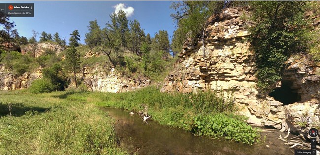
NPS Photo Centennial Trail This section of trail marks the beginning of the 111-mile journey. The first few miles follows Beaver Creek. These photo spheres go all the way to the Beaver Creek sink which is where a significant amount of Beaver Creek's flow disappears into the ground. The educational theme to these photo spheres is hydrology and water.
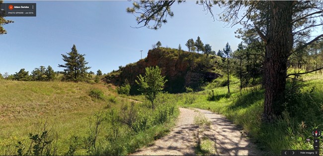
NPS Photo Wind Cave Canyon Trail This old road follow Wind Cave Canyon out to the park boundary. Filled with a variety of habitats, this trail is a great place to go bird watching. The photo sphere collection follows about half of the trail. For educators, these photo spheres are a great tool to talk about fire as a fire burnt to the south side of the road but not the north.
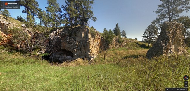
NPS Photo Cold Brook Canyon Trail The beautiful trail winds its way across gorgeous habitats and striking vistas. You will cross a small prairie dog town that provides a great opportunity to see a wide variety of wildlife. These photo spheres provide educators with stations to talk about the varied habitat and wildlife to be found in this area.
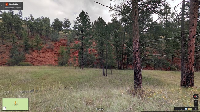
NPS Photo East Bison Flats Trail Starting from the park's south entrance, this trail follows the park boundary to amazing views of Buffalo Gap. Along the way, you will gaze upon the bright, red Minnelusa Formation. You can continue on this trail all the way to Wind Cave Canyon or feel free to go off on your own to explore the numerous valleys and canyons along the way. Just remember to bring enough water and supplies!
|
Last updated: May 1, 2018
