Marin Headlands


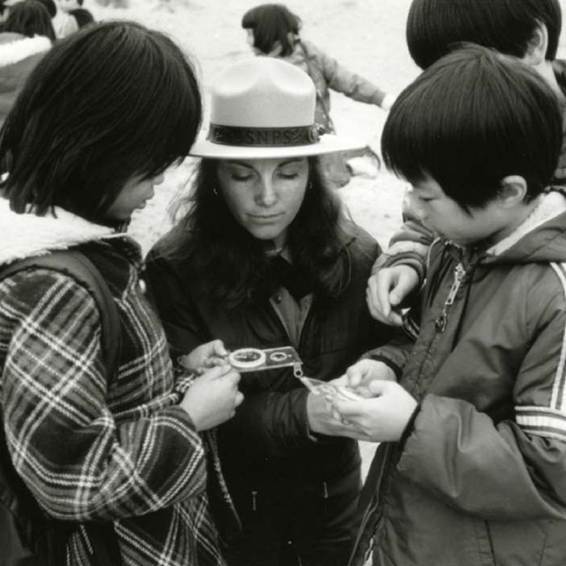
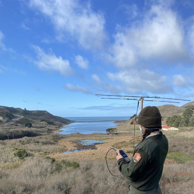
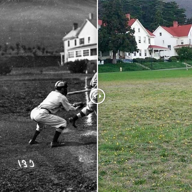
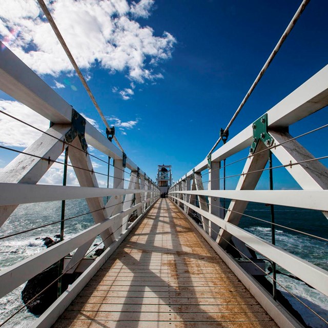
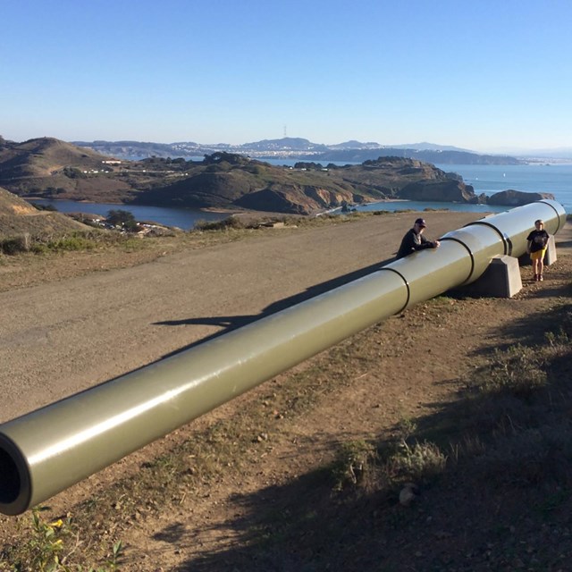
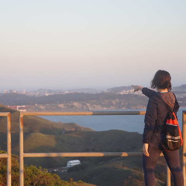
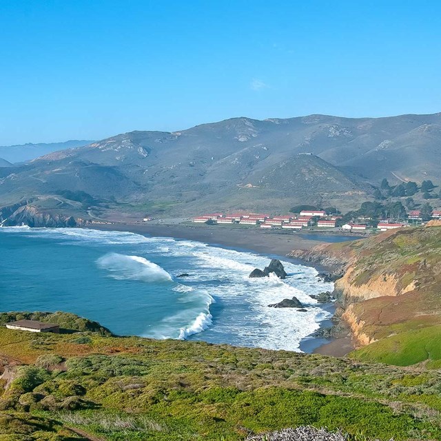
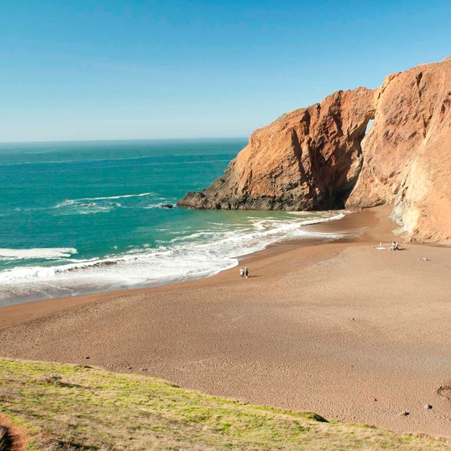
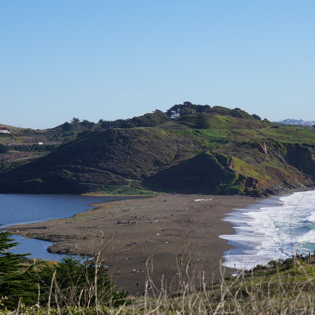
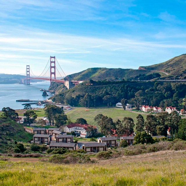
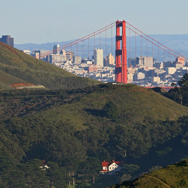
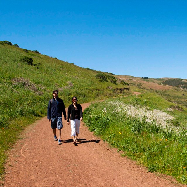
The Marin Headlands has an amazing richness of history and biological diversity.

The Marin Headlands is known for its unique geology, its fog-swept coastal prairie ecosystem, and its many chapters of history. Dramatic cliffs of oceanic rock offer sweeping views of the Golden Gate Bridge, and the foghorn frequently resounds over the misty lagoon and rolling hills of coyote brush and sage. The Headlands’ human history is long and layered – originating with the Coast Miwok peoples who have lived here for thousands of years and evolving to become a hotspot for coastal defense through the Cold War. Today, we welcome international and local visitors, jr. rangers, hikers, surfers, students, birders, geologists, historians, and researchers. We hope you find a way in which your own lives and passions intersect with the themes underlying the story of this park.

Tips & Highlights

  • We seek to make our park accessible and usable to all individuals. Learn more on our accessibility page.

  • See our calendar for upcoming events.

  • You may lose cellular service in parts of the Headlands. Plan ahead.

  • Bring your own snack and water; there are limited food vendors in the Marin Headlands.

  • Picnic area at Battery Wallace, near the Point Bonita Trailhead is complete with tables and grills (no water on site).

  • Marin Headlands trails can be accessed off of Highway 101 from Rodeo Avenue Exit and Trailhead, and Spencer Avenue Exit at Morning Sun Trailhead. Access is prohibited from Wolfback Ridge Road, which is private.


Stories & Photos


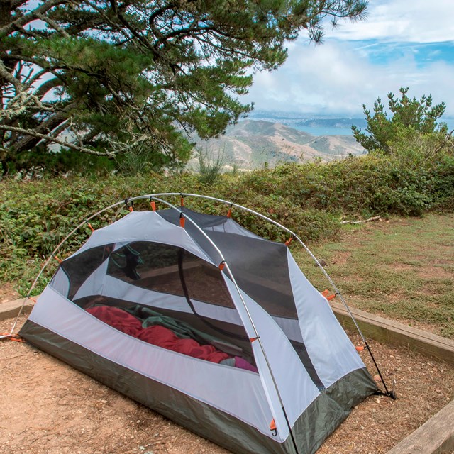
Places to Go in the Marin Headlands

  • A tent is set up on a tent pad, surrounded by trees.
    Camping

    The Marin Headlands features four hike-in campgrounds.

  • View of the walkway out to the lighthouse
    Point Bonita Lighthouse

    Discover the jewel of the San Francisco Bay: the Point Bonita Lighthouse.

  • Image of Nike Missile pointing skyward
    Nike Missile Site

    Contemplate the Cold War's influence on society at the Nike Missile Site.

  • Massive metal gun at Battery Townsley
    Battery Townsley

    Explore the historic tunnel that sheltered the Coast Artillery Corps during WWII.

  • A person pointing behind a railing at the Golden Gate Bridge and San Francisco
    Scenic Vistas

    Hawk Hill, Battery Spencer, Hill 88, Kirby Cove, and Slacker Ridge all offer spectacular views!

  • Fort Cronkhite beach and headlands coast line
    Fort Cronkhite

    Places within Fort Cronkhite include Rodeo Beach, Battery Townsley, and The Marine Mammal Center.

  • Sandy beach between two bluffs in the Tennessee Valley
    Tennessee Valley

    In the spring, take a stroll through Tennessee Valley and watch as the valley comes alive with colorful wildflowers.

  • View of Rodeo Beach, bordered by the Pacific Ocean on one side and Rodeo Lagoon on the other side.
    Rodeo Beach and Lagoon

    Rodeo Beach and Lagoon are part of Fort Cronkhite.

  • Buildings of Fort Baker nestled in the hills of the foreground, Golden Gate bridge & SF Bay behind
    Fort Baker

    Take a cell-phone tour of Fort Baker, an Endicott-period army post from the early 1900's.

  • Fort Barry nestled in green hills with Golden Gate Bridge and San Francisco behind
    Fort Barry

    Places within Fort Barry include the Nike Missile Site, Bicentennial Campground, and the Point Bonita Lighthouse.

  • Visitors hike a path through the green and grassy coastal chapparal of Gerbode Valley
    Gerbode Valley

    Enjoy the great outdoors with a hike through the coastal chapparal around Gerbode Valley.

Last updated: May 14, 2022

Park footer

Contact Info

Mailing Address:

Golden Gate National Recreation Area
Building 201, Fort Mason

San Francisco, CA 94123-0022

Phone:

415-561-4700
United States Park Police Dispatch: Non-Emergency: 415-561-5505 Emergency: 415-561-5656

Contact Us

Tools