Last Updated: October 31, 2022NOTICE
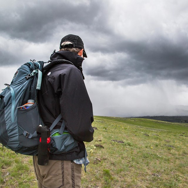
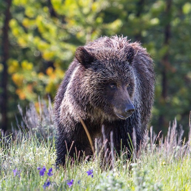
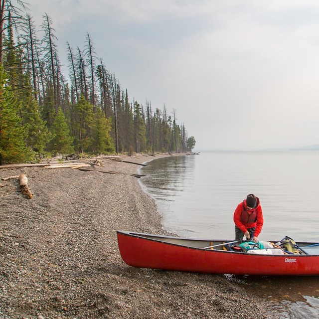
_________________________________________________________________________________________________________________________ Backcountry Permits:Backcountry Permits are required for all overnight stays in the Backcountry. Please visit Camp in the backcountry for information on how to obtain a backcountry permit. Backcountry Office Hours:Backcountry offices have closed for the season. In order to get your backcountry permit issued contact the Central Backcountry Office at 307-344-2160 no more than 48 hours prior to your travel dates. The Central Backcountry Office is open 8:00 am - 4:30 pm Monday through Friday. If 48 hours prior to your date falls within a weekend, please make arrangements to call prior to the 48 hour timeframe. General Conditions:Snow Levels:Some higher elevation passes and trails are beginning to accumulate snow. Please make sure to check out current snow and river conditions before heading into the backcountry. Water Caution:River Conditions Post Flooding Event: Due to the flooding event that occurred on June 13th, many of the river channels within the park have changed course, have new silt deposits and undercut banks. The new silt is like quicksand. Hikers and particularly stock users should scout river crossings for the best possible route and use extra caution. Fires:Before deciding to have a campfire, check that your campsite allows for fires, and consider the current weather conditions. Campfires are only allowed in the designated fire ring if it free of snow and can be located. Fire Danger is currently: Moderate (10/24/22) Fishing Season:The fishing season closes November 1. Please visit the Catch a fish page for further information. Boating Season:Boating Season ends November 1. Boat permits and inspections for aquatic invasive species are required before launching any watercraft in park waters. Prepare for your boating trip by Cleaning, Draining, and Drying your boats now. Docks have been removed from Eagle Bay, Wolf Bay, Plover Point,and Frank Island. Make sure to view the boating page for information for late season information as to where to get boat permits and Aquatic Invasive Species Inspections (10/13) Horse Use:Trails are open to horse use. A free day ride permit is required for all day rides. Overnight backountry permits are required for overnight stock use. Check individual trails in the sections below to view their status. Make sure to review our Ride a Horse page for further information regarding horse riding permit requirements and information. Pets:Other than qualified service animals, pets are not allowed in the backcountry. Bear Management Areas:In order to reduce human related impacts on bears in high density grizzly bear habitat the park has established several bear management areas. Listed below are the current Bear Management Areas (BMAs) in effect. Some Bear Management Areas are full closures, others are no off trail travel restrictions. Please reference the Bear Management page for further details and locations of closure area. Richards Pond (BMA B) Several restrictions in place. See Bear Management Area pages. Gallatin (BMA D) No off-trail travel through November 10. Washburn (BMA F) Closed through November 10. Antelope (BMA G) Closed through November 10. Mirror Plateau (BMA H) Open to day use only through November 12. Two Ocean (BMA L) No-off trail travel through November 15. Backcountry AccessReview the park roads page, to see which of the park's roads are open. Backcountry MapClick on a region of the map for current backcountry conditions in that area. 
Northwest Region
Old Yellowstone Railroad Bed (Gardiner)
Beaver Ponds/Sepulcher/Snow Pass area
Glen Creek Trailhead – Fawn Pass & Electric Pass
Bunsen Peak/Osprey Falls
Bighorn trail (Indian Creek)
Mount Holmes / Grizzly Lake area
Norris Geyser Basin Area
Purple Mountain
Monument Trail
Trailheads along Hwy 191 (from north to south)Daly Creek/Black Butte/Sky Rim Trail/Shelf Lake
Specimen Creek/High Lake/Crescent Lake/Sportsman Lake
Bacon Rind
Fawn Pass/Fan Creek
Bighorn Pass (Hwy 191)
Gneiss Creek/Cougar Creek
Harlequin Lake Trail
Back to Map Northeast RegionBlacktail Deer Creek Trail/Yellowstone River Trail/Black Canyon
Wraith Falls
Lava Creek Trail/Rescue Creek Trail
Hellroaring Creek/Coyote Creek/Buffalo Plateau
Buffalo Fork
Garnet Hill
Tower Fall Trail
Slough Creek
Pebble Creek
Bliss Pass (between Slough Creek and Pebble Creek)
Trout Lake
Back to Map Central RegionSpecimen Ridge/Agate Creek/Yellowstone Picnic Area trailhead
Lamar River Trail - Soda Butte to Mist Creek Pass
Cache Creek/Thunderer
Miller Creek
Frost Lake
Avalanche Peak
Wapiti Lake trail/ Wrangler Lake/ Broad Creek/ Howard Eaton trail
Pelican Valley/Turbid Lake
Canyon RegionSouth Rim and North Rim
Mount Washburn
Wrangler Lake/ Ribbon Lake
7-Mile Hole
Cascade, Grebe, Wolf & Ice Lake
Mary Mountain/Hayden Valley & Cygnet Lakes
Solfatara
Old Faithful RegionFairy Falls/Mystic Falls/Fountain Flats
Mallard Lake
Mary Mountain
Summit Lake
Southeastern RegionElephant Back, Natural Bridge, Storm Point, Pelican Creek Natural Trail Nine Mile Trailhead: Thorofare Trail / Mountain Creek Heart Lake South Boundary Area/Snake River/Two Ocean Plateau Riddle Lake Back to MapSouthwestShoshone Lake/Lewis Lake
Lone Star Trail & Howard Eaton Trail
Bechler Area
Robinson Creek
Union Falls/Mountain Ash Creek
Pitchstone Plateau
Beula Lake/South Boundary Trail west
Contact UsPlease email the Central Backcountry Office if you have any questions about specific areas. More Information
|
;)
;)
;)
;)
Last updated: March 28, 2024