
Get Active in the Park The beautiful landscapes and the variety of difficult to less challenging bike routes make the New River Gorge among the most popular destinations for mountain biking trips in the eastern U.S. Bike shops, mountain biking trails, outfitters and companies offering guided biking tours of the New River Gorge and nearby areas may be found throughout the region. 
Cycling Rules & Guidelines
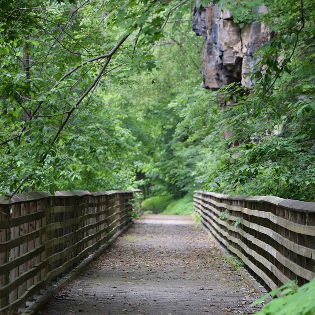
Arrowhead TrailsTotal Length: 12.8 miles 
Arrowhead TrailsThe requested video is no longer available.
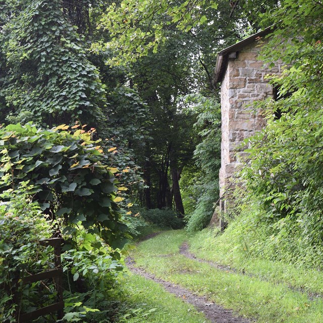
Other Area Trails for BikingHere are other trails throughout the park that offer biking. Keep in mind, these trails are also available for hiking, so please be cautious for other visitors when using these trails. E-bikesThe use of e-bikes, in compliance with applicable adopted state law, will be allowed on park roads opened to motor vehicle use (classes 1, 2, and 3). E-bikes will now be allowed the Stone Cliff Trail (classes 1 and 2 only). Due to public safety concerns, e-bikes will not be allowed on other trails where traditional bikes are currently allowed. The bikes shall be labeled showing the class of e-bike, or the operator shall carry documentation of the class of e-bike while operating within park boundaries. Class 1 e-bikes have a motor that provides assistance only when the rider is pedaling, and that ceases to provide assistance when the e-bike reaches 20 mph. Class 2 e-bikes have a motor that may be used exclusively to propel the bicycle, and that is not capable of providing assistance when the e-bike reaches 20 mph. Class 3 e-bikes have a motor that provides assistance only when the rider is pedaling, and that ceases to provide assistance when the e-bike reaches 28 mph. 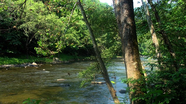
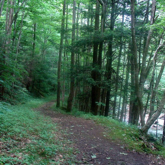
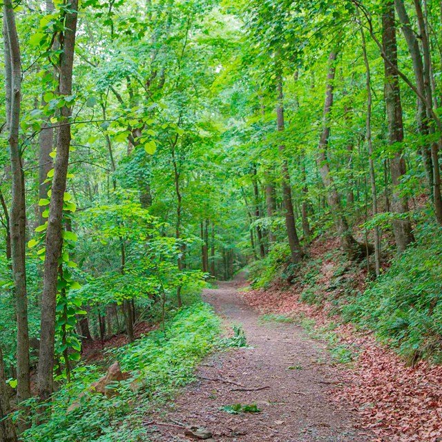
Bluestone Turnpike Trail
Ride the Bluestone Turnpike Trail at Bluestone National Scenic River. 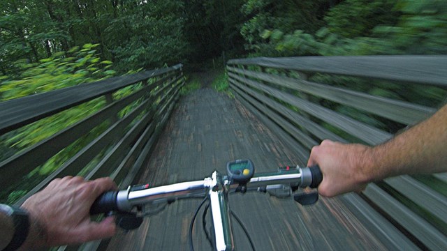
Biking Safety
Find out what you need to know to have a safe ride in the park. Trail Maps
|
Last updated: September 16, 2022