Last updated: May 3, 2022
Place
Glade Creek Trail
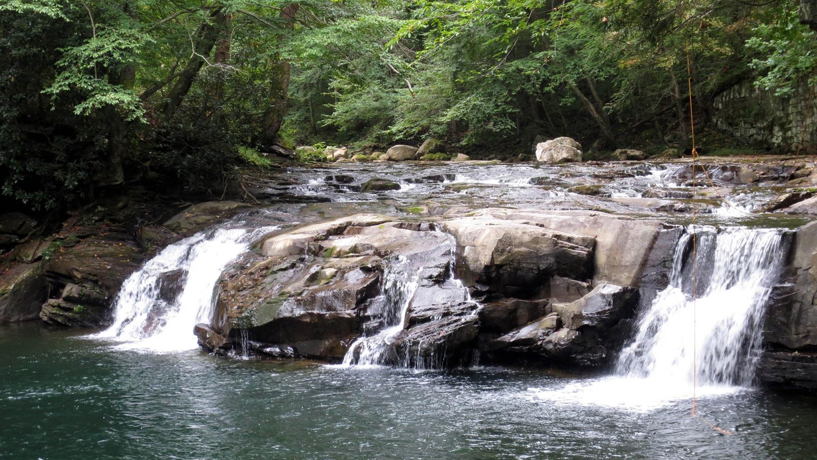
NPS/Dave Bieri
Quick Facts
Significance:
The Glade Creek Trail follows the route of an old narrow gauge rail line alongside a cascading stream.
Amenities
3 listed
Parking - Auto, Toilet - Vault/Composting, Trailhead
Labeled (1) on the Glade Creek Trails map
Length
5.6 miles/9.01 km (One-way)
Difficulty
Moderate
Trail type
Hiking and biking
Trail Description
This 5.6 mile trail follows an abandoned narrow-gauge railroad along Glade Creek. The trail offers an enjoyable stroll at a very moderate grade, and is popular with hikers of all ages and abilities, as well as being a favorite destination for those in search of swimming holes. A number of cascades and small waterfalls add to the trail's attraction. The lower part of Glade Creek is also a WV Catch & Release trout stream, so bring your fly rod or fishing pole along with you. A footbridge crosses Glade Creek three miles up from the New River. Below the footbridge the trail can be narrow and rocky.
Note
There is currently a wash out in the trail at the junction with Kates Falls Trail. This may be impassable when creeks are running high.
To reach trailhead from Beckley
From Route 19 (Eisenhower Drive), take Route 41 north toward Prince. Turn right onto the Glade Creek Road, just before the bridge at Prince. Follow the gravel road seven miles; it ends at the Glade Creek trailhead.
To reach trailhead from Fayetteville
Follow Route 19 south; take the Glen Jean exit. Turn right onto Route 61 south; follow Route 61 for 2.8 miles. Turn left, staying on Route 61, and continue for another 4.6 miles. Turn left onto Route 41 north; follow Route 41 for 4.0 miles toward Prince. Turn right onto the Glade Creek Road, just before the bridge at Prince. Follow the gravel road 7.0 miles; it ends at the Glade Creek trailhead.
To reach Upper Trailhead:
A high clearance four wheel drive vehicle is recommended for this road; be prepared for steep terrain, tight switchback curves, and muddy conditions. Take Grandview exit 129 off I-64. Turn south on WV Route 9. Travel 0.5 miles toward Little Beaver State Park (junction with WV Route 307 in 0.3 miles). Turn left onto unmarked gravel road (just before Fire Tower Road). Follow this road down to Glade Creek (about one mile). Cross the bridge for trailhead parking.