Last updated: May 7, 2022
Place
Keeneys Creek Rail Trail

NPS
Trailhead
Labeled (3) on the Nuttallburg Area Trails map
Length
3.3 miles/5.31 km (One-way)
Difficulty
Easy
Trail type
Hiking and biking
Trail Description
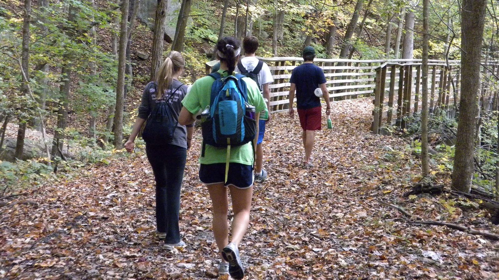
This former rail line once connected the mines and communities up Keeneys Creek to Nuttallburg and the Chesapeake & Ohio Railway mainline. Enjoy a leisurely stroll or bike ride on this wide trail that criss-crosses the rugged mountain landscape at a 4% grade. Here it is easy to see how the rugged terrain was a great challenge to those who constructed this railroad line over 100 years ago. This trail crosses under the conveyor, plus several trestle bridges offer spectacular views of scenic mountain streams, like Short Creek. Trail connections can be made from this trail to the Conveyor Trail and Town Loop Connector Trail.
Note
Keeneys Creek Rail Trail is currently closed due to a dangerous washout. Please check back for updates.
Lansing-Edmond Road and Keeneys Creek Road are both very small, curvy roads, including some single lane sections. Use caution while driving and be prepared to cooperate with other drivers; this may include reversing!
To reach the trailhead
This trail has two small trailhead parking areas on Keeneys Creek Road. To get to these parking areas, turn onto Lansing-Edmond Road (CO 5/82) off US 19 in Lansing, just north of Canyon Rim Visitor Center. Travel 6.0 miles to Winona, then turn right onto Keeneys Creek Road (CO 85/2). Travel 2.0 miles to the first trailhead parking area, just past the second bridge. Travel an additional 1.5 miles down this road to the second trailhead parking area on the right.
Winona can also be reached by traveling US 60 to Lansing-Edmond Road (CO 5/82) in Lookout. Travel 2.1 miles down Lansing-Edmond Road to Winona, then continue straight ahead 2.0 miles on Keeneys Creek Road (CO 85/2) to the first trailhead parking area or an additional 1.5 miles to the second parking area.
