Last updated: April 30, 2022
Place
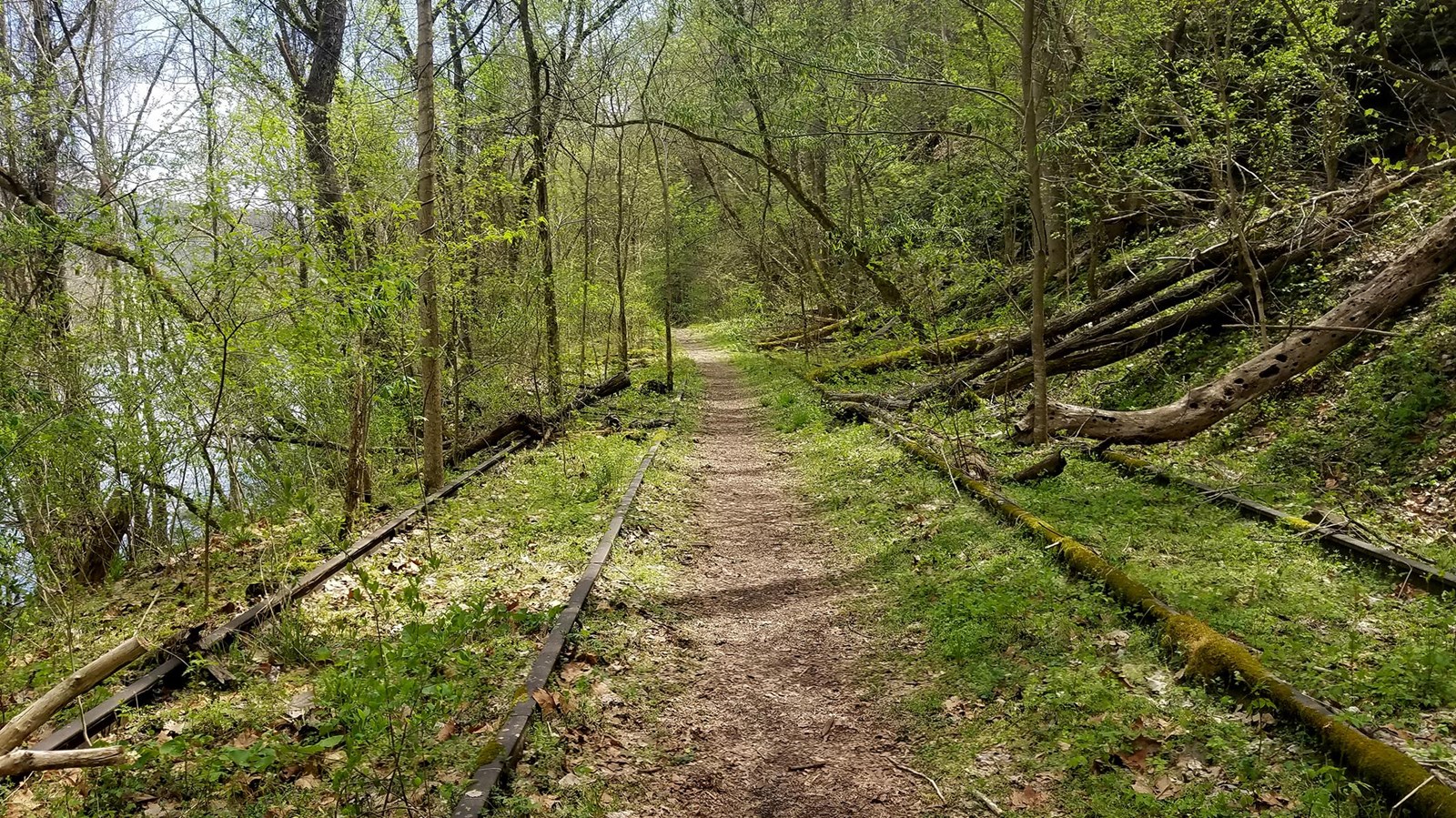
Southside Trail
NPS/Dave Bieri
Quick Facts
Amenities
3 listed
Parking - Auto, Toilet - Vault/Composting, Trailhead
Labeled (2) on the Cunard, Thurmond and Stone Cliff Area Trails map
Length
7.0 miles/11.27 km (One-way)
Difficulty
Easy
Trail type
Hiking and biking
Trail Description
This easy seven mile riverside trail provides great views of the New River and passes through several abandoned New River Gorge mining towns. Rush Run, Red Ash, and Brooklyn were all once bustling communities located along this abandoned railroad line. The first mile from Cunard River Access is open to motorized vehicles.
To reach the trailhead from Route 19
Follow Route 16 south through the town of Fayetteville. Take a left on Gateway Road (sign indicates Kaymoor and Cunard). Follow Gatewood Road for 4.6 miles and turn left at the sign for Cunard. Go 1.8 miles and turn left at both of the signs indicating Cunard River Access Road. Follow this road to the river access point, where parking is available. The first mile from the Cunard River Access is open to motorized vehicles. A parking area at Brooklyn marks the end of the maintained road.