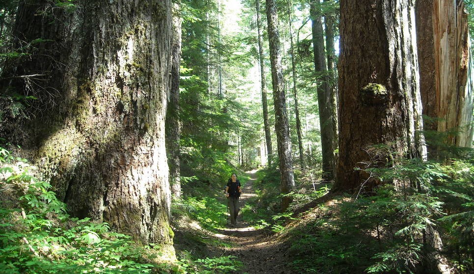
NPS/C. Roundtree Located in the southeast corner of the park, Ohanapecosh, named for a Taidnapam (Upper Cowlitz) Indian habitation site along the river, is thought to mean “standing at the edge.” Situated among Douglas-firs, western red cedars, and western hemlocks, visitors to Ohanapecosh can experience the beauty and complexity of an old-growth forest. The east side of the park is also somewhat drier and sunnier than the west side, making it a good destination when Paradise and Longmire are wet and foggy. Ohanapecosh is not accessible in winter. Ohanapecosh is located 3 miles (4.8 km) north of the park boundary on State Route 123 and 42 miles ( 68 km) east of the Nisqually Entrance. Check road status for current conditions. You might also consider visiting other areas of the park like Longmire, Paradise, Carbon River-Mowich, and Sunrise. Ohanapecosh Campground Closure in Summer 2025The Ohanapecosh Campground rehabilitation project will provide significant upgrades to the popular campground located in the southeast corner of the park. This effort will rehabilitate the campground’s 185 campsites and nine bathrooms, replace the aging wastewater collection system, upgrade electrical and water systems, and support improvements to campground accessibility.The project will be completed during the 2025 visitor season. The Ohanapecosh Campground and all associated structures including the visitor center, bathrooms, picnic area and amphitheater will remain closed to visitors for the duration of construction. However, the improved campground will reopen to visitors in time for the 2026 camping season. More information is available on the Park Construction FAQs page. 
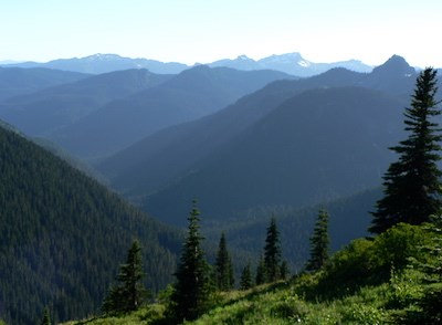
Steve Redman ServicesSee Operating Hours and Seasons for current information about these facilities. CampingThe Ohanapecosh Campground and picnic area is located on the banks of the peaceful Ohanapecosh River, within a majestic old-growth forest. Like the visitor center, the campground is open from late May to early October. Closed for the summer in 2025. FishingStreams in the Ohanapecosh watershed are open for fishing from the first Saturday in June until October 31st. Learn more about fishing regulations. Roadside AttractionsBox Canyon - Located on Stevens Canyon Road 12 miles (19 km) west of Ohanapecosh. From the bridge, gaze 180 feet (55 meters) below at water rushing through a narrow slot canyon carved by the Muddy Fork of the Cowlitz River. NOTE: No potable water or flush toilets available at Box Canyon in 2025. Reflection Lakes - Drive west 19 miles (30.6 km) from Ohanapecosh on Stevens Canyon Road for a possible glimpse of Mount Rainier's reflection in these subalpine lakes. Inspiration Point - This large pullout is 20 miles (32 km) west of Ohanapecosh on Stevens Canyon Road. It offers spectacular views of Mount Rainier and the Tatoosh Range. HikingGrove of the Patriarchs Trail (1.1 mi/1.8km) Box Canyon Loop Trail (0.5 mi/0.8 km) Silver Falls Trail - In 2025, the Silver Falls Trailhead in the Ohanapecosh Campground is CLOSED due to the Ohanapecosh Construction Project.Three trails varying in length lead to this spectacular waterfall:
Indian Bar Trail (14.5 mi/23.3 km roundtrip) Laughingwater Creek Trail (12 mi/19.3 km roundtrip) - Due to SR123 construction, most of the pullout for the Laughingwater Creek Trailhead is CLOSED in 2025, with limited parking for livestock trailers only. Enjoy further day hikes in the Ohanapecosh area, or learn about more Trails of Mount Rainier.
Visit our keyboard shortcuts docs for details
There are many ways to experience Mount Rainier National Park. One such experience is along the Eastside Trail. Along this trail, follow a snow-fed river interspersed by waterfalls through an old-growth forest. Without distracting views of the mountain, discover some of the wonders of the forest! |
Last updated: April 10, 2025
