
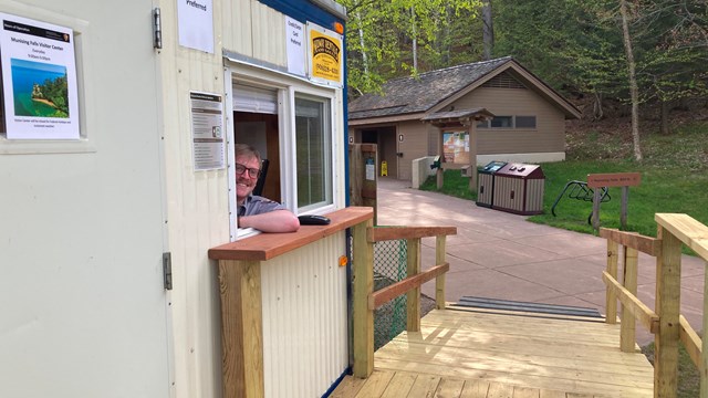
NPS photo Welcome to Pictured Rocks National Lakeshore!Pictured Rocks National Lakeshore, America’s first National Lakeshore, is along the southern shore of Lake Superior in Michigan’s beautiful Upper Peninsula. With stunning beaches, 10 inland lakes, and nearly 100 miles of trails, everyone can find something to enjoy at Pictured Rocks! Buy Your PassA Pictured Rocks pass or America the Beautiful Federal Lands pass is required for each vehicle entering Pictured Rocks National Lakeshore. Prices range from free to $80. You may be eligible for a free pass if you: are an active-duty U.S. military member, veteran, or Gold Star family member; are 62 or older; are a 4th grader; or have a permanent disability.Learn more about fees and passes here. Make Your ReservationsCampingAll camping within Pictured Rocks National Lakeshore is by reservation only and is only permitted in designated sites. There is no drop-in camping or dispersed camping.Pictured Rocks manages 3 drive-in campgrounds - Little Beaver Lake, Twelvemile Beach, and Hurricane River Campgrounds - and 13 backcountry camping areas across the park. Reservations for both drive-in and backcountry camping can be made on recreation.gov. Other LodgingFor other lodging options, we recommend reaching out to the Alger County Chamber of Commerce or the Munising Visitor's Bureau.Shuttle ServicesIf you are backpacking through the park, you may wish to take a shuttle to your starting point. Learn more about shuttle services in the park.
Viewing the Pictured Rocks Cliffs
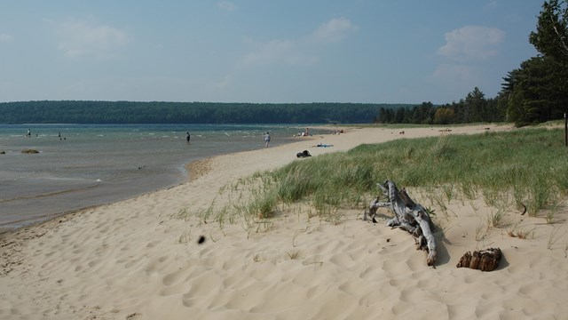
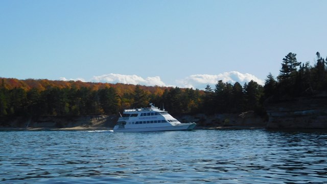
Miners CastleMiners Castle is one of the most famous landmarks along the Pictured Rocks shoreline, and is the only cliff area in the park accessible by vehicle. Chapel LoopThis 10-mile loop winds through hardood forests and traverses over four miles of Pictured Rocks shoreline, providing stunning views of cliffs and rock formations such as Lover's Leap, Chapel Rock, and Grand Portal Point. Review this map before departing. Commercial ToursOne of the best ways to see the Pictured Rocks cliffs is from the water! There are several commercial tours that take you on Lake Superior via boat cruise and kayak. Walks, Hikes, and Other Scenic AreasWaterfallsPictured Rocks is home to many waterfalls, from large, plunging falls like Miners Falls, to small, unnamed trickles. Beaches and LakesSand Point Beach, Miners Beach, and Twelvemile Beach are all favorites among beachgoers. Au Sable Light Station & Other Maritime SitesVisit the Au Sable Light Station for free daily ranger-led climbs throughout the summer. To reach the light station, drive to the Hurricane River day use area. From there, hike the Light Station Trail 1.5 miles to the Light Station grounds. Visit the Au Sable Light Station. Addresses:Munising Falls Visitor Center:1505 Sand Point Road, Munising, MI 49862. Grand Sable Visitor Center:E21090 County Road H-58 (Two miles west of Grand Marais, Michigan) Directions and Getting AroundMapsSafety Reminders
Paddling and Kayaking Safety
Wildlife Safety
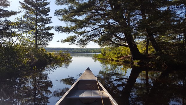
Summer: Plan your route, know your limits, find the right tour for you, and be prepared for bugs! |


Last updated: April 17, 2026