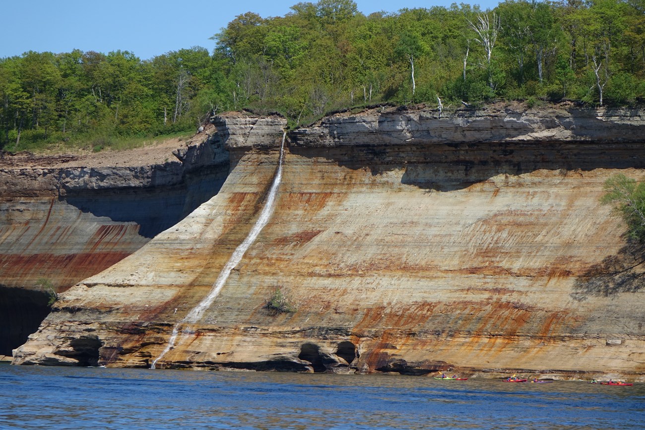
NPS photo Why So Many Waterfalls?Michigan's Upper Peninsula abounds with waterfalls! Many of those found within Pictured Rocks National Lakeshore are the result of water running over a shelf or cliff of hard limey sandstone called the Au Train Formation. This geologic formation resists erosion better than the softer sandstone layers just below it. You can see this vertical layer of hard sandstone at the top of the cliff in the photo above. Main Park Waterfalls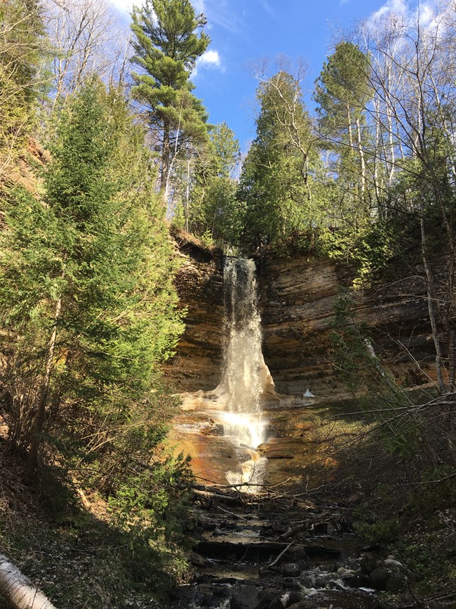
NPS photo Munising FallsLocated within the city limits of Munising where Washington Street becomes Sand Point Road, across from Munising Memorial Hospital.
Walk the paved 800-foot trail up a cool shaded canyon along Munising Creek to the base of the falls. Two sets of stairs lead to platforms for additional views of the 50-foot waterfall as it drops over a sandstone cliff. Watch for ferns, wildflowers, and an occasional mink. Munising Falls is the only waterfall easy to access year-round, as the road and parking lot are plowed all winter. This is a particularly stunning waterfall when frozen in winter. Please stay on the paved trail. Walking into or behind the falls is prohibited. Leashed pets are allowed on the trail and at viewing platforms. 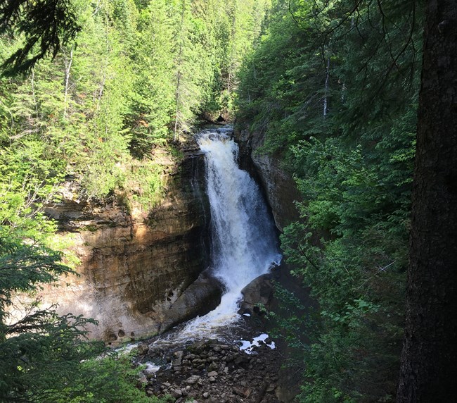
NPS photo Miners FallsThe parking lot is located about 4 miles north of Alger County Road H-58 off Miners Castle Road (H-11). The walk from the parking area to the waterfall is 0.6 miles one way.
A gently rolling gravel and dirt path through the northwoods leads to two waterfall- viewing platforms. Enjoy views of the Miners Basin along the way. The fast-flowing Miners River drops about 50 feet over a sandstone outcrop, creating the park's most powerful waterfall. There are 64 steps down to the lower viewing platform at the falls. This is an especially beautiful trail in the springtime with abundant wildflowers. Leashed pets are allowed on the trail and at viewing platforms. 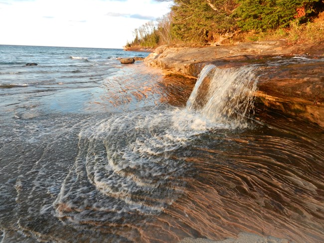
NPS photo Elliot FallsElliot Falls is a small waterfall at the far eastern end of Miners Beach, where the beach meets the cliffs. A short walk from the parking lot at the east end of Miners Beach Road leads to a staircase down to the beach. Elliot Falls is a couple of hundred yards to the right. This picturesque waterfall is surrounded by stunning shoreline and lake scenery, making it a favorite for visitors and photographers. The colors of the area are often spectacular at sunset. Leashed pets allowed.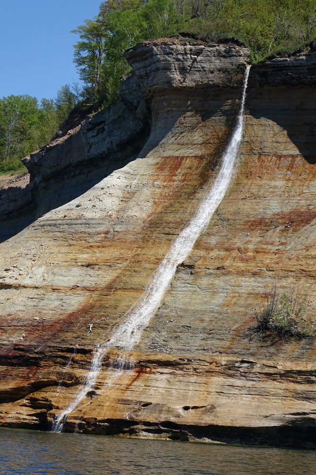
NPS photo Bridalveil FallsLocated about 1/2 mile northeast of Miners Beach along the Pictured Rocks cliffs. 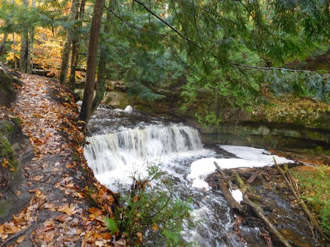
NPS photo Mosquito FallsNote: Road to trailhead parking is primitive, with potholes and washouts. Limited parking available at trailhead lot, which fills quickly in summer. 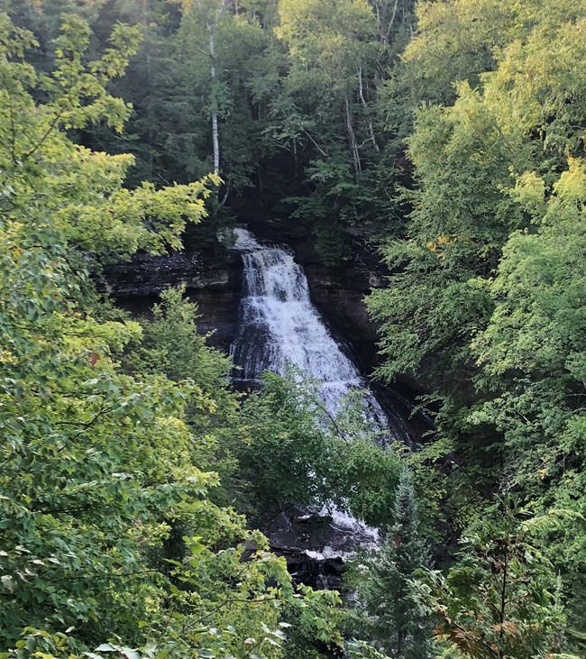
NPS photo Chapel FallsNote: Road to trailhead parking is primitive, with potholes and washouts. Limited parking available at trailhead lot, which fills quickly in summer.Located about 15 miles east of Munising off Alger County Road H-58, then about 5 miles north to the end of Chapel Road. 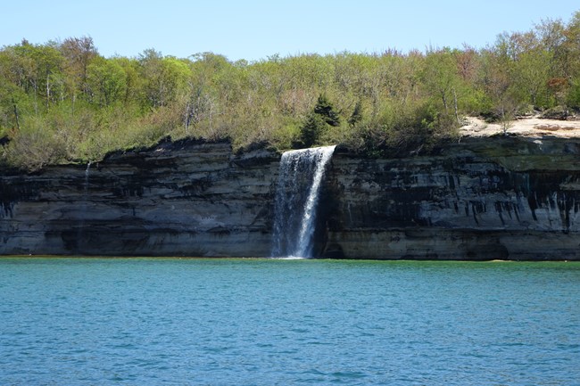
NPS photo Spray FallsLocated along the cliffs about 1.5 miles east of Chapel Rock. Spray Falls plunges about 70 feet over the Pictured Rocks cliffs directly into Lake Superior. To get this view of this waterfall, you will need to take a boat. The park's official concessionaire Pictured Rocks Cruises has boat tours that go to this waterfall. The 1856 shipwreck "Superior" lies at the base of the falls in 20 feet of water. 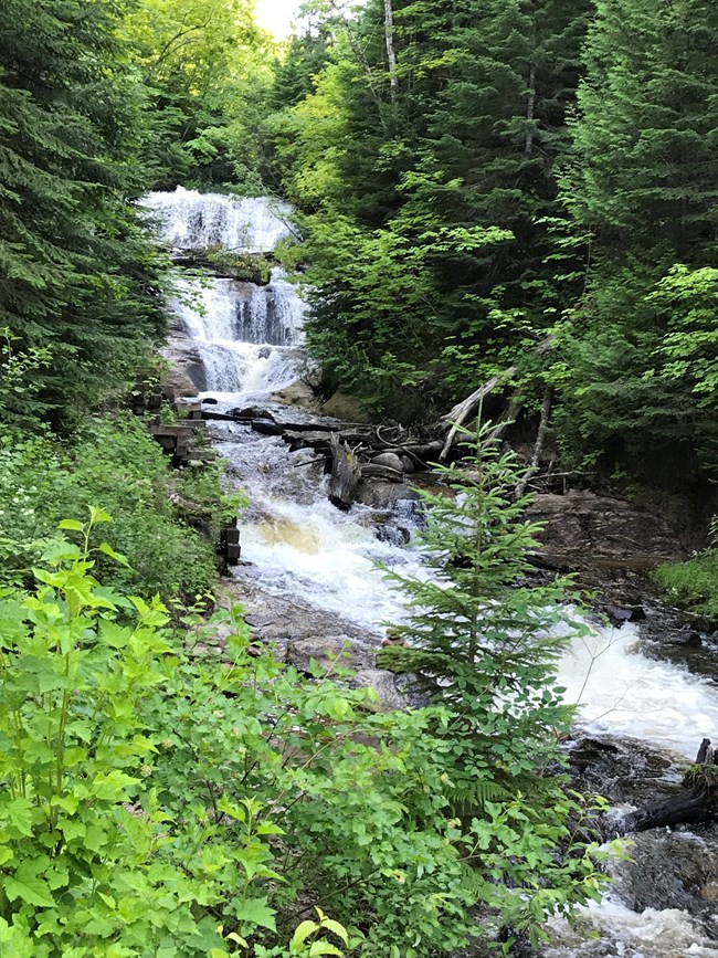
NPS photo Sable FallsLocated about 1 mile west of Grand Marais on Alger County Road H-58.Sable Falls tumbles 75 feet over a cascading slope of Munising and Jacobsville sandstone formations on its way to Lake Superior. The best viewing is from the bottom of a long staircase of 168 steps. The trail from the parking area to this staircase is a short one. The trail continues past the falls for a short walk to a rock/sand beach where Sable Creek flows into Lake Superior and the massive Grand Sable Banks and Dunes loom overhead. Leashed pets allowed on the steps and trail to the falls and out to the beach. Nearby WaterfallsEstimates differ regarding the number of waterfalls in the Upper Peninsula, ranging from 150 to 300. Since waterfalls may be on private as well as public land; please be respectful of the area you are visiting. For information on other area waterfalls, check out the links below or contact one of the local tourist centers. |
Last updated: August 26, 2024
