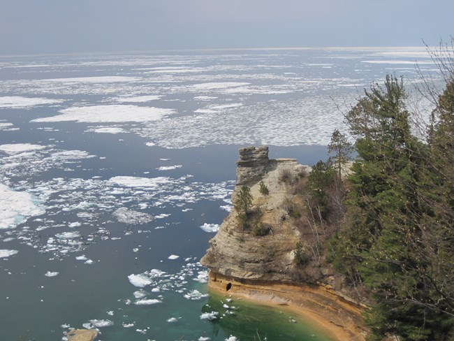
Lake Superior

Open Transcript 

Transcript

10 Awesome Facts About Lake Superior

Transcript:

Hi there! I'm ranger Kristina here on the shore of Lake Superior at Pictured Rocks National Lakeshore.

Today, we'll explore 10 reasons why Lake Superior is superior.

[Waves Crashing]

Lake Superior is the largest body of fresh water in the world by surface area. It's 31,700 square miles or 82,100 kilometers.

That's about the size of the state of Maine.

[Waves Crashing]

If you stretch the coastline out, that would be like me driving this car from Boston, Massachusetts to Denver, Colorado. That's the equivalent of 1,826 miles or 2,938 kilometers.

Let's go for a drive!

[Ascending Xylophone Scale]

[Waves Crashing]

Lake Superior is the third largest lake in the world by volume. It's 2,900 cubic miles or 12,100 cubic kilometers.

That's enough to cover all of North and South America in a foot or about 30 centimeters of water.

[Waves Crashing]

Large waves on Lake Superior are caused by groups of thunderstorms that change wind direction and air pressure around the lake. The tallest wave ever recorded was 28.8 feet or 8.77 meters!

[Waves Crashing]

With waves like that you can imagine there's a lot of shipwrecks.

Lake Superior has claimed a total of 350 ships and only about half have ever been found.

Most shipwrecks can only be viewed by scuba diving or glass bottom boat. But when the water level is low, you can see three on our shores.

When you visit please be sure to leave the remains untouched and take only pictures.

[Waves Crashing]

The retention rate of Lake Superior is 191 years. So that means when I take this cup of water from the lake, I'm holding water that's been in there since before Michigan was even a state!

[Waves Crashing]

Lake Superior is the coldest great lake. Its average temperature is 40 degrees Fahrenheit or 4 degrees Celsius. It can be warmer along the shoreline during the summer.

Which is refreshing on a hot day, but not so great if you fall out of your kayak.

[Waves Crashing]

Lake Superior has been described as the most oligotrophic lake in the world because it's so nutrient poor.

It still has plenty of nutrients to support the plants and animals that live in it though.

This lack of nutrients keeps the water as clear as you see it here.

[Underwater Sounds]

[Waves Crashing]

The Ojibwe people are Native Americans who have lived in the Great Lakes basin since before the time of European settlement. In their language Lake Superior is "Gichigami", which translates to big water.

[Waves Crashing]

Lake Superior contains 10% of all of Earth's fresh water. If these 10 jars here, full of water represented

all of the fresh water on earth.

Then one full one, like this one here, would represent Lake Superior.

[Waves Crashing]

Now you might be thinking Lake Superior is called that because it's better than all the other lakes.

But actually, it's called superior because it's more north, or above the other Great Lakes.

And now you know why Lake Superior, is called superior.

The Great Lakes especially Lake Superior, are a dynamic environment.

The landscape and shore change daily. You never know what you may find, which is what keeps people coming back to Pictured Rocks National Lakeshore year after year.

What will you find on our shores or at our park?

For more information visit: www.nps.gov/piro.

See you soon!

Visit our keyboard shortcuts docs for details
Duration:
4 minutes, 40 seconds

Join Ranger Kristina to explore Lake Superior at Pictured Rocks National Lakeshore. Great for all ages and anyone who is interested in Lake Superior.

 
(To view more videos about the park, check out our YouTube Channel!)
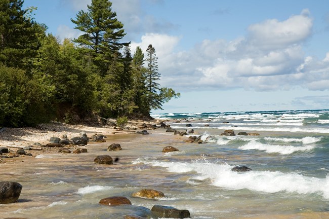
 
Waves come ashore on the beach
Lake Superior continually shapes the Pictured Rocks shoreline.

NPS photo

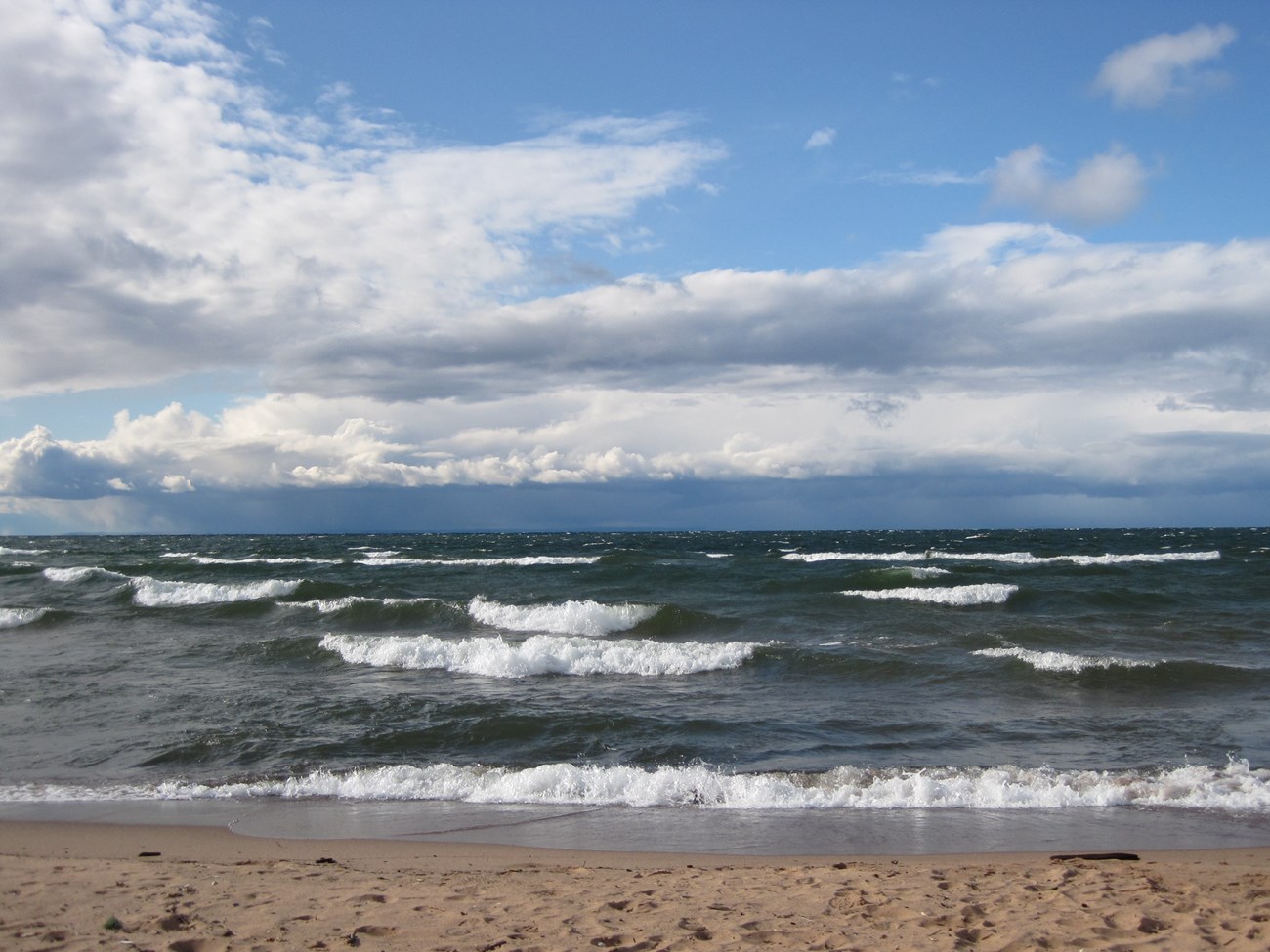
"Lake Superior possesses all the sublimity of the ocean. In gazing upon its surface, whether stretched out like a vast mirror, reflecting the varying tints of the sky, or ruffled by gently–curling waves, or lashed by the fury of the storm, the beholder is alike impressed with a feeling of the grand and the infinite."
- J.W. Foster and J.D. Whitney, geologists, 1850.

Lake Superior is the dominant force affecting Pictured Rocks National Lakeshore. This powerful inland "sea" creates its own weather and climate, resulting in cooler temperatures in the summer and milder temperatures in the winter. Waves continually sculpt the cliffs and reshape beaches, but the effect of Lake Superior is also felt far from shore. Storms, snow, fog, humidity, temperatures, and wind generated from the lake impact every park ecosystem.

Lake Superior is the largest, coldest, and most pristine of the Great Lakes. It has the largest surface of any freshwater lake on earth and it is the third largest lake by volume. Its striking clarity is due to a low amount of organic material. Lake Superior is oligotrophic, meaning it is nutrient poor. The surrounding forests and rock layers filter water entering the lake, which limits the amounts of phosphorus and various biological nutrients needed for algae and other plant growth. Despite this, the lake supports a healthy ecosystem of plankton, invertebrates, and cold water fish.

 
Waves coming ashore on a sandy beach
Lake Superior

NPS photo

Some Lake Facts
⋅ Surface Area:
31,700 mi2 (82,100 km2)
⋅ Volume: About 3 quadrillion gallons (3 followed by 15 zeros)
⋅ Length: 350 mi (560 km)
⋅ Width: 160 mi (260 km)
⋅ Average Depth: 483 ft (147m)
⋅ Maximum Depth:
1,332 ft (406 m)
⋅ Water Temperature: 45 degrees (F) average
⋅ Geology: the youngest Great Lake, forming through several stages between 10,000 and 7,500 years ago


Lake Dynamics
The lake doesn't have true tides but it does exhibit an interesting movement of water called a seiche (SAY-sh). A seiche is a stationary or standing wave that oscillates back and forth like a pendulum in an enclosed body of water. Seiches are typically caused when strong winds and rapid changes in atmospheric pressure pile up water on one end of a lake. When the wind stops, the water rebounds to the other side, often causing water levels to rise quite quickly. (Striking video footage shows a seiche in action along Superior's Ontario shore.)

Small seiches are quite common and usually unnoticeable. Larger seiches can resemble storm surges that flood beaches and inundate boat docks. Generally seiches take about eight hours to cross the lake and come back again, sometimes resulting in changes in nearshore waters as much as three feet or more. Recent studies show that seiches are an important mechanism for distributing nutrients from deeper water into the sunlit surface levels where they are needed for phytoplankton growth.

Another important dynamic of Lake Superior is stratification, or layer formation. All lakes, large and small, undergo this process in some fashion. Water tends to separate into horizontal (and sometimes vertical) density layers that resist mixing. Density is related to temperature, so that when summer heat warms the upper layers of the lake, the lower colder layers are denser in comparison. In winter, the coldest layer (ice) lays above slight warmer layers beneath.

As the lake loses heat in late fall, the surface waters cool and the density between layers becomes increasingly similar. When the density is similar enough, a windstorm can mix the entire lake, an event called lake turnover. The same process happens in the spring as the water heats up. Turnover is extremely important for distributing nutrients and oxygen throughout all parts of the lake.

 
Ice on Lake Superior in early June 2014
Ice can last on Lake Superior until the end of May or even early June. (Photo taken June 1, 2014)

NPS photo / Andrea Chynoweth

Impacts on Pictured Rocks National Lakeshore
Lake Superior affects Pictured Rocks in many different ways. Cool temperatures and moisture generated by the lake create microhabitats that support plants generally found farther north. Fog and mist promote growth of moss and lichens on the cliffs. Continual moisture reduces the risk of forest fire. Windstorms blow down trees close to shore, affecting forest structure. Currents carry sand that reshape spits and beaches. Lake levels may change as much as a foot from one year to the next, which can swallow up beaches and cause more rock erosion when levels are high.

Lake effect snow has a great impact, favoring some wildlife species and making survival harder for others. Large snow drifts shelter smaller animals like mice while making it more difficult for deer and larger mammals to travel through. Deep snows protect certain plant species and replenish groundwater supplies. Cool summers reduce evaporation in the shallow wetlands that form when snow melts, thus allowing greater numbers of mosquitoes to hatch.

Although Lake Superior has little visible pollution, chemical contaminants such as mercury and PCBs are present. The primary source for these and other pollutants is atmospheric deposition. Non-native species are also of concern. Invasive fish, particularly sea lampreys, can be found in nearshore waters. Sea lampreys swim up rivers to spawn, and visitors report seeing young lampreys near the mouths of rivers and streams in the park. So far zebra and quagga mussels have not had a major impact on Lake Superior, as the lake is too cold and oligotrophic (nutrient-poor) for them to thrive.

Lake Mapping
Pictured Rocks National Lakeshore has been part of a multi-year project to map a portion of Lake Superior's bottom topography. This fascinating project will help park managers understand more about lake dynamics and how currents, sediments, and energy flow interact with each other.

 
Lake Superior Shore Viewer clickable map
Lake Superior Shoreviewer
Lake Superior ShoreViewer
Are you planning a summer kayak trip on the shores of Lake Superior? Ever wondered what the mouth of the Hurricane River looks like?

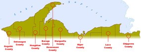
The Superior Watershed Partnership website hosts the Lake Superior ShoreViewer. The ShoreViewer covers every Upper Peninsula coastal county (9) and township (32) bordering Lake Superior. It offers user-friendly advantages such as easy-to-recognize birds-eye oblique photography. It also provides detailed planning information including soils, elevation, slope, cover types, U.S. Geological Survey quad maps, color infrared photography and wetland data.
 

Last updated: August 17, 2020

Park footer

Contact Info

Mailing Address:

P.O. Box 40
Munising, MI 49862

Phone:

906-387-3700
Munising Falls Visitor Center

Contact Us