|
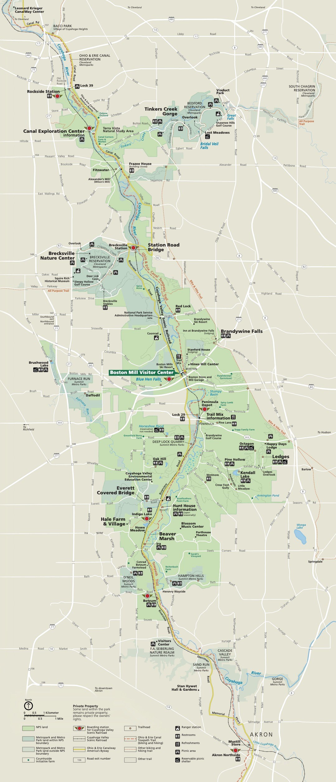
Use these maps to locate our visitor center, trailheads, trail routes, and other points of interest. Printed versions of most maps are available at Boston Mill Visitor Center or you can contact us to request a mailed copy. Additional formats of some maps are available on a separate cartography website. We recommend downloading the NPS App for access to the interactive map and other park information on the go. Note: To save a map from this page, right-click the image and select "Save image as..." to download it to your device. 
Trail Maps
Find maps of individual trails and specific areas of the park. 
Driving Map
Find a map of common park destinations listed with their addresses. Cuyahoga Valley Interactive MapThe map shows our visitor center and other attractions, including:
Cuyahoga Valley National Park Map
This park map appears on one side of our park brochure. For the full audio description of the map visit our Park Brochure Formats page. 
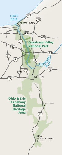
Cuyahoga Valley National Park Area MapShown in dark green on this map, Cuyahoga Valley National Park is around 22 miles south of Cleveland and Lake Erie. The Boston Mill Visitor Center is around 18 miles north of Akron. The park can be accessed from several nearby highways, visit our Directions page for more information. |
Last updated: April 8, 2025
