News Release

NPS Photo
|
Subscribe
|
Contact: Molly Schroer, 270-758-2192
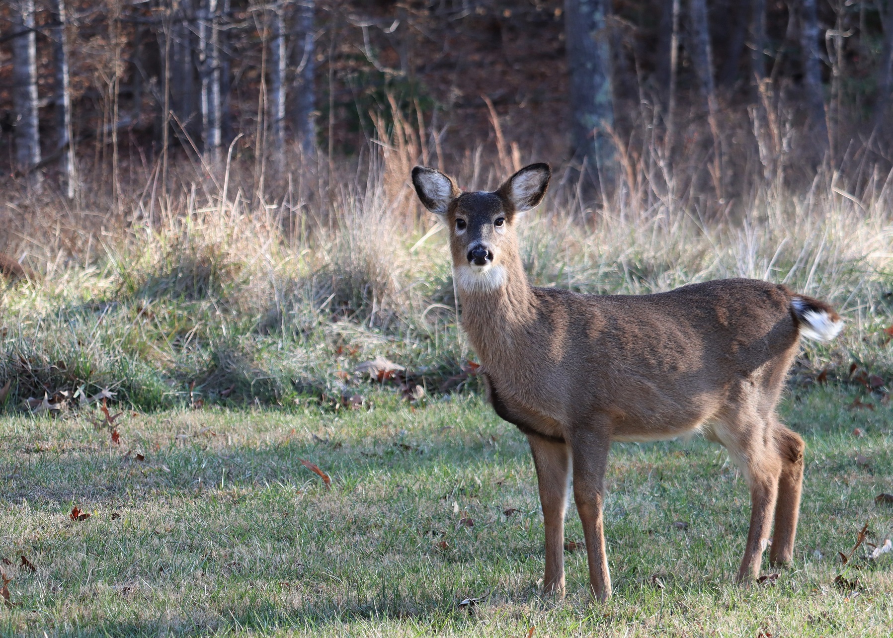
An aerial population study of white-tailed deer residing inside the boundaries of Mammoth Cave National Park will take place in the early morning hours on Sunday, February 19. The study is scheduled to begin after midnight and will provide a baseline population census of white-tailed deer inside the park. People living in proximity of the park’s boundary might notice comparatively low-flying aircraft during the study period.
The research survey is being conducted with infrared technology and related hardware and software to obtain images of deer from altitudes over 1,000 feet. The study will utilize state-of-the-art multi-sensor imaging systems mounted on light, fixed-wing aircraft specifically designed for aerial survey operations. The aircraft will fly in a grid pattern which enables researchers to obtain images of deer from virtually all land areas within the park. Survey flights will be conducted during the early morning when deer activity is expected to be at its peak. Flights will begin approximately one hour before sunrise and will terminate approximately two hours after sunrise.
The research data from the survey will provide a “snapshot” of the total number of deer present in the park, their locations, and how they are distributed and grouped throughout the park. This information is useful to park managers who monitor the health and status of the park’s white-tailed deer population.
Mammoth Cave National Park’s Division of Science and Resources Management will oversee the project being conducted by Owyhee Air Research, LLC, a private company headquartered in Nampa, Idaho, who specializes in aerial wildlife imagery. The flight is weather dependent and may be changed to an alternate day later in the week of February 19 if conditions warrant.
Visit the park’s website for more information about Mammoth Cave National Park, Park Wildlife, and ongoing Science and Research projects.
Last updated: February 16, 2023
