
With over 700 miles of trails in Glacier providing outstanding opportunities for both short hikes and extended backpacking trips, there’s something for everyone.Hikers need to assume individual responsibility for planning their trips, staying safe, and reducing their impact on the park. Plan ahead and check out our Leave No Trace page to learn more.The links below provide individual area maps that include lists of recommended day hikes, including distances and elevation gain. There is no cell phone coverage outside of Apgar and St. Mary, so take screen shots and plan ahead.
Trails, wilderness campgrounds, and other areas of the park that have closures, or are posted for safety reasons, are listed on our Trail and Area Closure page. The reports are updated each morning. Trail conditions and statuses change frequently. To be the first to know, sign up for Glacier National Park Notifications. Text GNPTRAILS to 333111. You'll receive live updates and be the first to know trail closures and postings! Early in the summer, lower elevation trails and trails near the boundary of the park are usually snow free. Trails in the higher elevations – over mountain passes and on the Continental Divide – are typically snow free by late July. In the wilderness, little mistakes can quickly become big emergencies. Follow our advice to stay safe and be prepared:
Some self-guided walks interpret trailside features with signs. The Trail of the Cedars, Forest and Fire, Hidden Lake, Running Eagle Falls, and Swiftcurrent Nature Trails encourage hikers to experience the park at their own pace.
The Trail of the Cedars and Running Eagle Falls trails are wheelchair accessible. Hiking alone is not recommended and there are opportunities to join groups if you would like.
Hikers planning to camp in Glacier's backcountry must stop at the Apgar Wilderness Permit Center, St. Mary Visitor Center, or other ranger stations to obtain a wilderness camping permit. Visit our Wilderness Camping page for in-depth information.
Flickr photo albums offer previews of some popular hikes.
Visitor center bookstores carry a complete line of trail guides, topographic maps, and field guides. Publications are also available by mail. Visit the Glacier National Park Conservancy online store for available maps and guides 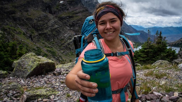
Ten Essentials
Heading out to a national park? Make sure you pack the 10 Essentials! 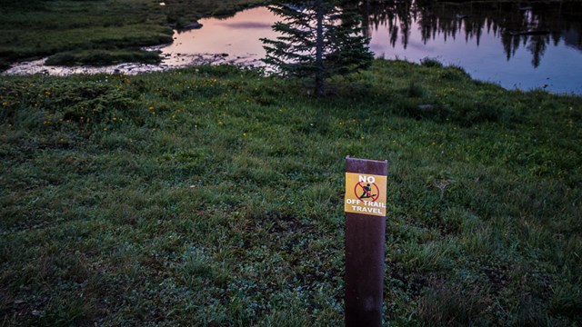
Leave No Trace
This is not a black and white list of rules or regulations. Rather, it is a way of thinking, an attitude, and an ethic. 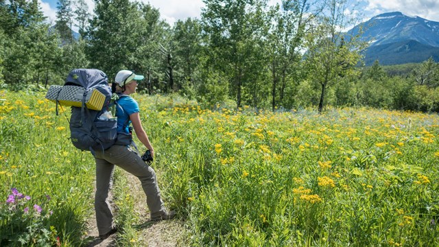
Wilderness Camping
Glacier's backcountry camping program is designed to minimize resource impacts while providing positive visitor experiences. 
Sustainability
Glacier's goal is to be a leader in understanding, communicating, and responding to the consequences of climate change. 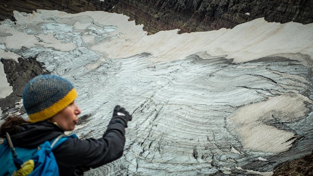
Overview of the Park's Glaciers
Here are the most frequently asked questions about how the park's glaciers are responding to climate change. 
Climate Change
Glacier National Park is warming at nearly two times the global average and the impacts are already being felt by park visitors. |
Last updated: February 6, 2025