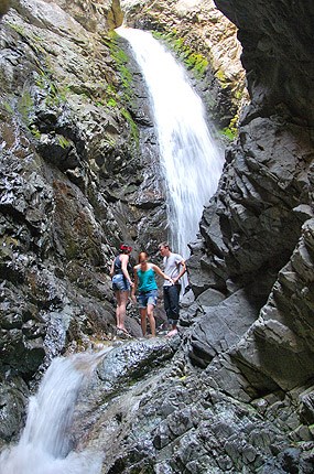
NPS/Patrick Myers Zapata FallsThis popular short hike is located on BLM (US Bureau of Land Management) land south of the national park, off of Highway 150. It is a good option for summer afternoons when sand surface temperatures are high. Simply driving to the trailhead provides an excellent view of the entire dunefield and San Luis Valley. However, the hike to the falls requires wading over slippery rocks into a rock crevasse. From the Visitor Center, drive south 8 miles, then turn left (east) onto a rough dirt road marked by a large sign. Drive 3.5 miles to the trailhead. To view the falls, hike 1/2 mile, and wade into a crevasse where the 30 ft. high falls cascade onto a ledge. Caution: Rocks are slippery. Water may be deep and swift in early summer during snowmelt, or during heavy thunderstorms. Rarely, rocks may fall from above into the crevasse. In winter, the falls freeze, creating an icy sculpture. Ice and snow may make the hike very slippery. Falling ice may be a hazard in spring. Near the trailhead is Zapata Falls Campground, a primitive campground open year-round. Contact: Bureau of Land Management, 1803 West Highway 160, Monte Vista, CO 81144, 719-852-7074. 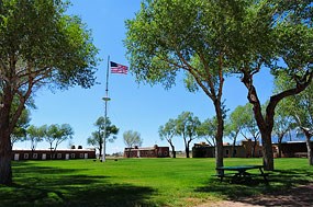
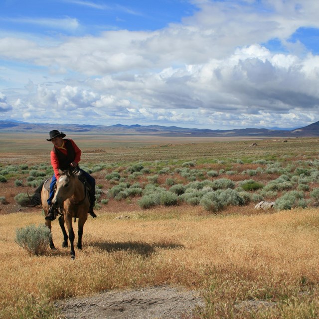
NPS/Patrick Myers Fort Garland Museum and Cultural CenterAdobe buildings have been restored to their original 19th century appearance at this nationally significant historic site in the town of Fort Garland, Colorado, on US Highway 160. Dioramas, exhibits, and scheduled living history events make this a good place for all ages to learn about this era. Browse Fort Garland's website for details, and view photos of Fort Garland and its living history events on Flickr. 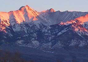
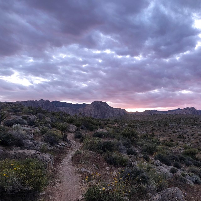
NPS/Patrick Myers US Forest Service Lands, Sangre de Cristo MountainsGreat Sand Dunes National Park and Preserve are surrounded on the north, south, and east by lands managed by the US Forest Service, including the Rio Grande National Forest (west side of the Sangre de Cristos) and the San Isabel National Forest (east side of the Sangre de Cristos). Eight 14,000' peaks and many other peaks, valleys, alpine lakes and streams are found within these two national forests. 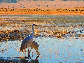
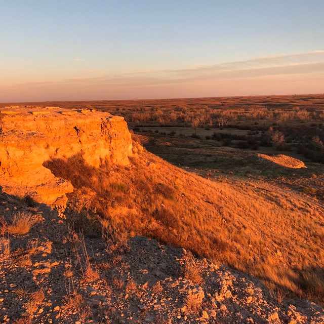
NPS/Patrick Myers San Luis Lakes State Wildlife AreaSan Luis Lakes State Wildlife Area protects a wetland complex adjacent to Great Sand Dunes National Park. Birdwatching and photography are primary activities here, although hunting is permitted in season. As with most protected wetlands, this wildlife area is closed to the public for shore bird nesting from February 15 - July 15 each year. 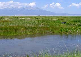
NPS/Scott Hansen National Wildlife RefugesBecause of its many wetlands and strategic location for many unusual migratory birds, the San Luis Valley is home to three national wildlife refuges. Baca NWR was created in 2004 as part of the expansion of Great Sand Dunes National Monument into a national park and preserve, protecting the entire natural hydrological system of the Great Sand Dunes. It is adjacent to the national park on the western boundary. Alamosa NWR is located a few miles southeast of Alamosa, Colorado. It features wetlands along the Rio Grande River. Monte Vista NWR is south of Monte Vista, Colorado. This refuge contains many restored or enhanced wetlands associated with agricultural lands. It is one of the hotspots in the valley to view thousands of sandhill cranes each spring and fall. 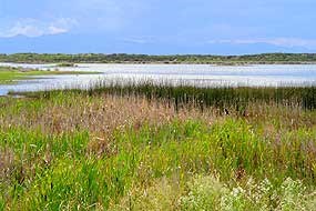
NPS/Scott Hansen Other Wetland Areas in the San Luis ValleyBlanca Wetlands, Alamosa Open Space Wetlands, Russell Lakes SWA, and others are are described on the Grasslands, Shrublands, and Wetlands page on this site. 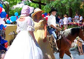
NPS Photo Alamosa County and Saguache CountyGreat Sand Dunes National Park and Preserve is situated in Saguache County and Alamosa County. The closest town to the park and its mailing address is Mosca, Colorado. From western pioneer festivals and parades to American Indian dances and Hispanic heritage events, the San Luis Valley has a diverse heritage and an eclectic ambiance that is reflected in its architecture, art, and cuisine. Follow the links above to official tourist information pages for details on cultural and other attractions in these counties. 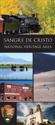
Sangre de Cristo National Heritage Area Sangre de Cristo National Heritage AreaThe mission of the Sangre de Cristo National Heritage Area is to promote, preserve, protect,and interpret its profound historical, religious, environmental, geographic, geologic, cultural, and linguistic resources. These efforts will contribute to the overall national story, engender a spirit of pride and self-reliance, and create a legacy in the Colorado counties of Alamosa, Conejos and Costilla.works to preserve the diverse cultural heritage of the San Luis Valley. National Heritage Areas are places where historic, cultural, and natural resources combine to form cohesive, nationally important landscapes. A National Heritage Area is designated by Congress and intended to encourage historic preservation and an appreciation of the history and heritage of the area. To become designated, the landscape must be a nationally unique natural, cultural, historical or scenic resource and it must be significant to the national story of the greater United States. 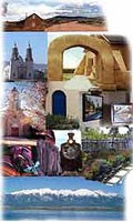
Photo collage courtesy of Los Caminos Antiguos Scenic and Historic Byway Los Caminos Antiguos Scenic and Historic BywayPart of the national system of scenic and historic byways, Los Caminos Antiguos gives the traveler a taste of the diverse cultural and natural resources of the San Luis Valley. From historic adobe churches in the southern part of the valley, to a US military fort, to an organic quinoa farm near Mosca, the valley's rich heritage comes to life. The route goes from Cumbres Pass in the San Juan Mountains, through the southern part of the valley, past the Great Sand Dunes, west past San Luis Lakes to Highway 17, and finally south to Alamosa. Travel either direction on the byway and any part of it. Distinctive signs along the route interpret many natural and cultural points of interest. Restaurants, shops, museums, and historic sites on the byway also provide resources for travelers. Other National Park Service Sites in Colorado |
Last updated: May 1, 2025


