An official website of the United States government
Here's how you know
Official websites use .gov A
.gov website belongs to an official government
organization in the United States.
Secure .gov websites use HTTPS A
lock (
) or https:// means you've safely connected to
the .gov website. Share sensitive information only on official,
secure websites.
A map of New Mexico displaying an impressive number of volcanic NPS sites.
NPS
New Mexico boasts one of the greatest concentrations of young, uneroded volcanoes in North America. The dry climate helps to slow the process of erosion, giving scientists and visitors the chance to see some outstanding volcanic features. Many of the National Park Service sites in New Mexico are dedicated to preserving these volcanic features and the cultural connections that tie them to humankind. Valles Caldera is one such site.
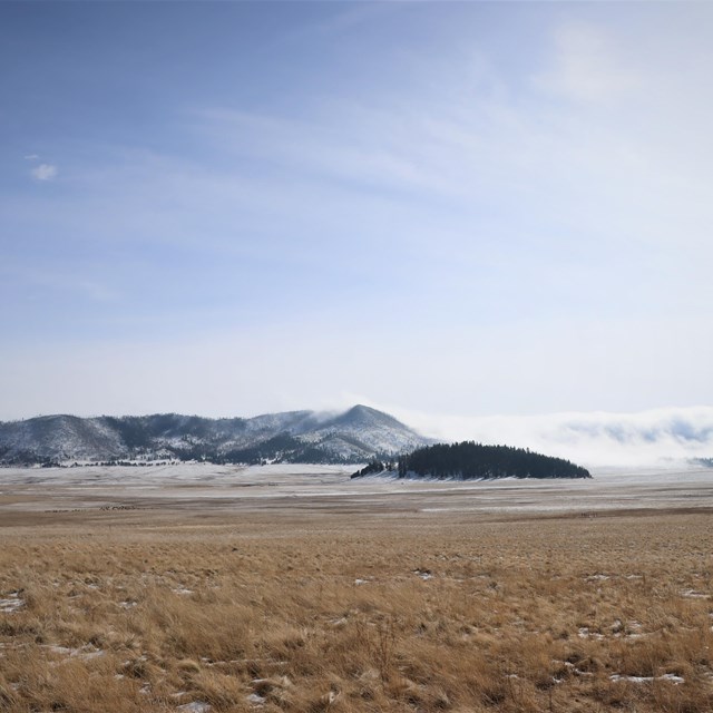
Valles Caldera National Preserve is located in the Jemez volcanic field at the intersection of two major fault systems, the Rio Grande Rift and the Jemez Lineament. The rift, a stretching and thinning area of the earth’s crust, extends from central Colorado to the state of Chihuahua, Mexico, and the lineament, a chain of volcanic fields, spans from east-central Arizona to the Raton-Clayton volcanic field in northeastern New Mexico.
The Jemez volcanic field started forming more than 14 million years ago with a series of eruptions, including at least two especially explosive events. The most recent event (about 1.2 million years ago) formed Valles Caldera. Following the eruption, the surrounding earth collapsed into the volcano's drained magma chamber, forming the broad, 12- to 15-mile-wide circular caldera you can visit today.
Since that time, an additional 15 eruptions have created the volcanic domes, or cerros, within the caldera, including the major central resurgent dome, Redondo Peak, which serves as the type locality (or model) for understanding caldera resurgence worldwide. Since the caldera-forming eruption 1.2 million years ago, these subsequent eruptions have happened every 80,000-100,000 years.
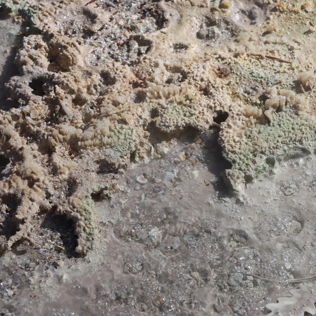
Today, Valles Caldera is dormant, but not extinct, and still displays signs of volcanic life with hot springs and boiling sulphuric acid fumaroles. If the volcano reawakened, there would be clues. Small earthquakes would take place as magma started moving around underground. If magma began rising closer to the surface, it might push the ground up and deform it. Highly sensitive instruments, like the seismometers on San Antonio Mountain and Cerros del Abrigo, could measure even the slightest changes. As time progressed, cracks would open, and some of them might emit ashes and gas. The warm and hot springs across the Jemez Mountains would get hotter, and we might even see the creation of geysers.
Scientists from Los Alamos National Laboratory monitor Valles Caldera's seismic activity very closely, and for right now, they claim that it is “remarkably quiet."
The processes that created Valles Caldera, including volcanic eruption, collapse, and resurgence.