An official website of the United States government
Here's how you know
Official websites use .gov A
.gov website belongs to an official government
organization in the United States.
Secure .gov websites use HTTPS A
lock (
) or https:// means you've safely connected to
the .gov website. Share sensitive information only on official,
secure websites.
Please remember, pets are not permitted on any trails in the park, except for the paved Oasis of Mara Trail. For more information, visit Pets.
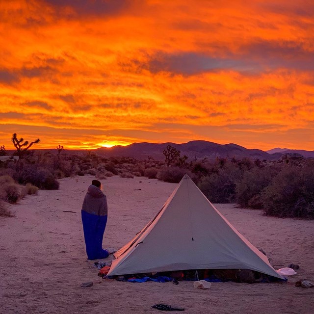
Many visitors use hiking apps with crowd-generated information. Please know that apps and blogs can give misleading or false information. They can incorrectly label the difficulty level or present user-generated routes as "trails." These routes are often not designated trails, can involve rock scrambling in remote areas, and require advanced route-finding and off-trail navigation skills. This has led to search and rescue calls involving lost or injured hikers. Please view the hiking trail information on this page as your most accurate source of information. For free offline maps and and additional information on our designated trails, download the NPS app.
Leave information about your planned route and expected return time with a friend or family member before hiking. Check in with this person when you return. In an emergency, call 909-383-5651 or 911.
The Paul Miller Story
Paul Miller, from Ontario, Canada, planned to hike the 49 Palms Oasis Trail and return to his wife, Stephanie, at their hotel on July 13, 2018. He never returned.
The park launched a large search and rescue effort, but found no clues. As an avid hiker and photographer, Paul prepared well for this 3-mile roundtrip hike. Search and Rescue teams found Paul’s remains near boulders off trail December 20, 2019. Even the most prepared hikers can run into trouble and not make it back.
Honor Paul’s memory by following the below safety tips.
Safety Tips
Tell someone where you are going and when you plan to be back
Bring plenty of food and water—even on short hikes
Don’t force fluids—drink when you are thirsty
Eat often—salty snacks are key for salt loss from sweating
Rest in the shade
Plan ahead and avoid hiking between 10am and 5pm during the summer
20 miles (32 km) north of Cottonwood Visitor Center
0.25 mile (0.4 km)
10 feet (3 m)
15–30 minutes
Closed December 2024-March 2025 for maintenance.
Loop. View thousands of densely concentrated, naturally growing cholla cactus. Stay on the trail, wear closed-toe shoes, and be aware of prickly cactus.
Loop. Hike a steep ridge on the western side of the park and take in panoramic views. View Joshua trees! There are some steep sections, as well as a several benches to take a break and enjoy the view.
Lost Horse Mine
Lost Horse Mine trailhead off Keys View Road
4 miles (6.4 km)
550 feet (168 m)
2–3 hours
Out and back. Explore around one of the most successful gold mines in the park. Stay outside the fenced area to protect the millsite and mine. For a longer option, see Lost Horse Loop, under Challenging Hikes. Elevation change is 550 feet.
Mastodon Peak
Cottonwood Spring parking area
3 miles (4.8 km)
375 feet (115 m)
1.5–2.5 hours
Loop. An optional rock scramble takes you to the top of a craggy granite peak. The trail then loops around past an old gold mine. Elevation change is about 375 feet.
Pine City
Pine City trailhead at end of Desert Queen Mine Road
4 miles (6.4 km)
2–3 hours
Out and back. The highlight of this fairly flat trail is a dense stand of junipers and pinyon. The trail also goes to an old mining site.
Loop. Hike ridges and washes with views of Joshua trees and mountains.
Strenuous Hikes - Do Not Attempt in the Heat
The following trails should not be attempted during the summer or whenever it is hot out, because they are extremely dangerous due to sun exposure, temperatures, and dehydration risks. Every year visitors have to be rescued and sometimes perish on these hikes.
Trail
Trailhead Location
Distance
Elevation
Estimated Time
Description
Boy Scout Trail
North end: Indian Cove backcountry board. South end: Boy Scout Trailhead.
8 miles (12.9 km)
1190 feet (362.7 m)
6 hours
One way. Go deep into the Wonderland of Rocks. Stay on trail to avoid getting lost among the boulders. Most hikers prefer to start at the south trailhead, inside the West Entrance, and finish at Indian Cove. Vehicle shuttle strongly recommended for hikers interested in doing the full length the trail.
California Riding and Hiking Trail
Several
36.6 miles (58.9 km)
2–3 days to hike entire length
One way. Shorter hikes possible on sections of this long trail. Travel from Black Rock Canyon to the North Entrance of the park, passing through a variety of Mojave Desert landscapes.
Fortynine Palms Oasis
Fortynine Palms parking area, accessed off Highway 62.
3 miles (4.8 km)
300 feet (91 m)
2–3 hours
Out and back. There is a 300 foot (91 m) elevation gain in both directions, as you hike up and over a ridge dotted with barrel cactus. Beyond the ridge, descend to a fan palm oasis in a rocky canyon. Avoid this trail when it's hot out.
Lost Horse Loop
Lost Horse Mine trailhead off Keys View Road
6.5 miles (10.5 km)
550 feet (167.64 m)
3–4 hours
Loop. For a shorter option, see Lost Horse Mine, under Moderate Hikes.
Lost Palms Oasis
Cottonwood Spring parking area
7.5 miles (12 km)
500 feet (152 m)
5–6 hours
Out and back. Enjoy sandy washes and rolling terrain, then hike down into a canyon to explore a remote fan palm oasis. Climbing back out the canyon is strenuous.
Loop. Hike up a sandy wash, then follow the ridgeline of the Little San Bernardino Mountains. Enjoy scenic views, dense Joshua tree forest, and pinyon-juniper woodland.
Ryan Mountain
Parking area between Sheep Pass and Ryan Campground
3 miles (4.8 km)
1,050 feet (320 m)
1.5–2.5 hours
Out and back. Hike to the summit of Ryan Mountain. This is one of the most popular hikes in the park.
Out and back. Hike to the summit of Warren Peak to enjoy panoramic views of the quiet western part of Joshua Tree National Park.
Willow Hole
Boy Scout Trailhead - south end inside the park
7.2 miles (11.5 km)
4 hours
Out and back. Mostly flat trail along the edge of the Wonderland of Rocks. Travel through Joshua tree forests, boulder landscape, and sandy washes. Trail ends at willow trees.
Last updated: December 15, 2025
Park footer
Contact Info
Mailing Address:
74485 National Park Drive
Twentynine Palms,
CA
92277-3597