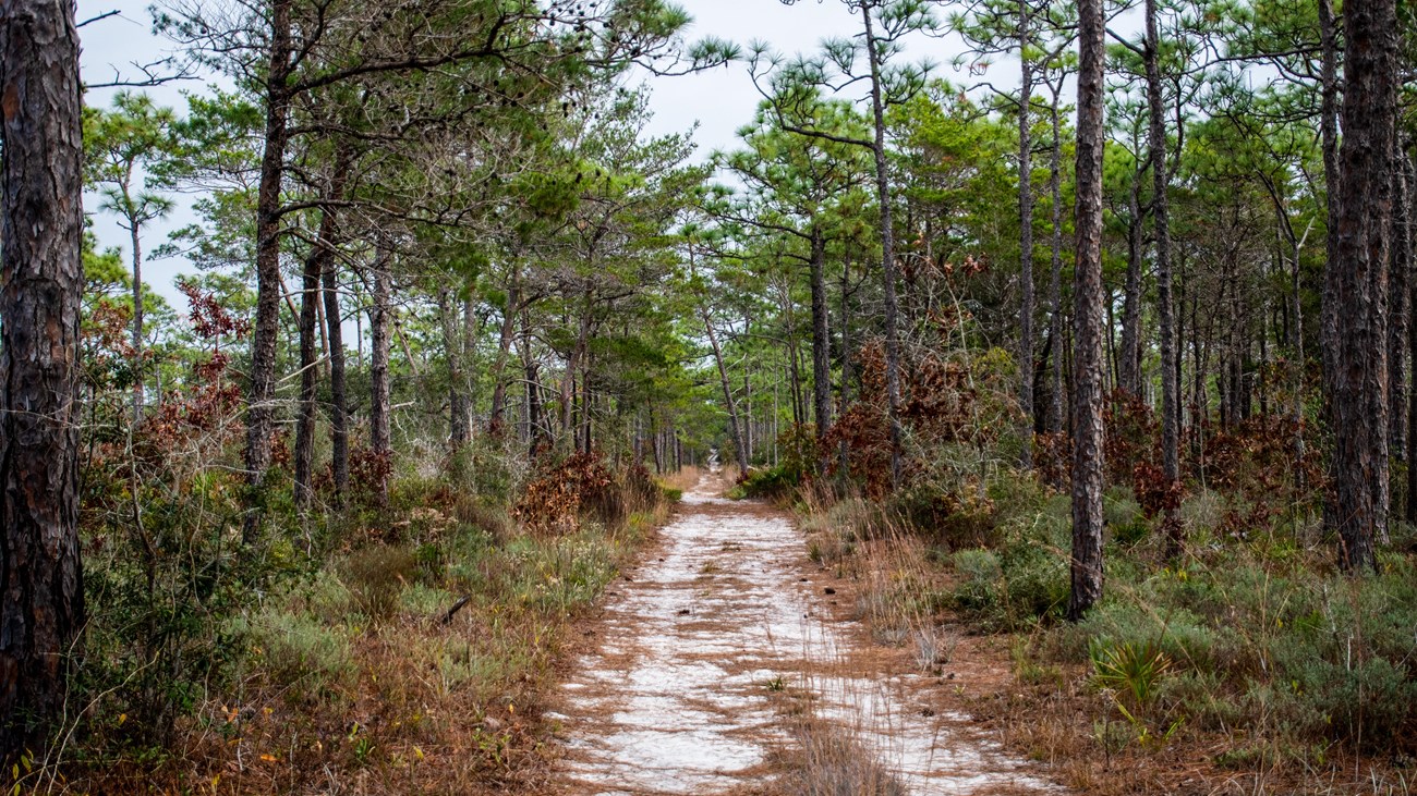
Naval Live Oaks Trails
Over seven miles of trails will take you down to the bay, through the pines, or onto an elevated footpath in Naval Live Oaks. 
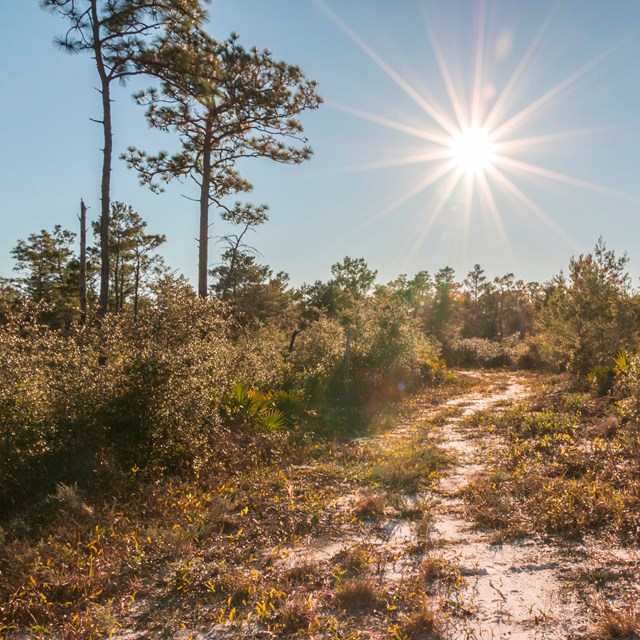
Perdido Key Trails
Discover coastal vegetation in a scenic beach environment. 
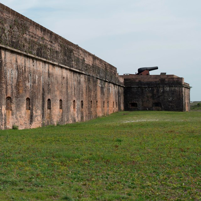
Fort Pickens Trails
Take a walk down to the bay, discover historical structures, or hike the northern terminus of the Florida National Scenic Trail. 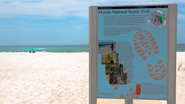
Santa Rosa Trails
Discover the only beach bound section of the Florida National Scenic Trail. 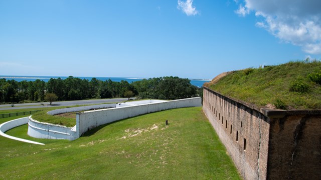
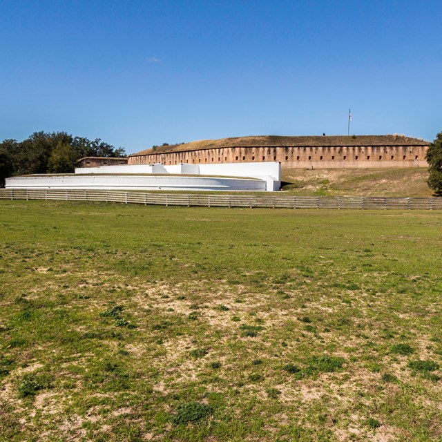
Fort Barrancas Trails
Hike through history on the trails at Fort Barrancas. Plan Your Hike
|


Last updated: April 21, 2025