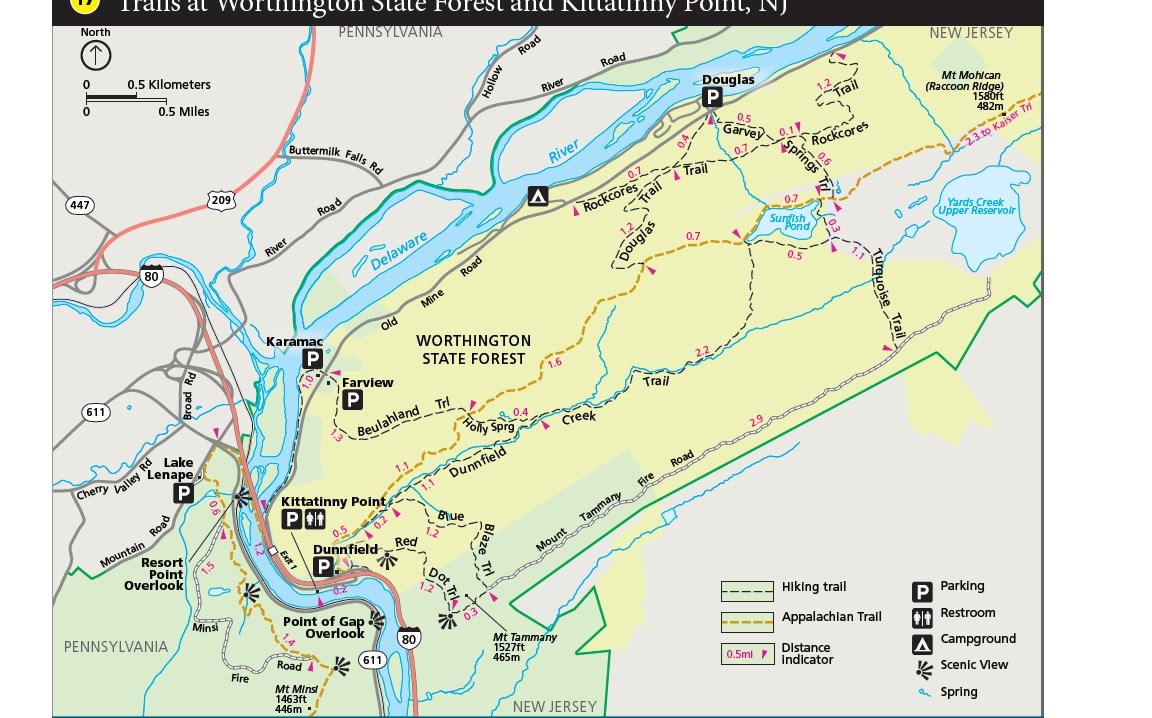
NPS Map Length: 1.2 miles, one-way The trail follows an old road trace. This road was originally created to provide access for engineers to take rock core samples. These samples helped determine whether the area could sustain a large dam across the river at Tocks Island. Remnants of the rock cores are still seen along the trail. Over twenty miles of trail can be connected together in the Worthington State Forest area to fill the entire day. Other Information: restroom located in Worthington State Forest picnic area; more information about Worthington State Forest Other trails in Worthington State Forest: |
Last updated: January 2, 2025
