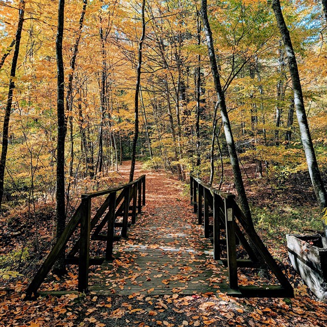
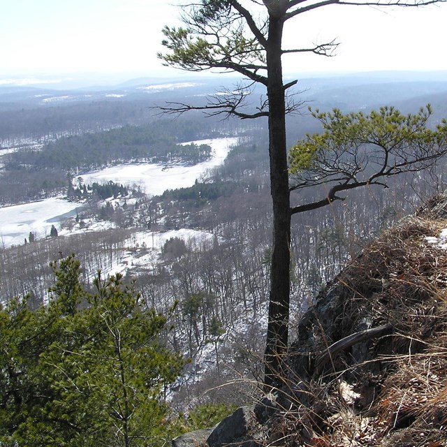
![]() NPS/Michael Cuff A Trail For Every SoleDelaware Water Gap National Recreation Area offers over 150 miles of trails of various difficulty levels. From wheelchair accessible trails, like Dingmans Falls boardwalk trail, to strenuous hikes, like the Mount Tammany Red Dot Trail, there is a perfect adventure for everyone. Delaware Water Gap National Recreation encompasses more than 70,000 acres with varying weather patterns. When planning a hike, always check the local weather before and during your visit. Important Parking InformationParking lots for our most popular trails like Mt. Tammany, Mt. Minsi, Raymondskill Falls, Dingmans Falls, Hackers Falls in Pennsylvania, and Buttermilk Falls in New Jersey, are usually full by 9:00 am on Saturdays and Sundays, during the spring to fall seasons. Park Trails![]() NPS Photo/D.Mohr Northern Trails
M = Moderate D = Difficult ** Note: The section of the McDade Trail between the Pittman Orchard and Conashaugh trailheads is closed annually between February and July for important resource protection (Nesting Eagles and Raptors). ![]() NPS Photo
|
Trail Name | Miles | Rating* | Highlights | Status |
Appalachian | 28.0 | E-M-D | forest, scenic vista | OPEN |
Blue Mountain Lake | 5.9 | E-M | forest, lake | OPEN |
Buttermilk Falls | 1.4 | D | forest, waterfall | OPEN |
Coppermine | 2.0 | M-D | forest, history | OPEN |
Coventry Pond | 0.9 | E-M | forest, pond | OPEN |
Crater Lake | 1.6 | E-M | forest, lake | OPEN |
Donkeys Corner | 1.8 | M-D | forest, stream | OPEN |
Fossil | 1.3 | M | forest, fossil | OPEN |
Hamilton Ridge | 2.8 | E-M | forest | OPEN |
Hemlock Pond | 1.0 | E | forest, pond | OPEN |
1.9 | E | forest, lake | OPEN | |
Kaiser | 2.0 | M-D | forest | OPEN |
McDade Recreation | 31.0 | E-M-D | forest, fields, river | OPEN |
Military Road | 1.1 | M | forest, history | OPEN |
Orchard | 0.5 | M-D | forest | OPEN |
Pioneer | 2.5 | E-M | forest | OPEN |
Railway Avenue | 0.4 | E | forest, history | OPEN |
Rattlesnake Swamp | 2.6 | E-M | forest, wetland | OPEN |
Ridgeline | 3.2 | M | forest | OPEN |
Scenic Gorge | 2.0 | M | forest | OPEN |
Toms Creek | 0.8 | E | forest, stream | OPEN |
Tumbling Waters | 2.8 | M-D | forest, waterfall | OPEN |
Two Ponds | 1.5 | E | forest, pond | OPEN |
Van Campens Glen | 1.5 | M | forest, waterfall | OPEN |
Walpack Ridge | 3.0 | M | forest, pond | OPEN |
E = Easy
M = Moderate
D = Difficult

NPS Photo/C. Finneran
Southern Trails
Trail Name | Miles | Rating* | Highlights | Status |
Appalachian | 28.0 | E-M-D | forest, scenic vista | OPEN |
Arrow Island | 0.9 | M | forest | OPEN |
Beulahland° | 1.3 | M | forest | OPEN |
Douglas° | 1.6 | D | forest | OPEN |
Dunnfield Creek° | 3.5 | M | forest, stream | OPEN |
Garvey Springs° | 1.2 | D | forest | OPEN |
Holly Springs° | 0.4 | M | forest | OPEN |
McDade Recreation | 31.0 | E-M-D | forest, field, river | OPEN |
Mt. Tammany (Red Dot)° | 1.2 | D | forest, scenic vista | OPEN |
Pahaquarry (Blue Blaze)° | 1.7 | D | forest, scenic vista | OPEN |
Rockcores° | 2.7 | M | forest | OPEN |
Slateford Loop | 2.5 | E-M | forest, history | OPEN |
Turquoise° | 1.1 | E-M | forest, scenic vista | OPEN |
M = Moderate
D = Difficult
° = This trail is located in Worthington State Forest

NPS/Michael Cuff
Hiker Shuttle Information
Many of our most popular trails become overwhelmed with visitors on weekends and holidays. These high visitation days lead to extremely limited parking. To ensure all of our visitors have a chance to experience these popular sites, we have shuttles running from auxillary parking areas to the trailheads and river accesses.
The Hiker Shuttle is provided through a partnership between the National Park Service and the Monroe County Transportation Authority. To learn more about the program or view shuttle routes and schedule information, please visit the MCTA Hiker Shuttle website.
Shuttles will be running from Memorial Day to Labor Day.
The Raymondkill Falls Hiker Shuttle
This shuttle will be the only way to access the Raymondskill Falls Recreation Area and the Hackers Falls Trailhead on weekends and holidays beginning May 27th through Labor Day, September 4th.
This shuttle can be picked up at the Milford Knob Trailhead, and operates every 20 minutes, from 10:00am to 4:00pm.
The River Runner Shuttle
Back by popular demand! This shuttle has the capacity to transport up to 10 kayaks or canoes, and 4 bicycles.
The River Runner route begins at the Delaware Water Gap Park and Ride at 8:10am, with northbound shuttles every hour until 1:15pm. The southbound route begins at Milford Beach at 10:00am, with shuttles every hour until 3:05pm. Visitors can flag this shuttle down at a number of safe "flag stop" locations along the way, including Park Headquarters.
The Delaware Water Gap Hiker Shuttle
This shuttle is a 35-foot bus to transport larger crowds between hiking areas at Kittatinny Point, Dunfield Creek, and the Borough of Delaware Water Gap.
The shuttle begins at the Delaware Water Gap Park and Ride at 10:00am, with busses every thirty minutes until 5:30pm.
It is important to note that for this year, the shuttle will only operate on these holiday weekends only:
- May 27th - 31st, 2023
- July 1st, 2nd, & 4th, 2023
- September 2nd - 4th, 2023
For additional information, please see the MCTA website for shuttle routes within the park: 501 National Park Shuttles A brochure created by MCTA can be found here: 2023 Shuttles
Last updated: May 17, 2023