Buchanan Trail

A green map of the Cliff Park trail system. Trails are represented with black dotted lines.
The Buchanan Trail is connected to a whole trail network offering hours of exploration and a great way to get outdoors.
 
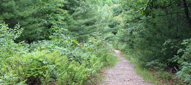
trail in the forest
Trees and other plants flank the Buchanan Trail on both sides as it passes through the forest.

Trail Information:

Length: 1.1 mile
Type: Out and Back

Difficulty: Easy-moderate
Blaze: Orange
Elevation Change: 124 feet
Trailhead Location: directions to Cliff Park trailhead

Trail Description:

The Buchanan trail gets its name from the family who owned the land from 1803 until 2002. The trail follows an old road trace as it passes through the forest ending at the Cliff Trail. To make a loop back to the trailhead, take the Pond Loop that intersects the trail about 0.2 mile before the intersection of the Cliff Trail.


Other trails in the Cliff Park area:


Return to list of trails


Last updated: November 5, 2022

Park footer

Contact Info

Mailing Address:

Delaware Water Gap National Recreation Area
P.O. Box 2

Bushkill, PA 18324

Phone:

570 426-2452

Contact Us