Other Scenic Viewpoints

Bryce Canyon is situated along the eastern edge of the Paunsagunt plateau, with one main 18-mile north-to-south road and only one entrance/exit. As you enter the park, all viewpoints and hikes are on the left.

The iconic Bryce Amphitheater area is located along the first 3 miles of the main road. Most of the park's day hikes can be found here. The main road continues for another 15 miles along the Southern Scenic Drive until it ends at the park's highest elevations at Rainbow and Yovimpa Points. We recommend visiting these viewpoints on your return trip north as all stops will be on your right side.
 

Other Scenic Areas

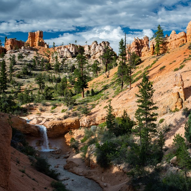
  • An overhead photo of a waterfall cascading into a creek surrounded by red rocks.
    Mossy Cave

    Mossy Cave is the northernmost hike in the park, located just off of SR 12 as it winds its way through the park boundary.

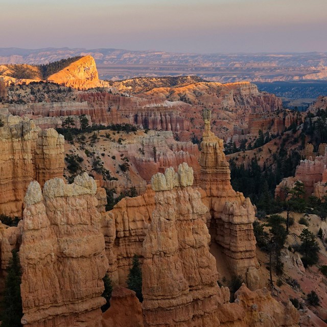
  • Red rock formations in the foreground and in the background other formations glow in the sun.
    Fairyland Point

    Fairyland Point is the northernmost viewpoint along the rim of the Paunsagunt Plateau within the park.

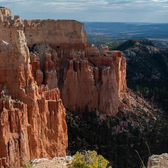
  • Red rock formations on the left side and trees on the right.
    Paria View

    A viewpoint for those who want to experience the quieter side of the park, Paria View overlooks a more than 500 ft (152m) deep amphitheater.


Last updated: April 10, 2024

Park footer

Contact Info

Mailing Address:

P.O Box 640201
Bryce, UT 84764

Phone:

435 834-5322
Phones are answered and messages returned as soon as possible as staffing allows.

Contact Us