Last updated: December 28, 2022
Article
Stratotype Inventory—Grant-Kohrs Ranch National Historic Site, Montana

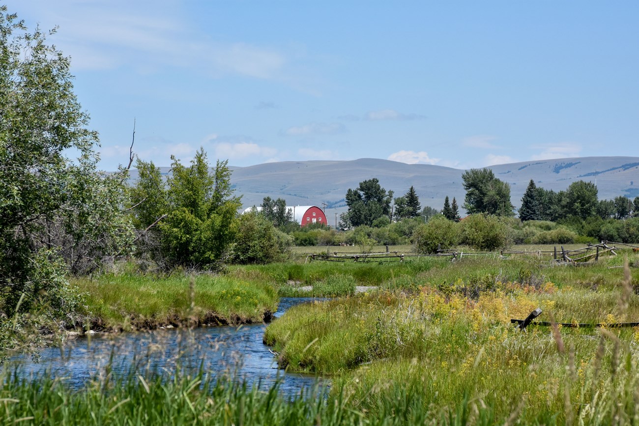
NPS photo.
Introduction
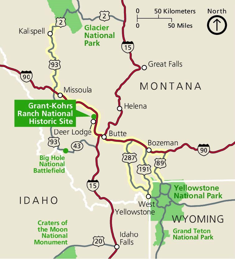
Grant-Kohrs Ranch National Historic Site (GRKO) is located in western Montana and was authorized as an NPS unit on August 25, 1972 (Figure 21). The historic site was first developed into a ranch by John Francis Grant in 1862. Grant sold the ranch to Conrad Kohrs in 1866, who expanded the ranch by taking advantage of the free range in western Montana (Thornberry-Ehrlich 2007). Today this 655-hectare (1,618 acre) site serves as a living museum, and commemorates the frontier cattle ranch lifestyle through preservation, interpretation, and operation of an intact ranch (Anderson 2017). GRKO contains 90 historic structures and maintains an active ranch with an unbroken 150-year history (Thornberry-Ehrlich 2007).

NPS image.
Significance and Geologic Resource Values
GRKO lies within the Northern Rocky Mountains Physiographic Province, which contains exposed geologic units ranging from Precambrian to Tertiary in age, as well as recent alluvial and glacial deposits (Figure 22; Thornberry-Ehrlich 2007). Pre-Tertiary rocks are complex and were folded and deformed multiple times due to immense tectonic forces associated with the Sevier and Laramide orogenic events. In the eastern mountains, igneous activity that formed the Cretaceous Boulder Batholith also concentrated vast mineral deposits. Sixteen different mining districts of the area are a result of this igneous activity (Madison et al. 1995). Along the western side of the valley, rocks consist of folded and faulted sedimentary units intruded by Cretaceous granitic to dioritic igneous dikes and stocks (Thornberry-Ehrlich 2007). Terraces and rolling hills along the valley consist of thick, unconsolidated alluvium deposits.

NPS image.
Stratotypes in Grant-Kohrs Ranch National Historic Site
As of the writing of this paper, there are no designated type formations identified within the boundaries of GRKO. A list of stratotypes located within 48 km (30 mi) of park boundaries is included here for reference. These nearby stratotypes include:
- Cretaceous-age units of the Golden Spike Formation (type section)
- Carter Creek Formation (type area)
Type Section Inventory Report—Rocky Mountain Inventory & Monitoring Network

The information on this page is excerpted from a report covering six parks within the Rocky Mountain Inventory and Monitoring Network (ROMN):
- Florissant Fossil Beds National Monument, Colorado
- Glacier National Park, Montana
- Grant-Kohrs Ranch National Historic Site, Montana
- Great Sand Dunes National Park and Preserve, Colorado
- Little Bighorn Battlefield National Monument, Montana
- Rocky Mountain National Park, Colorado
The full Network report is available in digital format from https://irma.nps.gov/DataStore/Reference/Profile/2283702
Please cite this publication as:
- Henderson, T., V. L. Santucci, T. Connors, and J. S. Tweet. 2020. National Park Service geologic type section inventory: Rocky Mountain Inventory & Monitoring Network. Natural Resource Report NPS/ROMN/NRR—2020/2215. National Park Service, Fort Collins, Colorado.
Geodiversity Atlas—Rocky Mountain Network Index
Leave No Trace—Protect Type Sections for Science

Many type sections and paleontological sites are vunerable to damage from careless visitation and over-use. Be sure to practice Leave No Trace princples whenever you are in the outdoors. Of particular importance at geoheritage sites is to:
-
Travel and camp on durable surfaces, and
-
Leave what you find.
If you see signs of vandalism or someone acting inappropriately during your visit to a park site, please contact a ranger at the park or make a report through NPS Investigative Services.
Related Links
- Grant-Kohrs Ranch National Historic Site, Montana—[Geodiversity Atlas] [Park Home]
- Geologic Time Scale
- America's Geoheritage
- NPS Paleontological Resource Inventory
- NPS Geologic Resources Inventory
- NPS Geodiversity Atlas
