|
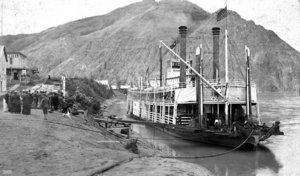
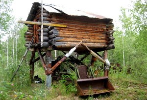
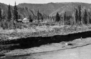
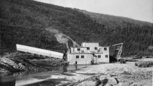
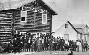
The Yukon River provides a powerful sense of place for visitors to the Yukon-Charley Rivers National Preserve. For thousands of years, the Yukon has served as a summer and winter highway for travelers and residents, and has often been the only connection between isolated communities and camps on its banks and the outside world. Side-streams, such as Woodchopper, Coal, and Fourth of July Creeks, emptying into the Yukon from headwaters in the upland areas of the preserve, provide a different sense of place. The remains of old mining camps and operations scattered along the banks of these placer creeks are features of an historic mining landscape characteristic of some of the more remote areas of the preserve. A few features on this landscape, such as the Coal Creek dredge, are large and impressive, while others are almost invisible within their dense cloak of vegetation. Traditional cultural places, such as a former Han Athapascan occupation site (Charley's Village), are another source of connection between the land and its inhabitants within the boundaries of the preserve.
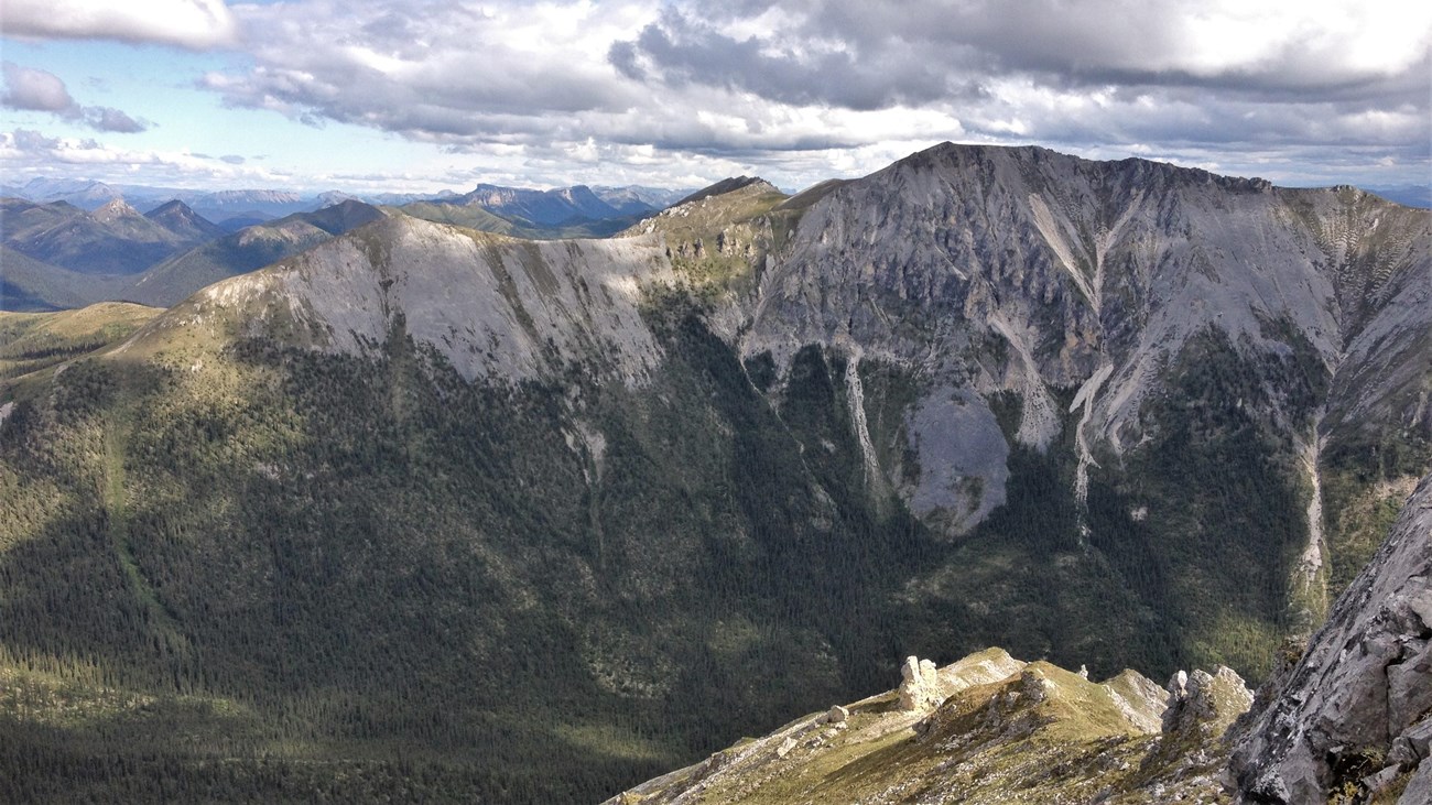
Jëjezhuu Tr’injàa
The renaming of a mountain. |
Last updated: April 25, 2023

