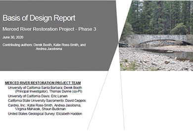
Yosemite National Park's Merced River Restoration Strategy [2.6 MB PDF] articulates the vision guiding planned and ongoing efforts to restore the Merced River in Yosemite Valley, and explains the rationale for the measures being pursued to achieve that vision. It provides context for restoration measures so that stakeholders, practitioners, managers, and the general public can understand why actions are being done. Recommended Restoration Actions Near Sugar Pine BridgeAs one of the key elements of the Merced River Restoration Project, and as directed by the Merced River Plan, recommendations have been developed focused specifically on the reaches immediately downstream and upstream of Sugar Pine Bridge, to mitigate for the localized impacts associated with the bridge. Restoration StrategyThe river in the vicinity of Sugar Pine Bridge is over-widened, locally confined within its banks by riprap, and largely disconnected from its once-active floodplain. Four broad categories of active restoration approaches have been identified for implementation: (1) reconstruction, replanting, and protection of the riparian zone; (2) encouragement of more frequent overbank flooding and off-channel flows; (3) restoration of dynamic river and tributary channels; and (4) creation of more complex in-channel habitat. Four alternatives, consisting of different combinations of potential restoration actions, were evaluated using multiple geomorphic, hydraulic, and ecological criteria. A cost-benefit analysis weighed the restoration benefits and estimated construction costs of each alternative, and also considered the risks and recommended mitigations for the design elements that make up the alternatives. One alternative constitutes the Recommended Action, whose multiple components are recommended for final design and construction. Evaluation criteria for monitoring the project success after construction are also provided, in order to evaluate the long-term effects of a mitigated Sugar Pine Bridge on the biological and hydrological Outstandingly Remarkable Values of the Merced River through Yosemite Valley. 
Details of the alternative actions, their evaluation, and the basis for final recommendations can be found in the Basis of Design, Phase 3 Final Report [6.2 MB PDF]. TimelineThis recently completed project was conducted over a 5-year period (2015–2020). A variety of data-compilation, data-collection, and mapping efforts were conducted to develop a comprehensive characterization of the river reaches surrounding Sugar Pine Bridge and associated riparian and floodplain areas, addressing their geomorphic, hydrologic, and vegetative attributes and conditions. The overarching restoration strategy was developed in close coordination with the National Park Service, with its first tangible being the construction of four such projects in the summers of 2016, 2017, 2018, and 2019. Project TeamThe project team was led by researchers from the University of California Santa Barbara, with long histories in both the theory and the practice of river restoration. Other team members provided key areas of expertise to ensure a well-informed, broad-based framework:
Stakeholder MeetingsPeriodic stakeholder meetings are held to provide a forum for public input to the research and restoration process.
|
Last updated: November 20, 2025
