NPS Photo/Dale Pate
Introduction
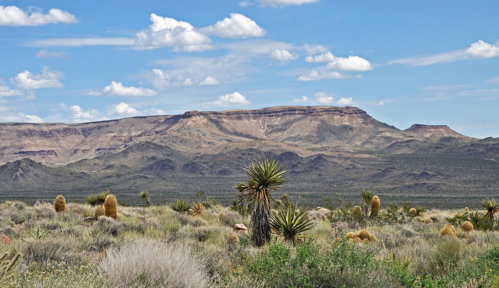
Arid regions by definition receive little precipitation—less than 10 inches (25 centimeters) of rain per year. Semi-arid regions receive 10 to 20 inches (25 to 50 centimeters) of rain per year. Although the rocks and tectonic features underlying arid regions may not differ from other areas, the landscape is distinctive. With little vegetation and often loose surface material, erosion is the main factor in shaping the land surface.

Trista L. Thornberry-Ehrlich, Colorado State University.
Erosional processes in arid and semi-arid regions include:
-
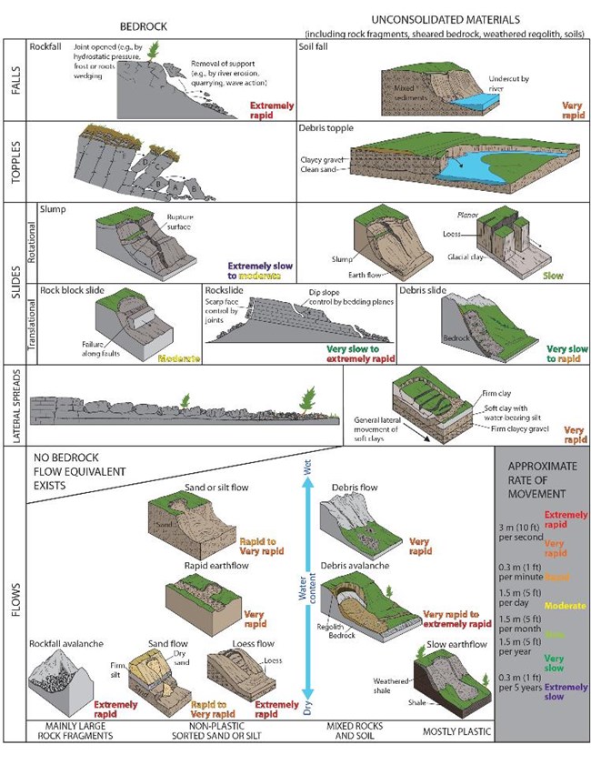
mass wasting (surface creep, landslides, mud and debris flows, and rock topples and falls),
-
water-driven or fluvial processes, and
-
wind-driven or aeolian processes (dust, loess, sand dunes).
Surprisingly, water is an important agent of erosion in arid lands. Although streams may only be active during and right after a heavy rain, running water during a flash flood can carry tremendous amounts of material.
Erosional Features and Landforms
Mesas and Buttes
Mesas are broad flat topped mountains with at least one steep side. Buttes are smaller flat topped mountains or hills with steep slopes on all sides.
Spires (also towers, needles, and balanced rock) are slender isolated columns of rock, that form as the erosional remnant of a butte.
Canyons form as narrow, steep-walled gorges carved by a swift-moving water.
Arroyos or washes are dry stream beds that fill temporarily during rain storms. Flash floods are common following thunderstorms.
Pediments are gently sloping near-bedrock surfaces at the base of a receding mountain front, formed when erosion removes much of the mountain’s mass.
An Inselberg is an isolated, steep-sided knob or hill that risines abruptly from a lowland pediment. An inselberg is an erosional remnant of resistant rock that has remained as surrounding areas eroded away.
Desert pavement is a closely-packed surface layer of coarse pebbles and gravel.
Badllands
Natural Arches
Depositional Features and Landforms
Alluvial fans are fan-shaped piles of sediment that form where a rapidly flowing mountain stream enters a relatively flat valley. As water slows down, it deposits sediment (alluvium). As the stream migrates back and forth in the open valley, the sediment gradually builds a fan.
Bajadas are are aprons of rocky debris that form when alluvial fans coalesce to form a ramp that spreads out toward the valley floor. A bajada or piedmont slope partially buryies the range front in its own sediment.
Stream terraces are long bench-like surface bordering a stream or wash. A terrace is a level or near-level area of land above a water course and separated from it by a steeper slope. A stream terrace is made by the stream at some time in the past when the river flowed at a higher level. A terrace may be made of stream deposits such as gravel or sand, or it could be an erosional cut by the stream on bedrock.
Playas are shallow, short-lived lakes that form where water drains into basins with no outlet to the sea and quickly evaporates. Playas are common features in arid (desert) regions and are among the flattest landforms in the world.
Basins are depression in the Earth’s surface that collect sediment. Rock particles that wash down from mountain sides collect in adjacent basins, in some places burying the bedrock under thousands of feet of rock debris.
Geological Monitoring
Photo Gallery
Arid and Semi-arid Region Landforms in Parks
Visit the links below to learn more about the different types of arid and semi-arid landforms that exist in the National Parks.
Park Landforms and Features
Last updated: September 13, 2019
