
Land surfaces are sculpted into a wide diversity of shapes and arrangements, called landforms. The bedrock subsurface of an area plays an important role in determining the shape of the land, but it is not the only factor. It is the geologic processes that shape Earth’s landforms over vast periods of time through the actions of water, wind, ice, and gravity, as well as internal tectonic and volcanic activity.
Landforms have a story to tell about an area’s geologic history and setting. By learning to recognize landforms within a scenic vista, you can begin to read the landscape and interpret the geologic story behind the scenery. You will also see that the plant and animal communities in an area are linked to the landforms through the habitat and shelter they provide. Another way that landforms influence the overall landscape of an area is through interactions with climate. Large scale landforms can effect the climate of an entire region while smaller features can affect the microclimate of a site and create unique local habitats.

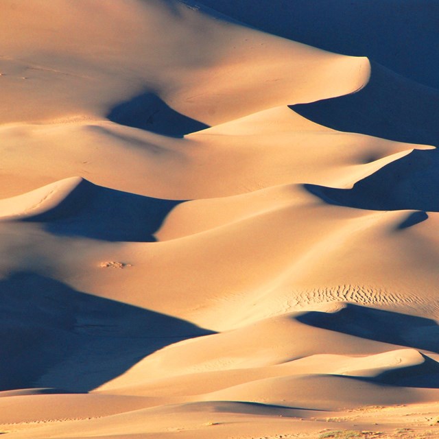
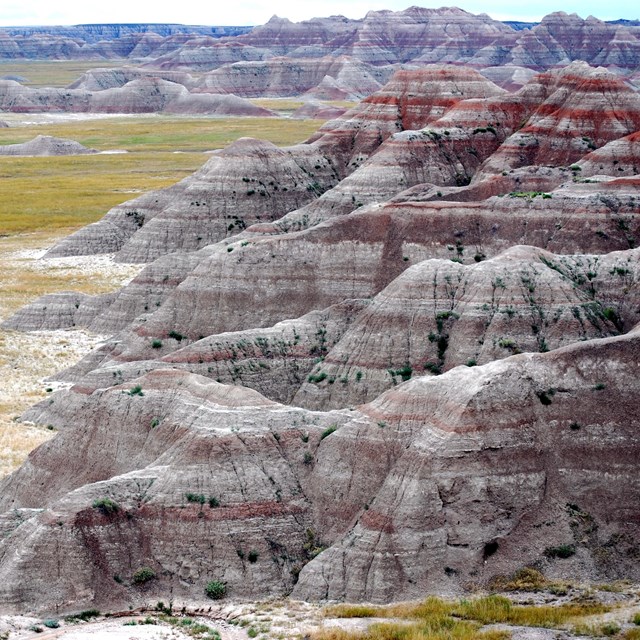
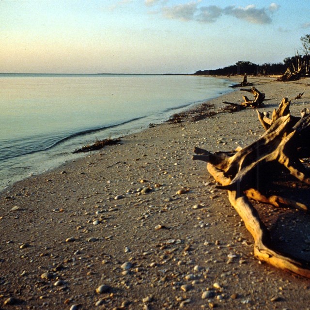
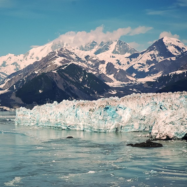
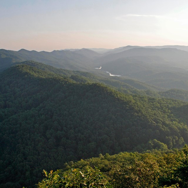
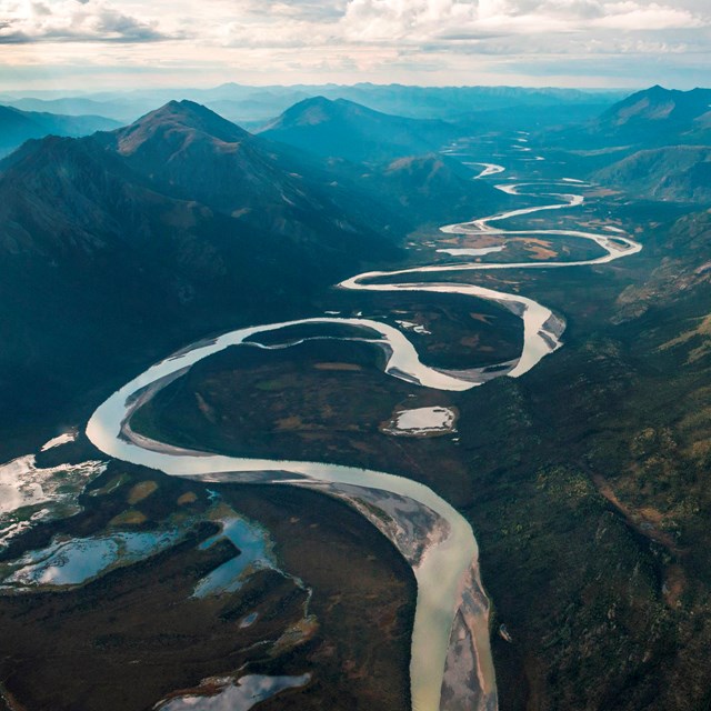
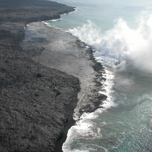
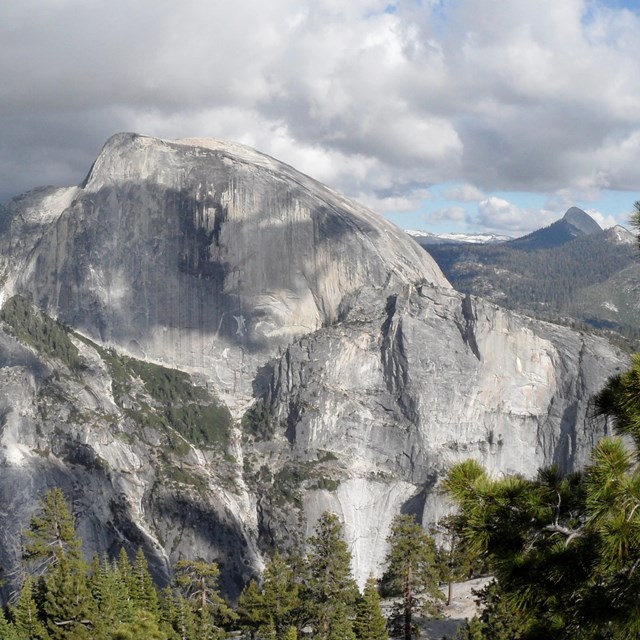
Landform PhotosNine galleries of photos featuring park landforms including: Dunes, mesas and arroyos, shorelines, glaciers, karst, river systems, tectonic features, volcanoes, and more. |

Last updated: August 29, 2019