News Release
You are viewing ARCHIVED content published online before January 20, 2025.
Please note that this content is NOT UPDATED, and links may not work. For current information,
visit https://www.nps.gov/aboutus/news/index.htm.

NPS Photo
|
Subscribe
|
Contact: Kevin Sweeney, 530-595-6130
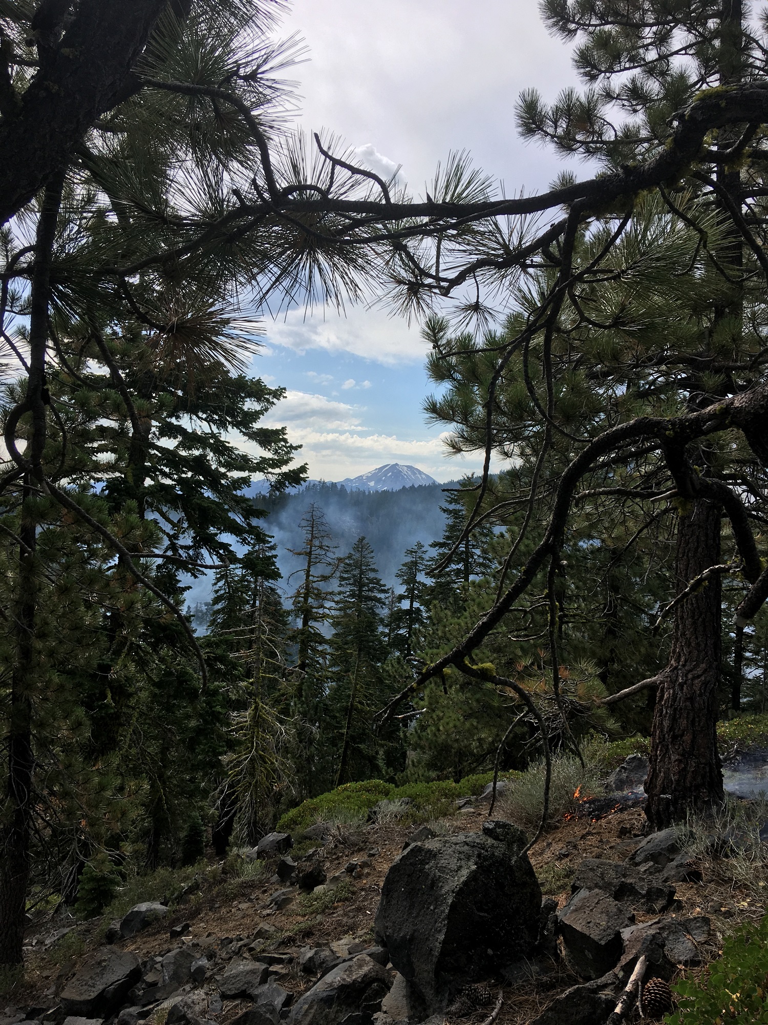
MINERAL, CA – Lassen Volcanic National Park continues to monitor the lightning-ignited, 15-acre, Red Fire.A fire lookout on Mt. Harkness detected a small amount of smoke in the park at approximately 10 a.m. on August 14. Air surveillance and ground crews confirmed the fire location to be southwest of Red Cinder Cone, within Lassen Volcanic Wilderness, along the eastern border of the park. The Red Fire is four square miles from the park's southern boundary, seven square miles from private land, and 11 square miles from the town of Chester.
The Red Fire is burning at high elevation (7,200 feet) in predominately red fir forest with discontinuous fuels. Fuel moisture in the area is above average following a heavy winter snowpack. Fire behavior is minimal, it continues to slowly burn at a low intensity with minimal smoke output. This combination of fuel moisture, fire location and fire behavior create ideal conditions for managing this fire for resource benefit.
Lassen Volcanic National Park is working closely with Lassen National Forest and will continue to monitor using fire lookouts, foot patrols, and aerial support. Additional resources are currently available through other NPS and USFS units should they be needed.
Currently no campground or trail closures are in effect, no such closures are anticipated for the upcoming Labor Day weekend. The park will communicate any change in strategy, significant variation in fire behavior, and/or closures through the park website at go.nps.gov/lavo/fire.
www.nps.gov
Last updated: August 29, 2019
