NPS
The Northern Colorado Plateau Network monitors climate, invasive exotic plants, land surface phenology, landbirds, and landscape dynamics at Fossil Butte National Monument. The results of that monitoring provide park managers with scientific information for decisionmaking.
Fossil Butte National Monument was created on October 23, 1972, to preserve "outstanding paleontological sites and related geological phenomena, and to provide for the display and interpretation of scientific specimens." The monument protects a unique fossilized assemblage of organisms that once lived in or around Fossil Lake, an ancient lake of Eocene age.
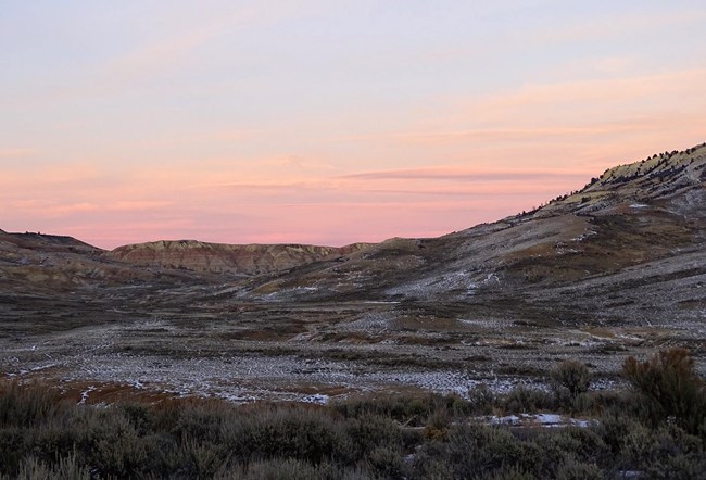
Elevation ranges from approximately 2,018 meters (6,620 feet) near the main entrance to 2,464 meters (8,084 feet) at the summit of the Bull Pen. The area is considered to be high, cold desert. Precipitation averages between 229 and 305 millimeters (9 and 12 inches) per year, most of it falling as snow. Winters can be extremely cold, with temperatures occasionally falling to -30°F or less. Daytime summer temperatures rarely exceed 90°F. Shrublands are the most diverse and widespread communities in the monument. Forest, woodland, wetland, and herbaceous plant communities are uncommon, and riparian woodlands are rare. An interrupted, intermittent stream, Chicken Creek, drains approximately 2/3 of monument lands.
Exotic plant species invasion and threats to rare plants and paleontological resources are the monument's main natural resource management concerns.
Quick Reads
Publications
Source: NPS DataStore Saved Search 3775. To search for additional information, visit the NPS DataStore.
Source: NPS DataStore Saved Search 3776. To search for additional information, visit the NPS DataStore.
Last updated: October 31, 2020
