NASA
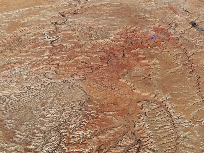
The types and distribution of vegetation across the landscape are fundamentally important to the natural diversity of ecosystems and species. The configuration and connectivity of landcover types helps to determine habitat availability, energy and water flow, and animal movements. Large changes in landscape structure can occur in response to natural and human-caused disturbances that can impact native vegetation and the processes and fauna that depend on it.
Landscape-scale vegetation changes can be detected by evaluating imagery that represents conditions across many years. New image analysis techniques, developed at Oregon State University, now make it possible to determine spatial extent, rate, direction, duration, and relative magnitude of vegetation change using a time series of annual, remotely sensed images from Landsat satellites. These new techniques were designed to minimize the potential for confusing long-term change with seasonal and annual phenological change, which are driven by short-term weather variations. Detectable changes include both rapid and gradual change due to fire and drought stress, as well as growth and recovery processes.
Being able to visualize and quantify these types of change across large landscapes offers land managers insight to processes that may be caused by climate change, plant disease, encroachment, or land management over long periods of time.
Landscape dynamics are monitored in all Northern Colorado Plateau Network parks.
Vital Signs: Remotely sensed land-cover change
Protocol Lead: Dusty Perkins
Source: NPS DataStore Saved Search 476. To search for additional information, visit the NPS DataStore.
Source: NPS DataStore Collection 2542. To search for additional information, visit the NPS DataStore.
Last updated: June 16, 2025
