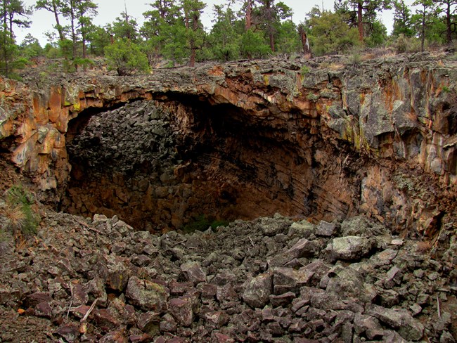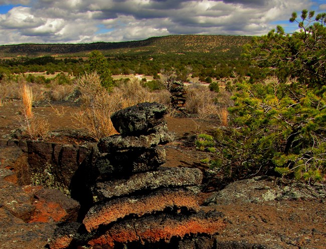
NPS Photo by John Kuehnert Geological features abound at Big Tubes with lava bridges, collapsed tubes, ‘a‘ā lava flows, and lava tube caves. Hiking at Big Tubes can be a rewarding challenge for those prepared to hike a rugged landscape marked by cairns. Download the Big Tubes Area Trail Guide or pick one up at the El Malpais Visitor Center before heading to Big Tubes. The trail is approximately two miles long and makes a rough figure-8 shape, so the hike can be made shorter if desired. This trail is considered extremely strenuous due to the uneven ‘a‘ā lava flow terrain, and keep in mind that help is far away if issues arise. Free caving permits are required to visit all lava tube caves in El Malpais National Monument. All caves are undeveloped wilderness caves meaning there are no established trails, steps, or lights within the caves. Safety gear - including a helmet, gloves, and kneepads - is highly recommended to explore any lava tube caves in the park. Many caves are closed to protect sensitive natural resources that can only be found in cave ecosystems. Other caves may close during the summer to protect bat maternity colonies. Please check the caving page for before planning a visit to any caves. Driving to Big Tubes can be an adventure on its own. To reach the Big Tubes Area, drive down County Road 42 to the Big Tubes Road (NPS 300) and travel 4.5 miles (7.2 km) to the parking area. High clearance and four-wheel-drive vehicles are highly recommended, as road conditions can vary greatly throughout the seasons. The road is often impassible during the winter months and monsoon season in late July and August. Speak with a ranger at the El Malpais Visitor Center for road conditions. Picnic tables and pit toilets are available for day use at the trailhead. Camping at the trailhead is prohibited. 
NPS Photo by John Kuehnert Hiking Cairned RoutesSometimes the only trail markers along El Malpais trails are cairns: a series of rock piles used to trace a route across the land. Cairns are common on lava landscapes where creating a traditional trail or footpath is impossible because of the extreme nature of the terrain. A wild caving experience awaits!Lava Tube Caving |
Last updated: May 6, 2025
