



You are viewing ARCHIVED contentThis content was published online before January 20, 2025. Please note that this content is NOT UPDATED, and links may not work. For current information, visit https://www.nps.gov/aboutus/news/index.htm. 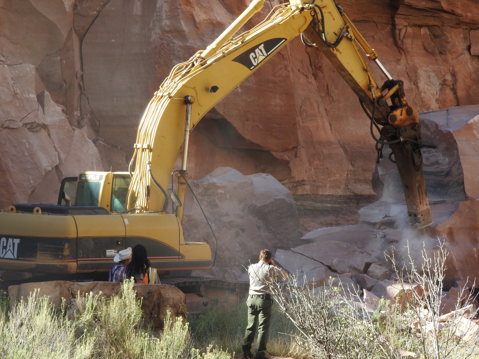
News Release Date: September 24, 2015 The rock fall occurred around 4:30 am on Wednesday, September 23. It is located approximately 200 feet from the Pine Creek Bridge on the first switchback leading up to the Zion-Mount Carmel Tunnel and is blocking both lanes of the road. The largest boulder is estimated to be 200 tons, at 19 feet high by 20 feet long and 15 feet wide. The second boulder is 100 tons, at 10 feet high, 10 feet long and 15 feet wide. Zion road crews, Utah Department of Transportation, Utah Geological Survey and Federal Highway Administration engineers determined that a section of cliff face above yesterday's rock fall constitutes an immediate hazard. Additional rock will need to be removed from the cliff face before the road can be fully reopened to through traffic. This particular section of the road has seen rock fall periodically in the last 20 years. Dave Sharrow, Park Hydrologist noted that, "the area that the rock fall occurred in, is a part of the Springdale Sandstone rock formation. There are cliffs that are near the road and because the road is carved into the side of the mountain rock falls can, and do, occur." Alternate east and west routes are available via Highway 59 from Hurricane, Utah to Fredonia, Arizona and Highway 14 from Cedar City, Utah to Long Valley Junction and Highway 89. People traveling to other areas of the park may access the park by traveling east on State Route 9 from Interstate 15. All park facilities including the visitor centers, museum, and campgrounds are open and operating as normal. Map of Alternate Routes |
Last updated: September 18, 2021