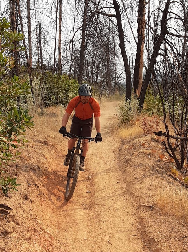
NPS photo. Singletrack? Climbs? Downhills? Whether you're seeking a leisurely ride or a heart-pumping challenge, Whiskeytown has the trails for you. Grab your helmet, fill up your water bottle, purchase your entrance pass, and get ready to explore! Where Can I Go Mountain Biking & E-Biking?Bicycles and class one e-bikes are permitted on all trails at Whiskeytown except for James K. Carr Trail, Davis Gulch Trail, Crystal Creek Water Ditch Trail, and Shasta Divide Trail. All roads are open to bicycling and class two and three e-bikes are permitted on roadways. Please remain alert for other road and trail users. Flat & Winding Singletrack TrailsFor singletrack trails that offer a relatively flat ride with plenty of twists and turns, try these popular routes:
These trails offer scenic rides without the steep climbs, perfect for riders looking for a smooth and enjoyable adventure. Challenging Climbs & Thrilling DownhillsIf you’re looking for a more strenuous workout, complete with climbs and downhills, check out these options:
These trails promise more elevation and are perfect for riders seeking a challenge. Mule Mountain Pass TrailLocated off Mule Town Road, this trail takes you uphill to Mule Mountain Pass and connects with multiple other trails in the Swasey Recreation Area—a mountain biking network managed by the Bureau of Land Management. Brandy Creek CorridorAnother favorite among mountain bikers is the Brandy Creek Corridor. The combination of the Rich Gulch Trail, Lower Brandy Creek Falls Trail, and Brandy Creek Road forms a four-mile loop. Want a longer ride? Start at the bottom of Brandy Creek Road or Brandy Creek Trail to extend your adventure.
Pro Tip: Be sure to check the park map and the trail table on the hiking page for detailed information about these trails. Remember to ride safely, respect the trails, and enjoy your mountain biking adventure at Whiskeytown! |
Last updated: January 7, 2026
