
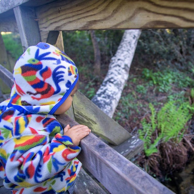
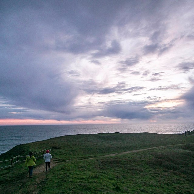
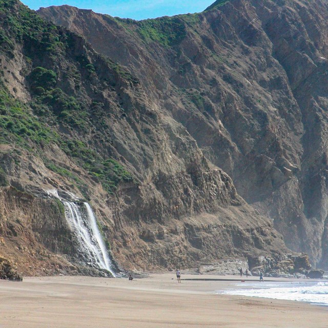
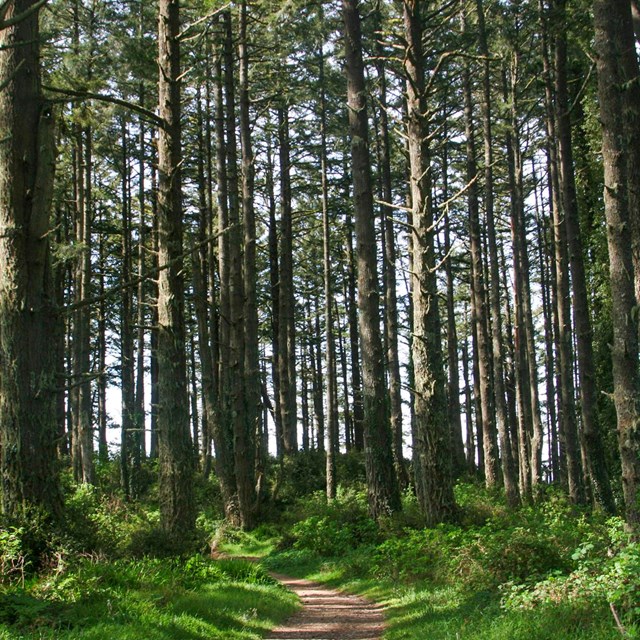
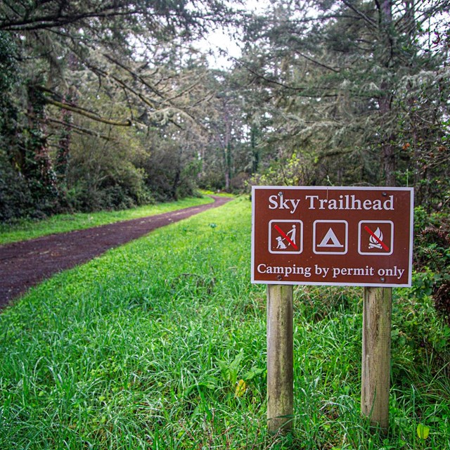
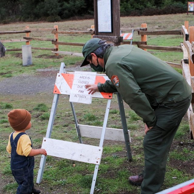
NPS / A. Kopshever Explore Point Reyes on Foot!Hiking opportunities in Point Reyes are seemingly endless. Find solitude in Douglas-fir forests, take in iconic views of the Pacific Ocean or traverse the rolling coastal hillsides—sometimes all in one hike! These route descriptions alone are not a substitute for a trail map. Download a trail map or purchase one at a park bookstore prior to hiking. Additional information and tips about hiking may be found on our Hiking at Point Reyes National Seashore page. Use the guide below to search for hikes by time, habitat, or location. Trail Advisories and ClosuresPlease observe all trail closures and barriers. Trails are closed for a variety of reasons, such as for visitor safety, to protect endangered species, to prevent erosion, and/or to allow new sections of trail to harden. Visitors who disregard trail closures may endanger themselves and any potential rescuers, harm threatened and endangered species, exacerbate erosion, or prevent new sections of trail from properly hardening, which results in the degradation of the trail surface, which in turn may require the closing of the trail for repair. Thank you for your cooperation. Caution: Most trails in the park are overgrown with grass and annuals. The park's trail crew is working to address the trail conditions as best they can, but please anticipate wading through vegetation as you hike, and check yourself for ticks during and after your hike. Visit our Trail Advisories and Closures for current information. By TimeCheck out hiking options based on how much time you have to spend in the park.
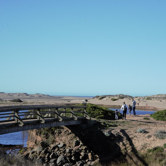
By Habitat or LocationTrails at Point Reyes National Seashore pass through a wide variety of amazing habitats. Choose your hike based on what kind of areas you want to explore or what kind of wildlife you might be hoping to see! Or do you already know where you'd like to start? Browse through the park's trailheads and find suggested routes that begin at each location.
Hiking at Point Reyes National Seashore Hiking Rules and Regulations
Hiking Tips and Safety
|

Last updated: May 15, 2025