Last updated: September 20, 2022
Place
Black Jack Ruts

Photo/Roger Boyd
Historical/Interpretive Information/Exhibits
A map of Passport and Places to Go locations for National Historic Trails.
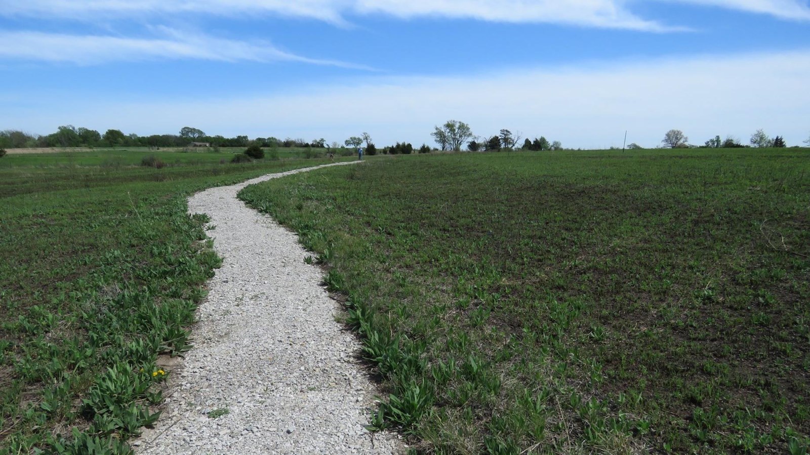
As you follow the path at Black Jack Ruts, you will discover the physical marks left on the land by thousands of heavy trade wagons. Parallel swales left by wagon caravans are as wide as 15 feet. You also have the rare opportunity to experience a native tallgrass prairie where the grasses can grow as high as seven feet. While you explore, you will see and feel the beauty of the prairie and understand more about the challenges of traveling it safely. Exhibits and an audio tour will help you read the landscape of the Santa Fe Trail.
Site Information
Location (accessed at the roadside park located at 2011 N. 200 Rd. Trailhead to the ruts is located next to Black Jack Cabin within the roadside park; N 38.76735, W 095.128843)
This roadside park also includes a large historical marker describing the Battle of Black Jack which occurred ½ mile to the south. The town of Black Jack was located ½ mile to the east.
Black Jack Ruts Audio Walking Tour
More Site Information
Exhibit Audio Description available
Santa Fe National Historic Trail
- Duration:
- 1 minute, 3 seconds
Walk through five distinct swales created by thousands of heavily loaded freight wagons as they traveled the Santa Fe Trail. A quarter mile, gravel trail loops through and along the swales that are up to 15 feet wide, and 4 and a half feet deep. Exhibits tell the site’s history and significance as you explore. Most of this tallgrass prairie remains unplowed, offering visitors a chance to see the landscape as trail travelers would have over a hundred years ago.
