Last updated: June 3, 2021
Article
Black Jack Ruts Audio Tour
Photo/Roger Boyd
Welcome
Please enjoy this tour either through the text or audio provided below.
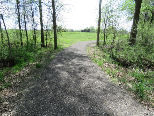
Welcome to the Ivan Boyd Memorial Prairie Preserve and the Black Jack Ruts. Head out on the trail through the woods and over the small creek to the prairie. From there you can walk a gravel trail that is easy walking and will let you experience up close and in person several very impressive wagon ruts created by heavy traffic of mostly freight wagons headed to Santa Fe or returning to Westport or Franklin or merchants along the Missouri River.
-
Black Jack Ruts Audio Tour Stop 1
Welcome
Photo/Roger Boyd
First Rut and Exhibits
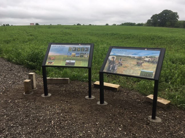
Standing in the circle looking up the hill from the two information panels you will see the expanse of this native prairie. Most of this prairie has never been plowed or cultivated. To your right is one of the main wagon ruts at this site. This one is heading down hill towards you and passes to your right and into the woods to the north. This portion of the trail had been obscured by trees, vines, and brambles for the past 80 years and has only recently been uncovered by removing the trees and brush. The wagons would have been crossing Grindstone Creek to the north of present-day highway US 56. From here continue to Audio Stop #3 in the middle of the ruts.
-
Black Jack Ruts Audio Tour Stop 2
First Rut and Exhibits
Photo/Roger Boyd
Middle of Ruts
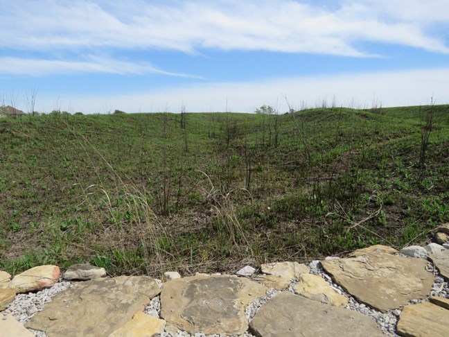
You are standing in the bottom of the middle rut in this prairie. This is the widest and deepest of the 5 main ruts. A layer of sandstone uphill from here seeps water much of the year and so the bottom of the ruts is usually damp and muddy. We constructed a rock path to cross them. From here, follow the trail up the hill to the south.
-
Black Jack Ruts Audio Tour Stop 3
Middle of Ruts
Photo/Roger Boyd
Top of Hill
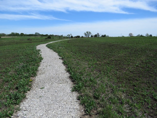
Running parallel on your right is the fifth main rut. It is less impressive but still larger and deeper than most of the other ruts that can be found along the trail to Santa Fe. In the growing season (April-October) many species and colors of native prairie wildflowers can be found blooming along this trail.
-
Black Jack Ruts Audio Tour Stop 4
Top of Hill
Photo/Roger Boyd
Stone Marker
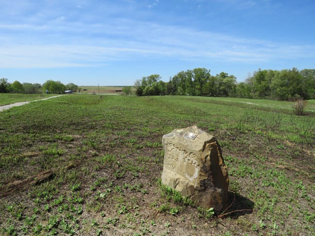
This may look like an authentic marker to show the way along the trail, but no such markers were ever placed along the route. This stone was placed here by the previous owner, Russell Hays in 1965. As you look down the ruts to the northwest look at the ridge on the far horizon. That ridge is the beginning of “The Narrows”. Continue on to trail marker #6 for more information.
-
Black Jack Ruts Audio Tour Stop 5
Stone Marker
Photo/Roger Boyd
Curve in the Trail
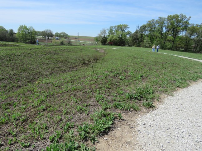
From this spot is a great view of these impressive ruts as they go downhill towards Grindstone Creek. There are at least 5 other much shallower ruts here that can only be seen after the prairie has been burned in the spring. The Narrows was a ridge that allowed the wagons to safely navigate between tributaries that either flowed to the Marais des Cygnes River to the south or to the Wakarusa River to the north. The Narrows curves to the northwest and west about 9 miles to Willow Springs. From there the prairie flattened out onto a broad plain to points further west, like Council Grove.
-
Black Jack Ruts Audio Tour Stop 6
Curve in the Trail
