Hiking Trails in Pecos National Historical Park
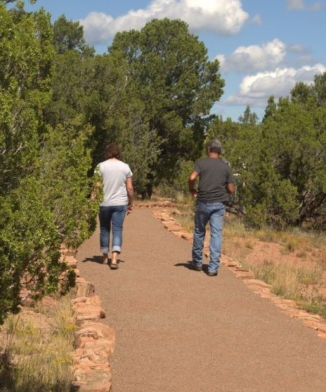
Ancestral Sites Trail
1.25 mile/2 km roundtrip loop
Difficulty: Easy (gravel/dirt)
Elevation Change: 80 ft/23 m
The trail starts right behind the visitor center. It gives you a glimpse into the past as you pass by the ancestral sites of the Pecos Pueblo and the mission church. You will also enjoy beautiful vistas of the Sangre de Cristo Mountains and Glorieta Mesa as you venture around the trail. Dogs are allowed on leash. Trail guides are available to purchase at the visitor center. Visit our accessibility page to learn about trail accessibility.
Glorieta Battlefield Trail
2.25 mile/3.6 km roundtrip loop
Difficulty: Moderately Strenuous (unpaved/gravel)
Elevation Change: 500 ft/152 m
The trailhead is a 7.5 mile drive from the visitor center. Winding through a forested area, this trail explores the place where one of the most important western Civil War battles happened. Stop by the visitor center first for printed information about the battle. As you walk around the trail, you will see wayside signs about the conflict. Some information is also available in the NPS App. Dogs are allowed on leash.
To reach the Glorieta Battlefield Trail, drive 2.1 miles south from the main park gate and turn right on Old Denver Highway (unsigned). Continue 5.5 miles northwest, including a short gravel section. Road ends at the parking for the trailhead. Visit our accessibility page to learn about trail accessibility. Trail hours are 8:00 am to 4:30 pm.
South Pasture Loop Trail
3.8 mile/6.12 km roundtrip loop
Difficulty: Easy to Moderate (gravel/dirt)
Elevation Change: 100 ft/30 m
This old ranching road-turned-trail starts 0.7 miles south of the Trading Post and winds its way through pasture lands. As you hike along the trail, you'll pass through a grove of cottonwoods along the Pecos River. The trail then loops back through pasture lands before ending back at the trailhead. This trail has expansive views of the Pecos River, Sangre de Cristo Mountains, and Glorieta Mesa.
To reach the trail, drive 0.75 miles south on Highway 63 from the main park gate. Turn left toward the Trading Post. Continue another 0.7 miles south on a gravel road to arrive at a blue gate marking the trailhead parking.
Important Notices: Pets are not permitted on this trail. Last entry onto this trail is at 1:00 pm, as the trail closes at 3:00 each day.
Looking for more things to do? Check out the Things to Do page for other ways to experience the park!

