![]()
Cover Page
MENU
![]() Tule Lake
Tule Lake
|
| |
Confinement and Ethnicity: An Overview of World War II Japanese American Relocation Sites by J. Burton, M. Farrell, F. Lord, and R. Lord |

|
|
| |
Chapter 13 (continued)
Tule Lake Relocation Center
Central Fenced Area
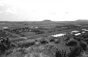 Figure 13.29. Overview of the central area of the Tule Lake Relocation Center today. |
Outside of the area along the highway nearly all of the central area has been graded to some extent, with most of the concrete slabs either removed or broken up and piled. Some areas are farmed but most of the vicinity is open space apparently used for cattle grazing (Figures 13.29 and 13.30).
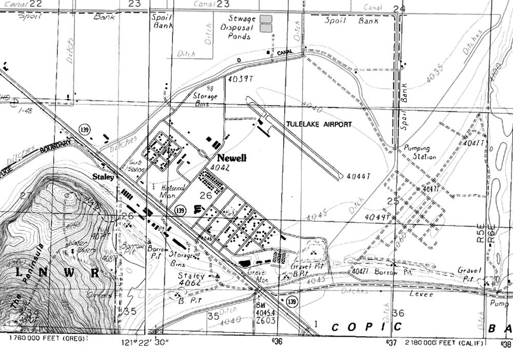
Figure 13.30. Central area at the Tule Lake Relocation Center today.
(adapted from USGS 7.5' maps Newell and Tulelake, California, 1988)
(click image for larger size (~125K) )

 Top
Top
Last Modified: Fri, Sep 1 2000 07:08:48 pm PDT
http://www.cr.nps.gov/history/online_books/anthropology74/ce13f.htm
![]()