AlertsWhat will be listed in Alerts?
What's Open WhenOperating Hours & SeasonsSummer / Fall
Trail Conditions, May to October
Trails snow over in winter and melt out in spring. Check for updated trail conditions. 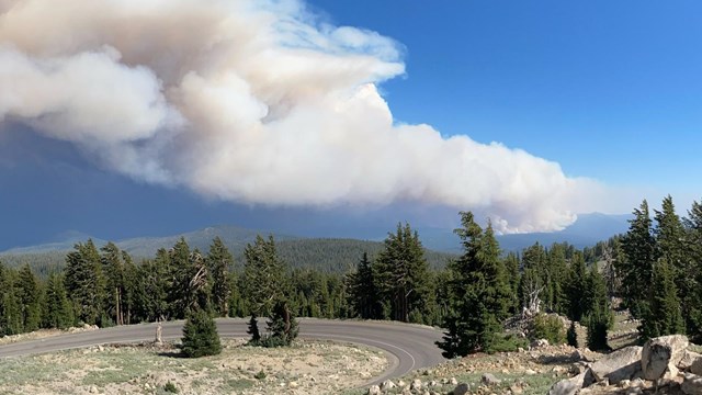
Current Wildfire Activity
Wildfires often occur between July and October; learn about current wildfire activity that may affect the park. 
Air Quality
Smoke impacts in the park vary from day to day. View current conditions and learn about how to protect yourself from wildfire smoke. Winter / SpringSnow Depth

Oversnow Route Conditions
November to May, learn about conditions on oversnow routes in the park. 
Spring Road Clearing Operations
Every spring, Lassen must clear 30-40 feet of snow from the main park road. Learn more about this process and historic opening dates. Know Before You Go
News Releases
Check out what's currently newsworthy at Lassen. 
Superintendent's Compendium
All visitors are expected to know and follow park rules and regulations during their visit. 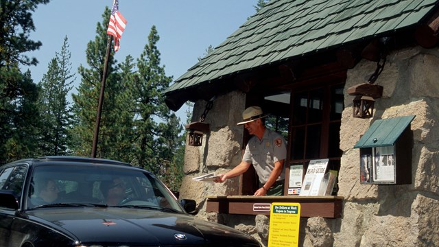
Entrance Fees and Passes
The 7-day vehicle entrance fee is $30 payable with a card. A valid pass waives this fee. Passes and fees may also be purchased on-line. 
Park Map
Explore the digital park map, including facilities, trails, and features. 
Visitor Centers
Lassen has two park visitor centers, conveniently located near the northwest and southwest park entrances. 
Camping
Operating hours, facilities, reservations, and more! Learn how to spend a night at Lassen Volcanic National Park. 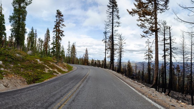
Effects of the 2021 Dixie Fire
What to expect when visiting after the 2021 Dixie Fire. |
Official websites use .gov
A
.gov website belongs to an official government
organization in the United States.
Secure .gov websites use HTTPS
A
lock (
) or https:// means you've safely connected to
the .gov website. Share sensitive information only on official,
secure websites.

