NPS photo |
|
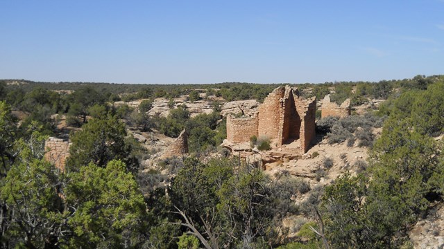
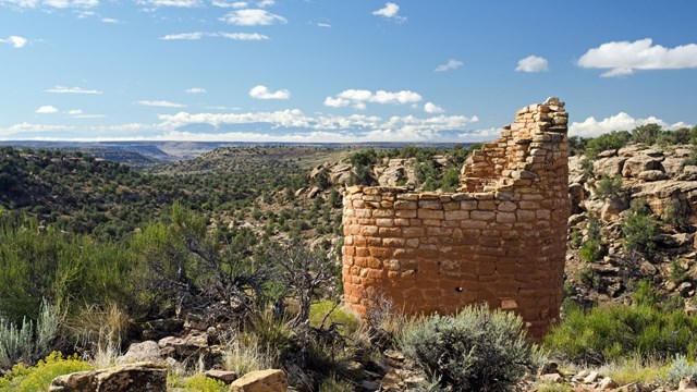
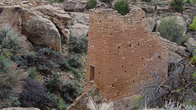
Cajon (pronounced Cah-hone) is Hovenweep’s most southern and lowest elevation outlier site. Perched on the canyon rim at the southern edge of Cajon Mesa, Cajon has spectacular views of prominent natural landmarks. The trip is well-worth the effort to take in the dramatic views and remarkably preserved structures. Visiting CajonGetting ThereStop at the visitor center for updated road conditions, directions, and a map. Cajon is located off of a Navajo Nation dirt road, 9 miles south of the Hovenweep Visitor Center. Most of the journey is paved, 2.9 miles are maintained dirt road, and the last ¼ mile stretch is unmaintained two-track. We recommend a high clearance vehicle. Some walking is required to see Cajon. Visitors park at the trailhead and take the short, unpaved trail around the area. The trail is 0.2 miles roundtrip. Available ServicesThere is no rest room, campground, visitor center, trash receptacle, or water available at the Cajon site, so please come prepared. All of these services are available at the Hovenweep Visitor Center. Features & ArcheologyThe stunning and evocative view of the landscape is perhaps the most striking feature of Cajon. On a clear day, visible in a sweeping arc from east to west are: Sleeping Ute Mountain, Shiprock, the Carrizo Mountains, Monument Valley, Bears’ Ears, and the Abajo Mountains. People may have settled here, in part, because of this view. The main reason people built their homes here is probably the spring at the head of the drainage. The structures at Cajon cluster around this vital water source. People built structures here in Pueblo I, but the area was most used during Pueblo II – III periods, about AD 900 – 1300. The structures include two-story buildings on top of the canyon and the remains of several more huddled around the spring below. Life at CajonThe ancestral Puebloans living at Cajon grew maize (corn), squash, and beans in terraced plots down the drainage slope and in dry-farming plots on the mesa top. They supplemented farming with hunting game and gathering wild plants, seeds, and pinyon nuts. The people of Cajon pueblo were probably part of the larger migration that took place around 1300 AD. Most, if not all, people in the Mesa Verde and Upper San Juan region traveled south and found new homes there. Today, the modern Pueblo tribes continue to live to the south. What's in a Name?Cajon was named after Cajon Mesa, the large mesa that all of Hovenweep sits on. Cajon Mesa is tilted downward toward the south, which is why Cajon sits lower in elevation that Hovenweep's other units. Part of the ParkCajon was part of the original land designated as Hovenweep National Monument in 1923 through Presidential Proclamation #1654. Other Places to GoHovenweep's Home BaseSquare Tower Group
Cutthroat Castle
Hovenweep's northernmost and hardest to reach unit. 
Horseshoe & Hackberry
Horseshoe and Hackberry are smaller outlying units of Hovenweep. 
Holly
Holly is Hovenweep's most visited outlying unit. |
Last updated: April 29, 2025
