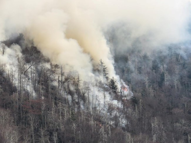
NPS photo by Warren Bielenberg Fire SummaryThe Chimney Tops 2 Fire was reported in Great Smoky Mountains National Park near Gatlinburg, TN at approximately 5:30 p.m. on Wednesday, November 23, 2016. The wildfire began burning in a remote location of the park (Chimney Tops) in steep terrain with vertical cliffs and narrow rocky ridges, making access to the wildfire area difficult for firefighting efforts. Between Thursday and Saturday (November 24-26), crews identified and worked to establish a containment area lower down on the mountain where there was a higher chance of success to stop the fire. Sunday, November 27 the relative humidity dropped and a weather inversion lifted, which increased fire activity. Three helicopters were used to make bucket drops to slow the spread of the fire. Overnight, strong winds moved into the area. On Monday, November 28th, the exceptional drought conditions and extreme winds caused the wildfire to grow rapidly. Helicopters could not fly due to high winds and poor visibility. The National Park Service was in communication with the Gatlinburg Fire Department and the Tennessee Division of Forestry throughout the day. Winds further increased throughout the day to a sustained 40-50 mph in the evening with gusts up to 87 mph, causing numerous new wildfire starts from embers carried far in front of the main fire, as well as downed powerlines within the Gatlinburg community. The wildfire was determined to be human-caused and under the investigation of the National Park Service, ATF, and Tennessee Bureau of Investigation. Two juveniles have been arrested for Aggravated Arson in connection with the fire. 
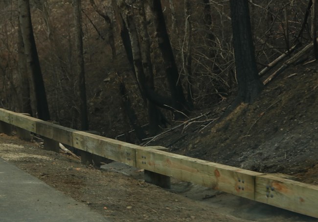
NPS photo by Warren Bielenberg Fire Damage in the Park

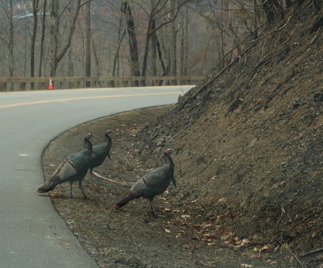
NPS photo by Warren Bielenberg Wildlife Impacts
Fire Ecology

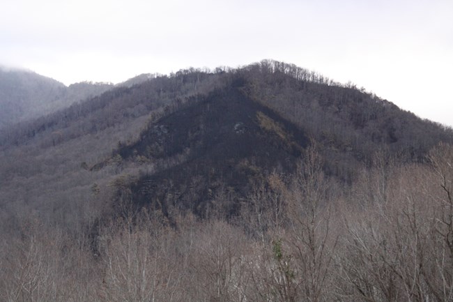
NPS photo by Lisa Nagurny Frequently Asked QuestionsQ: Were any structures in the park destroyed by the fire? A: No. All park structures, including those in the areas of Headquarters, Roaring Fork Motor Nature Trail, and Mount Le Conte were undamaged by the fire. Remember, this is only speaking to park structures, not those outside park boundaries. Q: Did a prescribed burn start the fire? A: No. There were no prescribed burns in the area this year. The Tennessee Bureau of Investigation reported that two juveniles have been arrested for Aggravated Arson in connection with the Chimney Tops 2 Fire and Sevier County Fire. It is still under investigation. Q: Why is it called the Chimneys Tops 2 Fire? A: It was the second fire in the Chimney Tops area. The first occurred November 13-16, 2016. It was fully suppressed by fire crews and totaled 1/4 of an acre. The two Chimney Tops fires are not connected. Q: How much of the park was burned? A: Approximately 11,000 acres burned within Great Smoky Mountains National Park, which is about 2.1% of the total land of the park. Approximately 6,000 acres outside the park within Sevier County burned as well. There is a mosaic of burned and unburned landscape within the affected area. Q: How close did the fire get to the Sugarlands Visitor Center? A: It got within 2000 feet east of the visitor center Q: How close did the fire get to Le Conte Lodge? A: It got 1.5 miles downslope from the lodge Q: When was the last major wildfire to burn in Great Smoky Mountains National Park? A: The last large wildfire within the park occurred in 2001. It was called the Sparks wildfire and it was an approximately 7,000 acre wildfire near Bryson City, NC. 
NPS photo by Lisa Nagurny |
Last updated: September 1, 2022
