Visit ParkNet Visit ParkNet Visit ParkNet Visit the US Dept. of Interior National Park Service, U.S. Department of the Interior
ESRI UC
June 18-22, 2007
San Diego, CA

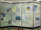
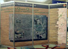
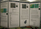
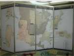
NPS Display at the Twenty-Seventh Annual ESRI International User Conference

Again, this year the NPS co-hosted with ESRI a display area and assisted ESRI with coordinating a National Parks and Preserves Track.

  • The displays presented at this year's UC included a variety of parks and programs.
  • Among the displays are large sections from Yellowstone's new book Atlas of Yellowstone, Impervious Surface studies from Chattahoochee River NRA, DOQQ's of Canyon de Chelly NM, Storm Impact Analysis for coastal National Parks, a timeline of the Park Service's history, and many others.

Click below to view text and image selections from some of this year's displays.


Geologic Resource Evaluation


Geologic Resource Evaluation (2)


Canyon de Chelly NM DOQQ's


Comparision of LandFire and I&M Veg. Mapping Products


NPS Region Maps


Modeling Air Quality Reports


Impervious Surfaces in Chattahoochee River NRA


Storm Impact Analysis on Coastal National Parks

More 2007 ESRI UC Display Panels

See more of the Parks track posters and panels displayed at 2006 conference.


Back to GIS Conference Page

For NPS go to inside for more information about the conference