
|
|
|
2007 ESRI UC Displays |
 |
||
|
Geologic Resource Evaluation: Geology & GIS: Park Uses of Digital Geology
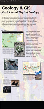
GRE Reports: Park specific geologic reports are prepared following completion of digital geologic maps. These reports are written for park resource managers and are accessible to a wide variety of non-geoscience audiences. GRE reports identify key geologic resource management issues, geologic features and processes important to park ecosystems, and include a brief geologic history of the park area. Each report includes a Map Unit Properties Table that provides a description for, and identifies specific characteristics of map units appearing on the digital geologic map. Some categories addressed often include resistance to erosion, paleontologic resources, and known hazards. Geologists may think of this table as an expanded stratigraphic column while other users may equate it to a map key. Progress to Date: The Geologic Resource Evaluation Program is well underway and has already provided valuable products for park resource management to numerous units of the NPS. As of May 2007, the GRE team has held scoping meetings for 183 of the 270 identified natural resource area parks. Final map products have been completed for 96 NPS units and the team is currently engaged in projects for an additional 52 units. In addition, GRE reports are complete for 30 NPS units with 68 in progress. Content by Melanie Ransmeier and Georgia Hybels. Links of interest:
For NPS go to inside for more information about the conference |
|||
| ParkNet | US Department of the Interior | FOIA | Privacy Policy | Disclaimer | FirstGov |