NPS Photo
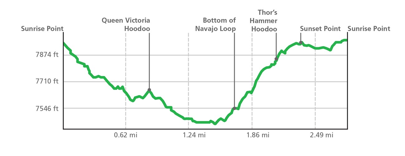
By far the most popular hike in the park and for good reason! This is the hike we most recommend to first-time visitors who are looking for a moderate hike to descend into the Bryce Canyon Amphitheater and walk amongst the hoodoos. The Queen's/Navajo Combination Loop combines the open views and unique hoodoos of the Queen's Garden Trail with the iconic switchbacks and towering canyon walls of the Navajo Loop Trail.

How to Get ThereThe Queen's/Navajo Combination Loop can be accessed from either the Sunrise or Sunset viewpoints. How to Hike the Queen's/Navajo CombinationThis loop starts at either Sunrise Point or Sunset point and we recommend hiking it in a clockwise direction, regardless of which point you start the trail from. The most recommended route descends from Sunrise Point on the Queen's Garden trail and ascends either side of Navajo Loop (Two Bridges or Wall Street) to Sunset Point. Complete the loop by walking the easy 0.5 mile (0.8 km) portion of the Rim Trail back to where you started the hike. Why do we Recommend Hiking Clockwise?
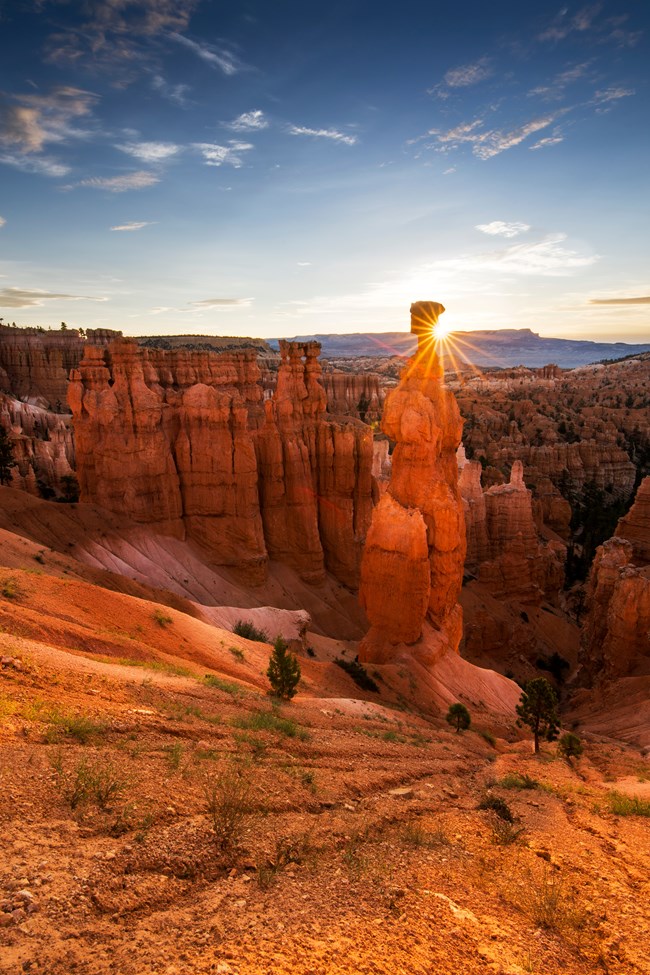
Wall Street Winter ClosuresThe Two Bridges side of the Navajo Loop is open year-round, however the Wall Street side is closed in months when precipitation combines with freezing overnight temperatures. Where is Thor's Hammer?Thor's Hammer can be seen from the Rim Trail near Sunset Point so you don't need to hike the Navajo Loop to experience it. If you want to get a closer look, hike down the Two Bridges side of Navajo Loop. You don't need to hike down too far to see it, just a few switchbacks will do!SafetyBryce Canyon is a high altitude park ranging from 8,000 feet (2438 m) to over 9,000 feet (2743 m) in elevation. Even mild exertion in the park can lead to altitude-sickness if you're not prepared. Visit our Hiking at High Altitudes page to learn more.Wear hiking boots with good ankle support and "lug" traction. In winter, traction devices are strongly recommended. Wearing shoes or boots not designed for hiking is the number one cause of rescues and injuries that require hospital visits at Bryce Canyon National Park. 
|
Last updated: May 22, 2024
