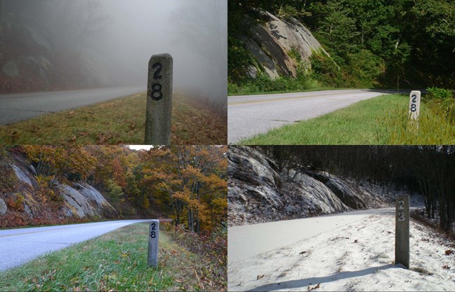
NPS photo- Peter Hamel The parkway connects Shenandoah National Park, near Waynesboro, VA (Milepost 0) with Great Smoky Mountains National Park, near Cherokee, NC (Milepost 469). Asheville and Boone, NC and Roanoke, VA are the largest cities along the way. Car GPS units do not work well on the parkway. We use milepost markers for addresses, and these are not recognized by the device. Use your GPS to direct you to communities near the parkway, then follow road signs and a map. Before driving to the parkway, check:
If you are traveling here in an alternative fuel vehicle, plan your trip with the Department of Energy's Alternative Fueling Station Locator. Mileposts MarkersWhile driving, look for milepost markers along the parkway. They measure out each mile so you know how far you have traveled. The official parkway map, available in park visitor centers, is milepost referenced, so you can use it to find your planned destinations. |
Last updated: October 31, 2024
