Neches Bottom and Jack Gore Baygall Unit

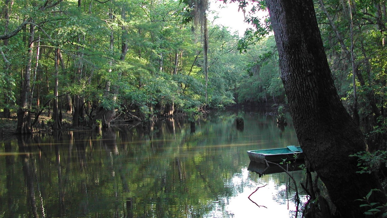
empty boat on the water in a lake surrounded by woods
You can explore the unit's oxbow lakes by boat.

NPS Photo

13,735 acres
Hardin and Jasper Counties


Opportunities

  • Backcountry camping (March-September on land; year-round on Neches River sandbars)
  • Fishing
  • Hunting (October-February)
  • Paddling
 

Overview

The Neches Bottom and Jack Gore Baygall Unit preserves a large section of the Big Thicket along the Neches River. A jungle-like place, the Jack Gore Baygall is one of the largest known baygalls. This lowland area floods when the Neches River overflows its banks. Hidden in the woods are many oxbow lakes waiting to be explored.
The preparation needed to safely explore this rugged, undeveloped unit is not to be taken lightly. This unit can be difficult for experienced backcountry explorers and locals alike.

There are no facilities or maintained trails here. All hiking in the unit is off-trail. Adventurous hikers enjoy camping in the backcountry in spring and summer. Paddlers can camp year-round on sandbars along the Neches River. Hunting is allowed in the unit in fall and winter. Both camping and hunting require a free permit from the visitor center in Kountze.

 
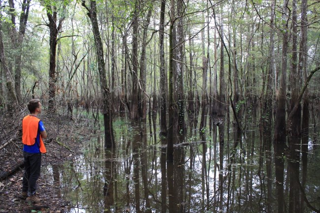
a hiker wearing orange vest stands at the edge of a pond
A hiker examines the flood line in a baygall. Can you see it in this picture?

NPS Photo

Ecology

The Jack Gore Baygall is one of several baygall plant communities found within this unit. Baygalls usually contain shallow standing water and are home to many water-loving plants, like the sweetbay magnolias and gallberry hollies after which they are named. As plant debris seeps into the standing water, it causes the water to lose oxygen and become more acidic. Bald cypress and swamp tupelo are other common trees found in baygalls.


Trails

There are no established trails in the Neches Bottom and Jack Gore Baygall Unit. Hikers are welcome to explore off-trail. Old, unpaved roads provide opportunities for hiking in the unit. Hikers should be self-reliant and carry a GPS device for off-trail navigation. Use the hunting maps below for more detail.

Jack Gore Baygall Hunting Map

Neches Bottom Hunting Map

 
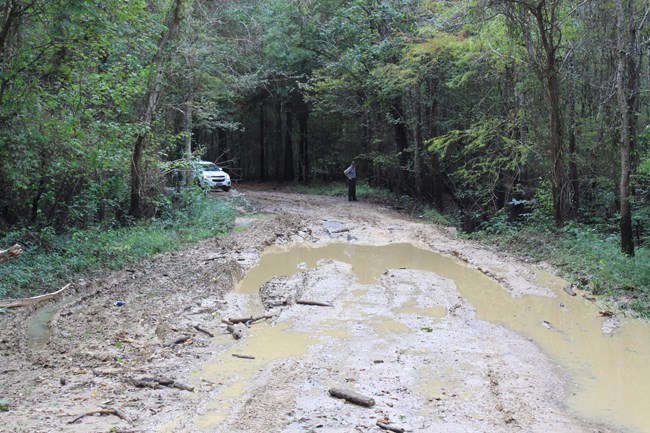
muddy road with person and car in the distance
Be careful while driving on Timber Slough Road, as well as other unpaved roads in the unit. Muddy conditions often remain for many days after it rains.

NPS Photo

Location

The Neches Bottom and Jack Gore Baygall Unit is north of Silsbee and can be reached from FM 2937 (Old Spurger Highway). Timber Slough Road starts on FM 2937 and passes through the baygall, past oxbow lakes, and ends at the Neches River. Franklin Lake Road starts on Craven Camp Road and leads to Franklin Lake.

  • Visitors should be prepared for muddy, washed-out roads. Following heavy rains, roads could be impassable. Timber Slough Road is often washed out and muddy.

  • GPS-enabled devices are essential for traveling in and around the unit; road signs may be missing or not visible.

Lat./Long. Coordinates for Points of Interest:

  • Franklin Lake

    30.471795, -94.115874

  • Ard Lake

    30.498758, -94.119184

  • Clear Lake

    30.496516, -94.114405

 
pond surrounded by dense woods
Unnamed pond in the woods

NPS Photo / Scott Sharaga


Ranger Recommendation

Loading results...

    Last updated: August 10, 2022

    Park footer

    Contact Info

    Mailing Address:

    6044 FM 420
    Kountze, TX 77625

    Phone:

    409-951-6700

    Contact Us